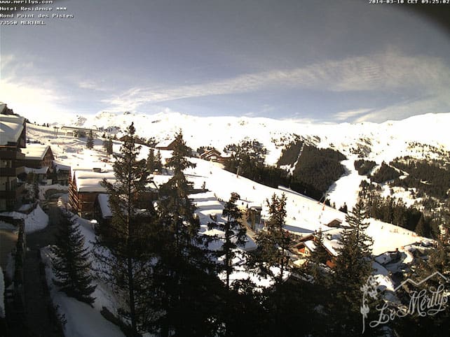
As anyone who saw last Thursday’s Snow Report will know, the Alps have been enjoying some magnificent weather of late – and there’s no sign of it stopping before the weekend.
Today, a bit of cloud is expected to break up the sunshine in places; but from tomorrow the skies are likely to be clear again. Temperatures will rise sharply during the day, and drop back below 0C after dark, continuing the trend of daily melting and overnight refreezing we’ve seen since last Wednesday.
On high, north-facing slopes, there are still a few areas of dry, powdery snow to be skied, both on-piste and off. But everywhere else the cover has been affected by the thaw. Off-piste, there’s a skiable crust of corn snow to be enjoyed in many places – but only if you hire a guide to show you where to find it, and when; because it quickly turns slushy in the sunshine. The risk of wet-snow avalanches rises sharply as the day progresses, too.
Meanwhile, on-piste, spring-skiing tactics are essential if you want to get the most out of the skiing day. Pistes are icy first thing in the morning, and slushy in the afternoon, but you can have a ball if you ski them just after the sun has started to warm them up, when the surface is just softening, but the snow underneath is still firm. Essentially, this means following the sun around the ski area, starting on east-facing slopes and finishing facing west: and then having a long lunch on a restaurant terrace to celebrate.
Looking ahead, there’s a chance the weather might break down in the east of the region at the weekend, as an area of cold, humid air moves south from Scandinavia. But this is by no means a done deal. Keep an eye on our Snow Forecast for the Alps for signs of change.
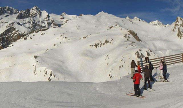
Here’s a quick sample of the morning webcams to give you a sense of the spring-like magnificence across the region.
Pictured below is Serre Chevalier in France this morning, where the cover is currently 80-270cm deep.
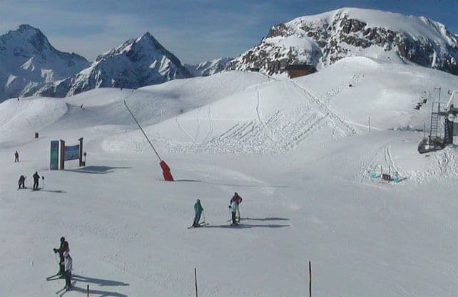
Meanwhile, below is Les Deux Alpes, where the cover is currently 75-220cm deep.
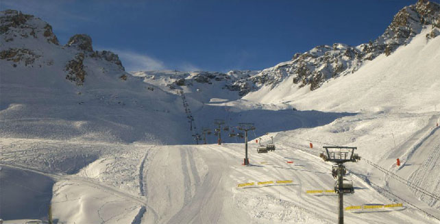
Below is high-altitude Tignes, where the snow is currently 122-220cm deep, on piste. Top temperature here will be +6C this afternoon.
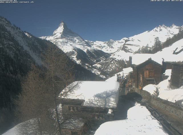
Pictured below is Findeln, above Zermatt. Here the snow is 40cm on the valley runs and 230cm at 2900m. Top temperature in town will be +10C, though it should stay below freezing on the glacier.
Below is Madonna di Campiglio, in the Brenta Dolomites, where the snow is 250-308cm deep, on-piste.
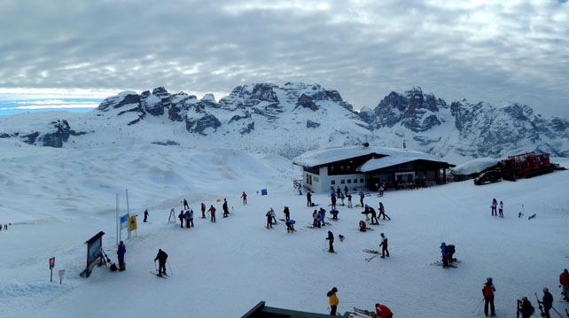
Pictured below is Corvara, in the eastern Dolomites, where there’s 120-280cm for settled snow, on piste. In the village it’ll be +10C this afternoon, and +1C on the higher pistes.
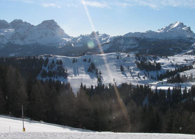
Finally, pictured below is high-altitude Obergurgl in Austria. Here, the snow is 74-156cm deep, and the top temperature on the slopes will be +3C.
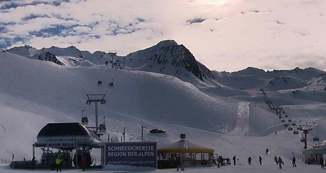
Fresh snow in Western Canada
Across the pond, western Canada has had a snowy weekend. Pictured, below, was Lake Louise in Banff National Park yesterday morning. The resort reported 25cm of snow, mid-mountain overnight, and 57cm in the last week. However, it has been mild across the whole region recently, and a top temperature of +2C was expected – which means wet snow on the lower slopes. There is however, plenty of powder higher up.
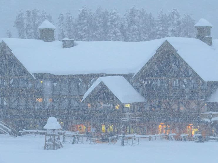
Further south, Fernie has had an even more snow. Yesterday it reported 114cm in a week. Meanwhile, near the coast, Whistler reported 25cm of new snow in 24hrs, and 109cm over the course of the week.
South of the border there was fresh snow at the end of last week, although here too mild weather has been an issue. Breckenridge, Colorado reported 36cm of new snow on Friday and posted this short video to celebrate.
Breckrenridge reports a very healthy 897cm of snow so far this season, although the leader of the pack in the American Rockies is currently Jackson Hole, Wyoming, which claims 1074cm on its upper slopes this winter.
In the American Rockies more snow, and a welcome drop in temperatures, are expected tomorrow.
| France: there was fresh snow in France at the beginning of last week – but that’s now a fading memory, burnt off by the brilliant sunshine which dominates the Alpine weather at the moment. Aim for a high-alittude resort if you’re heading out there in the near future. Currently, Tignes reports 122-220cm of settled snow on its pistes, and Val Thorens 135-240cm. | |
| Switzerland: western Switzerland had plenty of fresh snow in February and early March, but now spring-skiing tactics are essential if you want to get the best from the snow. The deepest cover is to be found in the western and southern resorts. Currently, in Saas-Fee the cover is 128-390cm deep, on piste. Meanwhile, little Andermatt reports cover 100-400cm deep on its slopes, and Laax 35-160cm. | |
| Austria: in the low-lying resorts north of Innsbruck, the snow on the valley pistes is thinning fast in the spring sunshine. For the best conditions, head to the south, where Nassfeld in Carinthia reports cover 80-420cm deep. Meanwhile, in the west St Anton reports snow depths of 45-130cm depending on altitude, which is a little underwhelming by the high standards of the Arlberg. | |
| Italy: there’s no shortage of snow in the Italian resorts. However, in common with the rest of the Alps, it’s been a warm weekend, and spring-skiing tactics are essential if you want to get the best from current conditions. In the Aosta Valley, Cervinia has 150-330cm of settled snow on its pistes, and Corvara in the Dolomites 120-280cm. | |
| Andorra: there was a good dump of snow across the Pyrenees a week ago – but as in the Alps, it’s been warm since then. Currently, Soldeu in the Grandvalira ski area reports 140-270cm of settled snow on its pistes. Across the border in Spain Baqueira reports its snowpack is 205-355cm deep. | |
| Western USA: after a mild weekend, temperatures will drop back tomorrow as a new weather front moves through the American Rockies, bringing 15-20cm of fresh snow to many resorts. Currently, in Wyoming, Jackson Hole has 282cm of settled cover, mid-mountain, Breckenridge in Colorado has 241cm, and in Utah, The Canyons report 157cm. | |
| Western Canada: a week of fresh snowfall in Whistler has left the cover 257cm deep, mid-mountain. Inland, Sun Peaks has 188cm of cover on its upper slopes, and Revelstoke a healthy 250cm. |




It’s another day of brilliant sunshine in the Alps. Chance of snow at the weekend…
https://t.co/hPgOfXPtsU