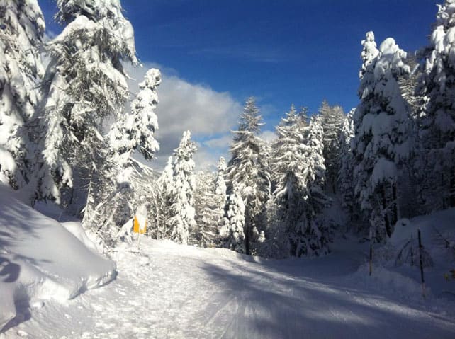
At last! Winter has showed up again in the Alps, and across the region there have been moderate to heavy snowfalls, accompanied by a sharp drop in temperature.
Friday night and Saturday saw the heaviest falls, which in the end favoured south-eastern Switzerland and parts of Italy. In Switzerland, the national avalanche service recorded up to 80cm in the Engadin Valley, home to St Moritz. Meanwhile, across the border in Italy, Madonna di Campiglio notched up 50cm from the dump.
However, snowfall totals in both resorts was dwarfed by the storm that engulfed little Madesimo, north of Milan. Last Friday, there was no snow at all at village level – a reflection of the long spell of mild and sunny weather in Italy. Today, it’s lying 140cm deep in the resort, and 400cm deep, higher up.
Elsewhere, totals were more modest. In Austria, the Stubai glacier notched up 30cm of new snow, as did Zell am See, and in France, Flaine, along with the resorts of the Portes du Soleil did well, notching up more than 40cm. Generally speaking, however, 15-25cm seems to have been the norm across a broad swathe of resorts. In the northern Alps that came on top of light to moderate snowfall last week, and as a result conditions are much improved almost everywhere.
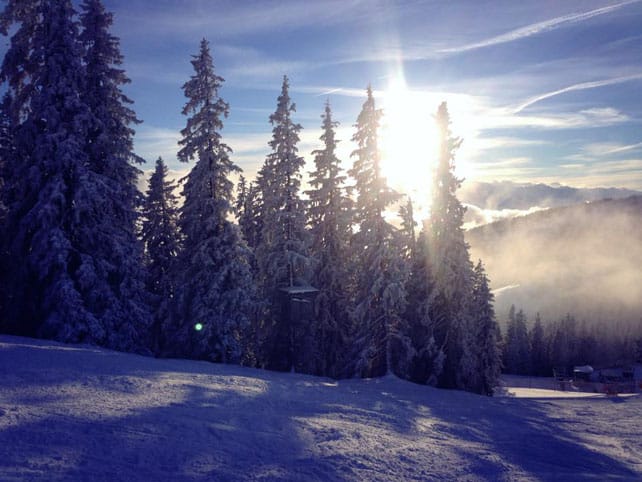
What’s more, it’s likely to stay cool (but not frigid) for most of the week. In France, Meteo Chamonix predicts that the freezing level will be yo-yoing about a bit, but won’t get above 1400m: which is a far cry from the 3000m it reached on January 10 (the warmest January day on record in some parts of the Alps). In Austria, a similar spread of temperatures is expected. The freezing point will be down at 700m on some days and up at 1400m at others.
There will be more snow this week, too – as you’ll see from our snow forecast for the Alps. At the moment, the French and Italian Alps look set to get the best of it, along with parts of southern Switzerland. The Pyrenees could do even better. However, it’s worth noting that forecasters aren’t really sure how the weather will develop after Wednesday.
Does this mean the mild start to the season is now behind us? Sadly, I don’t think so. This has been a very unpredictable winter so far, but one constant has been the presence of a big lump of mild air over the Atlantic; and it doesn’t have to drift very far to the east to reach the Alps. As a result, it’s a safety-first season when it comes to picking your ski resort. Aim high if you haven’t plumped for one yet.
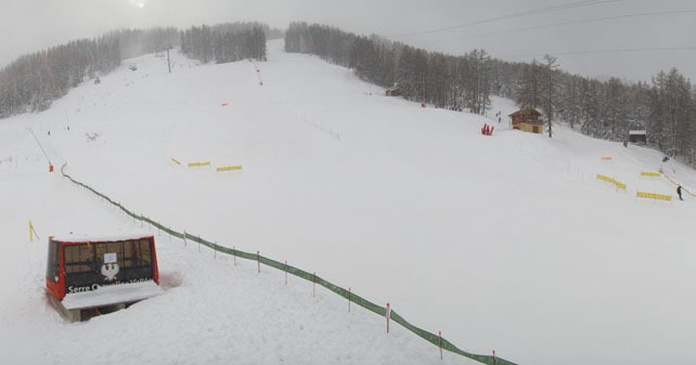
Here’s a quick survey of webcams and Facebook shots from the last couple of days, starting with Serre Chevalier, which is one of the resorts south of Grenoble getting an extra top-up of snow this afternoon. Currently, snow depths here vary from 20-130cm, and on the mid-mountain pistes especially conditions have improved enormously over the last week.
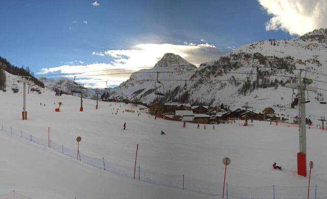
Meanwhile, pictured below is the Front de la Neige in Val d’Isere, where the snow is 50-100cm deep, on-piste.
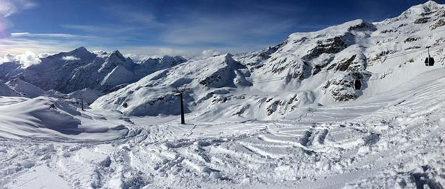
This was the scene up high yesterday in the Monterosa ski area (home to Champoluc), where there was a big dump on Saturday. Snow depths range from 10-240cm, depending on altitude.
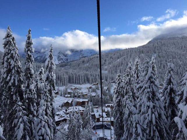
Pictured below was Madonna di Campiglio yesterday, after its 50cm dump.
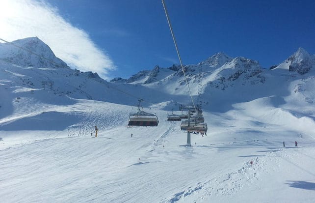
Meanwhile, this was the scene on the Stubai glacier earlier today. I was skiing here last Wednesday, and even then the snow was universally gorgeous, on-piste. It must be even better now after its 30cm top-up.
Across the Atlantic, Whistler has just had a good weekend
Generally, it’s been a so-so season so far in Whistler: but not this weekend, when 30cm of fresh snow showed up, bringing the week’s total to 45cm. Here’s some video published by the resort on Saturday…
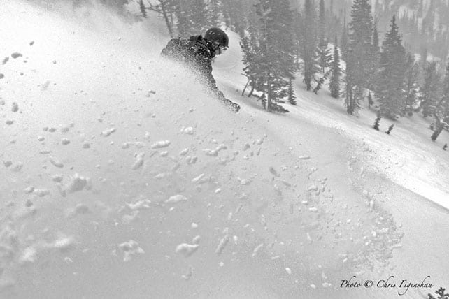
Inland, in Banff National Park, Lake Louise has had a 10cm top-up overnight, while further south in Wyoming, Jackson Hole had 25cm, mid-mountain. Generally speaking, however, the outlook for the next few days is dry, and in Colorado, snow guru Joel Gratz is getting twitchy. “My mood is not that great this morning,” he wrote today. “This is a write up about powder, and we haven’t seen much of it during January.” Given how much snow fell in Colorado over Christmas, we shouldn’t be feeling too sorry for him though…
| France: in the French Alps the weekend snow wasn’t quite as heavy as expected. 20-45cm seems to have been the norm, but on top of the 10-15cm on Wednesday, that adds up to a very good week by the standards of this winter- and there’s more to come this week, too. Even the lower resorts have seen significant top-ups: but I wouldn’t let that distract you from the need to aim high this winter. Another thaw is probably not too far away.
Currently in high-altitude Tignes there’s 50-100cm of cover, on-piste: and the cover is almost universally soft, on-piste. Meanwhile, in the Three Valleys, Val Thorens reports 95-135cm of snow, on-piste. |
|
| Switzerland: in western Switzerland, the situation is very similar to France. The higher resorts are in much better nick now, thanks to the snow of the last week. In the east, they’re in good shape too, while the south-east is still digging itself after Saturday’s big storm. Currently Verbier, in the west, has 20-105cm of cover on its pistes, while Laax reports snow depths of 50-250cm, and St Moritz, 40-152cm – a vast improvement on last week’s figures, expecially on the lower pistes. | |
| Austria: Austria didn’t get quite as much snow as was forecast over the weekend, although most resorts had at least 20cm, and some double that. Currently, in the Arlberg Lech reports cover 55-110cm deep, and in the northern Tirol the Skiwelt has 35-45cm on its pistes. Meanwhile, in the east, the Kitzsteinhorn glacier above Zell am See reports snow depths of 60-280cm and Schladming 65-95cm. | |
| Italy: parts of the Italian Alps were walloped over the weekend: and about time too, as most of the resorts there have seen little fresh snow since December 28. Currently above Cervinia the snow is 100cm deep, mid-mountain. Meanwhile, in the Dolomites, Canazei has up to 105cm of cover on its higher pistes. | |
| Andorra: in Andorra, the Grandvalira ski area reports a respectable 50-100cm of cover on its pistes. The forecast looks promising for the week ahead, with a couple of bullets of snow due in from the north. | |
| Western USA: last week, Utah was the big winner in this week’s snow lottery. More recently, the resorts of the northern Rockies, in Wyoming and Montana have seen decent snow. However, Colorado has only had a few dustings. Currently, Vail in Colorado has 99cm of snow packed down, mid-mountain, but reports only 5cm of fresh in the last seven days. Jackson Hole in Wyoming has 185cm of cover, mid-mountain, and Snowbird in Utah 175cm. | |
| Western Canada: Whistler has just had a decent week of cold, snowy weather. It’s mid-mountain snowpack is now up to 154cm deep. Inland, in Revelstoke has had 30cm of snow in the last seven days and reports cover 180cm deep, mid-mountain. |




Add Comment