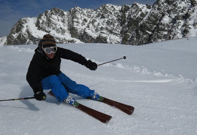
Here he is again, kicking up some of the fluff, just for fun…
Here’s the current snow forecast for Saturday.

What’s more, there’s a fair degree of confidence amongst forecasters that this weather front won’t under-deliver, as so many have done this winter.
Yesterday’s snow felt like a bit of a warm up act for the star attraction, and the French Alps in particular benefitted, with 10-15cm above 2000m.
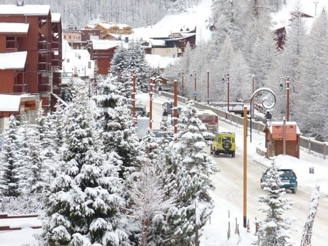
This was Val d’Isere yesterday.
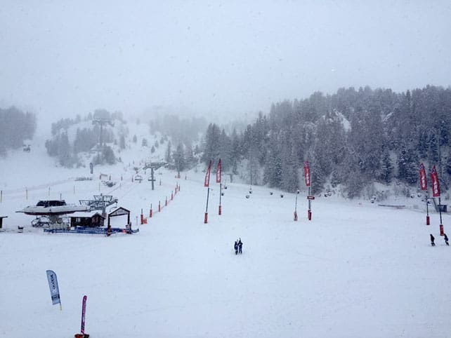
Pictured below was La Plagne yesterday, where Welove2ski editors Peter and Felice Hardy have been skiing this week.
Western Switzerland saw 10-15cm of snow, too, while further east 5cm was more usual. In the Austrian Arlberg – home to St Anton and Lech – they had 10cm.
Now temperatures are rising again, and a warm and unwelcome Foehn wind is blowing from the south; making everyone twitchy again as we wait for the cold air to come on Friday night. According to French forecaster, Meteo Chamonix, the freezing point will drop to 800m as the snow starts to fall, which will be a huge boost to the low-altitude resorts. All the same, if you’re planning to ski in the near future, I’d still pick a resort with plenty of skiing above 2000m, just to be safe. For me, the gorgeous consistency of the snow on the Stubai glaicer yesterday, between 2500m and 3000m, was a salutary reminder of the benefits of staying high in a mild winter.
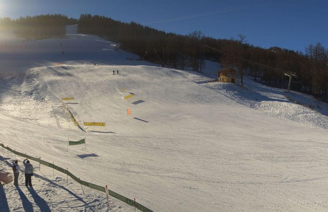
Here’s a quick sample of conditions today, starting mid-mountain in Serre Chevalier in France, where the snow is 50cm deep on piste (refreshed by a 5cm dusting yesterday).
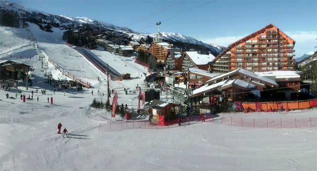
This is Meribel, in the Three Valleys, this afternoon.
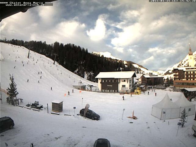
Here’s Lech in the Austrian Arlberg, where snow depths currently range between 45 and 85cm.
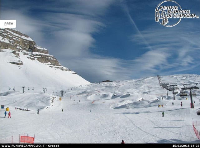
And below is Madonna di Campiglio which, in common with most Italian resorts, hasn’t seen any fresh snow since just after Christmas. Fortunately, the weekend should deliver a much-needed top-up.
Way out west, Utah has just been walloped by a storm
Take a look at Tuesday’s video from Canyons Resort, near Salt Lake City. It notched up 43cm of fresh snow in 48 hours.
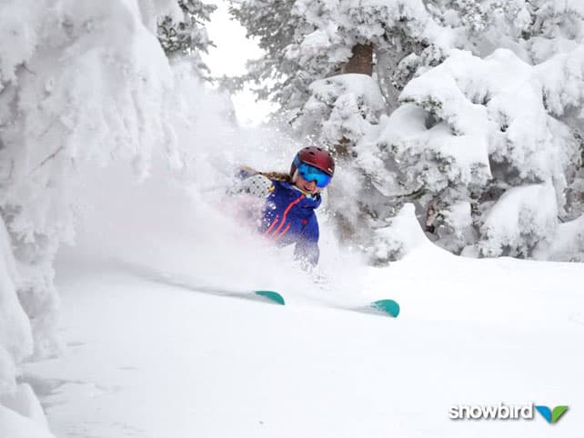
Nearby, Snowbird did even better, recording half a metre in the same period.
Meanwhile, in Colorado, the snowfall was generally more modest. Vail notched up 12cm, although further south, Wolf Creek had about 35cm. Now a drier spell is expected and already the powder pigs are getting twitchy…
| France: hopefully, the 10-15cm of snow that fell above 2000m in France yesterday is just the prelude to a more substantial dump at the weekend. It’s needed: the mild winter so far has given the low-altitude resorts a pretty torrid time, and they’re only just hanging onto their snow on the valley runs. Up high the skiing is better, and has been improved further by the top-up, although the snow pack is generally thin for the time of year. We now wait with baited breath for the dump to arrive.
Currently in high-altitude Tignes there’s 46-100cm of cover, on-piste: and the surface is much softer than it was at the beginning of the week. Meanwhile, Flaine in the Grand Massif has 35-120cm of cover, and much improved skiing on the top pistes, too. |
|
| Switzerland: in western Switzerland, the situation is very similar to France. The higher resorts are in better nick now, thanks to the snow, although they will be warming up again briefly before colder weather arrives at the weekend. Pray for snow! Currently Verbier, in the west, has 5-90cm of cover, and reports 7-15cm of fresh, while Laax reports snow depths of 35-210cm, on piste. In the south, there was only a dusting of snow yesterday. St Moritz, reports snow 8-100cm deep, on piste. | |
| Austria: generally, Austria has had the best of the winter so far – enjoying longer spells of snow as well as cooler temperatures. But the weather has been anything but uniform and there is a big variation in cover. Pistes below 2000m tend to be icy. Among the winners so far have been the Arlberg in the west of the country, where Lech reports cover 45-85cm deep. Meanwhile, in the east, the Kitzsteinhorn glacier above Zell am See reports snow depths of 60-260cm and Saalbach 35-60cm. In the Skiwelt the snow is 30-40cm, on-piste. | |
| Italy: the Italian Alps have missed out on almost all the snow that’s fallen since Christmas. Cover is very thin on the lower slopes, and most resorts are relying on their snow cannons to keep the pistes in reasonable shape. Currently above Cervinia the snow is 70cm deep, mid-mountain. Meanwhile, in the Dolomites, Canazei has up to 60cm of cover on its higher pistes. More snow is needed – and hopefully there will finally be a storm at the weekend. | |
| Andorra: in Andorra, the Grandvalira ski area reports a respectable 50-100cm of cover on its pistes, although it too has been suffering from mild temperatures lately. The next three days look promising, however. There should be significant amounts of fresh snow. | |
| Western USA: see our main report. Utah was the big winner in this week’s snow lottery, although the immediate forecast is now for a dry and sunny spell. Currently, Vail in Colorado has 99cm of snow packed down, mid-mountain, in the wake of yesterday’s top-up, Jackson Hole in Wyoming has 157cm, and Snowbird in Utah a meaty 185cm. | |
| Western Canada: Whistler has had a so-so season so far, but the immediate forecast is promising, with a period of consistent cold and moderate amounts of fresh snow in the offing. Nearly 30cm is expected by close of play on Sunday. Currently, the mid-mountain snowpack is 123cm deep. Inland, in Banff National Park, Lake Louise is expecting a top temperature today of -8C, and has a mid-mountain snowpack of just over a metre. |




Add Comment