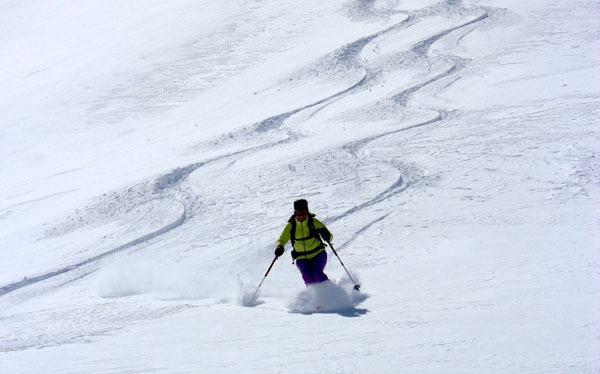
This week, skiing in the Alps has been all about riding your luck, and being adaptable.
I’m currently based in Les Menuires with the Family Ski Company and we’ve enjoyed a spectacular variety of weather. Blizzards, rain, fog and brilliant sunshine have all been on the menu, and we’ve skied every kind of snow imaginable, sometimes in a single descent. It’s been hard work, but deeply satisfying.
Wednesday was the day everyone’s talking about: preceded by two days of snow, it served up deep powder beneath a cloudless sky – provided you were skiing above 2300m, and got your turns in before lunchtime. (After that, it was much less amazing. Even above high-altitude Val Thorens, the new snow was heavy by 2pm, and the steeper pistes were littered with hard snow-rubble).
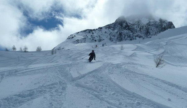
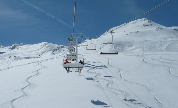
Tuesday was a blast too. While the snow was still falling, there was 10-20cm of powder to be skied on top of the groomed pistes. Visibility was non-existent but the skiing surface was often sublime.
In other words, it’s been a classic week of spring weather. Skiing at this time of year is undoubtedly a lottery – even when you book a high-altitude resort. But I’ve been reminded how much fun it can be, and how good for your ski technique – because you’re never allowed to be complacent. If you can ski conditions as varied as this, then surely you can ski anything.
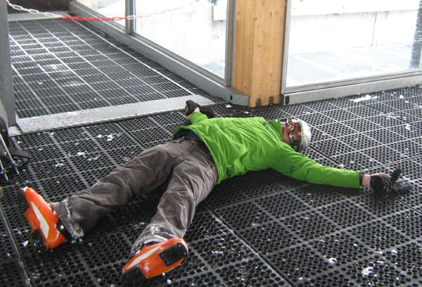
Wild weather, and then a heatwave
Yesterday afternoon, the temperature jumped, and it was raining last night above 2000m. This afternoon, the snow’s thoroughly wet up to 2500m, even on north-facing slopes, and so slushy it’s pretty much unskiable at 1800m. Tonight, thunder storms are expected in the French Alps – with heavy snow at altitude. Friday should see a brief drop in temperature, with more snow/rain in the afternoon. Once again, the France should see the deepest accumulations, but western Switzerland and parts of Austria are likely to get 20-30cm too.
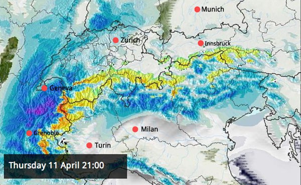
And then, at the weekend, a heatwave is expected. The freezing point will jump above 3000m, and it’s likely to stay warm and sunny until the middle of next week at least. Anyone heading out to the Alps should pack a couple of pairs of shorts.
Advertisement
In Scandinavia, it’s still chilly
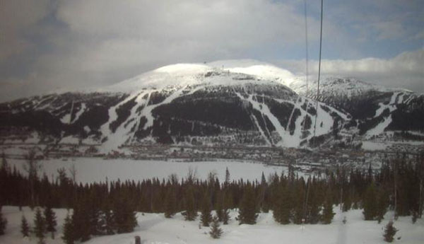
Scandinavia’s long winter continues. In Are, Sweden, the temperature at the bottom of the lifts is barely more than 0C, and -8C at the top. This is how the ski area is looking today, seen from the other side of the lake.
Across the Atlantic, winter is biting back
There was a big snowstorm in Colorado on Monday night and Tuesday – which favoured the southern half of the state, and dropped around 35cm of fresh snow on Aspen. Further, less powerful storms as expected this week and next. Many resorts have closed or are closing this weekend, but Arapahoe Basin is expecting to spin its lifts until June 2. Meanwhile, up in the Canadian Rockies, winter is back on the menu in Lake Louise, which is open until May 5. The resort reports 27cm of snow in the last seven days and is expecting a top temperature today of -2C.
| France: see our main report. It’s been a week of ever-changing weather in the French Alps – and the high-altitude resorts have had the best of it. At the weekend, hotter, sunnier and more stable weather will set in. Currently Val Thorens’ snow report talks of 155-355cm of cover and a temperature of +6C at village level. In Tignes the snow’s 148-318cm deep, and the mercury should hit +7C at resort level. | |
| Switzerland: the western end of the Swiss Alps saw quite heavy snowfall this week – though not as heavy as France. Up to 30cm fell in places. As in France, the only place to ski is at altitude, as the snow lower down is very wet and heavy during the day. In Verbier, the snow is currently 55-296cm deep on-piste. Zermatt reports a settled snowpack of 20-230cm, and a mixture of rain and snow falling today. | |
| Austria: a mixture of snow and rain is expected today in Austria – as well as mild temperatures, with the freezing level up to 2600m in places. Heavier snow is expected tomorrow, and a slight drop in temperatures, before a really warm spell sets in on Sunday. High-altitude skiing is the name of the game now that spring is settling in. Obergurgl is expecting a top temperature of +5C today, and has 70-187cm of settled snow. St Anton reports 60-245cm of settled cover on its pistes, and is expecting a top temperature of +10C. | |
| Italy: the ski season is winding down quickly in Italy now that Easter is over, with only a handful of high-altitude ski areas due to remain open after Sunday. Currently, Cervinia reports 80-310cm of settled snow, and today saw a top temperature of +6C in town. | |
| Andorra: midwinter saw heavy snow in the Pyrenees, and the depth of the cover has allowed the resorts in Andorra to stay open longer than usual. In the Grand Valira – Andorra’s biggest ski area – the lifts will be spinning until April 28. The resort is claiming up to 230cm of settled snow on its pistes. | |
| Western USA: the season is winding down in America – just as fresh snow blows in. Today, Snowbird in Utah reports 12cm of fresh on its upper slopes, on top of the 30cm that fell on Monday night. It now has266cm of settled cover, mid-mountain. In Vail, Colorado, there’s 8cm of fresh snow this morning and the mid-mountain snowpack is 119cm deep. | |
| Western Canada: once again, the Canadian Rockies are proving themselves a good bet for spring skiing. Lake Louise in Banff National Park reports 27cm of fresh snow in the last seven days and is expecting a high of just -2C today. The snowpack is 171cm deep, mid-mountain. Above Whistler, the mid-mountain snowpack is 245cm deep. There the season is due to last until May 27. |


Blizzards, rain, sun – and deep powder. This week we’ve seen the lot in the Alps. Read our snow report for details. https://t.co/xiFANg5FvL
Hey Sean you were in the wrong places yesterday! We were enjoying powder until 5pm on north facing slopes above Meribel!