The super-snowy start to November continues. The latest storm is beginning to clear from the eastern Alps, having walloped the Italian Dolomites and much of Austria.
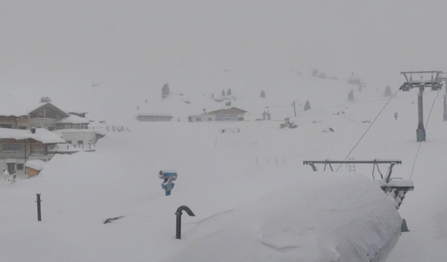
The heaviest falls I’ve seen reported so far are in Cortina d’Ampezzo in the Dolomites, where they’ve notched up 80cm of new snow in the last 24 hours. Nearby, the Val Gardena reports 55cm of new snow. Here’s how it looked there this morning.

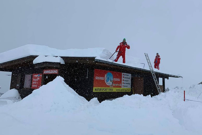
Meanwhile, in Austria, the Hintertux reports 70cm of new snow overnight. Time to get up on the roof and start shovelling.

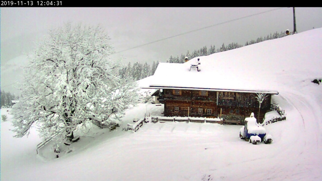
And this was the scene above Soll in the Skiwelt.

Meanwhile, Obergurgl, which opens for the season tomorrow, has reported more than half a metre of fresh snow.
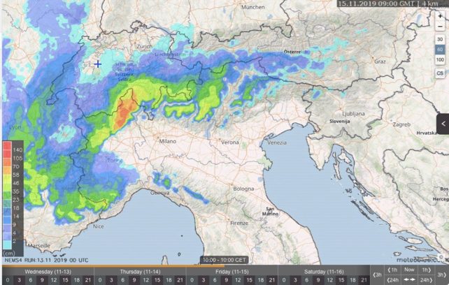
However, the next storm looks even more powerful. It’ll roll in on Thursday night, and tend to favour the southern and central Alps. Over a metre of the white stuff is expected in 24 hours in parts of Italy – first in Lombardy, and later in the Dolomites.
Here’s Meteoblue’s 24hr snow forecast to 10am on Friday.

Yet more snow is expected by early next week – by which time the Dolomites and Osttirol will have had half a winter’s-worth of snow.
However, amidst these extraordinary scenes, the mid-range forecasts are beginning to predict milder weather at the end of the month. It doesn’t yet look like a major thaw, but it’s worth keeping an eye on the trend if you’re planning to ski at the end of the month. At this time of year, if you want to be absolutely sure of your snow quality, make sure you’re skiing at altitude.


Add Comment