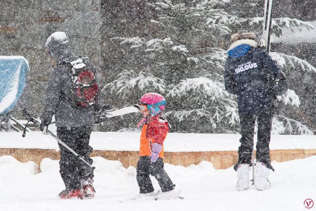
A sense of cautious optimism is spreading across the Alps.
We haven’t yet had the kind of monster early-season storms that walloped the region at the start of the 2012 season. But we have had several widespread falls of snow, and several cold snaps. The snow cannons have been running hard whenever possible, and across most of the Alps resorts are in much better shape that they were at the end of November in 2014, 2015 or 2016.
Admittedly, there was a short, sharp thaw last week. But this has been followed by a weekend of light to moderate snowfall, and low temperatures. Both are set to continue this week. In Austria, for example, the daytime freezing point is at 700m today and will be at 300m on Friday.
Each of the coming snowfalls will be fairly light, but in the northern Alps especially they’ll combine with the work of the snowmaking systems to create good early-season conditions – on-piste at least.
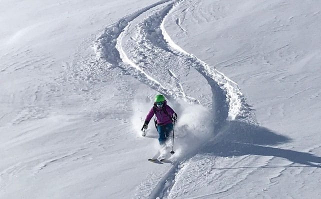
There’ll be wind-blown pockets of powder in places too: as there were in Val d’Isere at the weekend. The resort opened for the winter on Saturday, and whilst strong winds scoured many slopes, those in the know (in this case the guides at Alpine Experience) were able to find the odd sheltered stash.
Here’s our forecast for Wednesday – the snowiest day of the week according to current predictions.
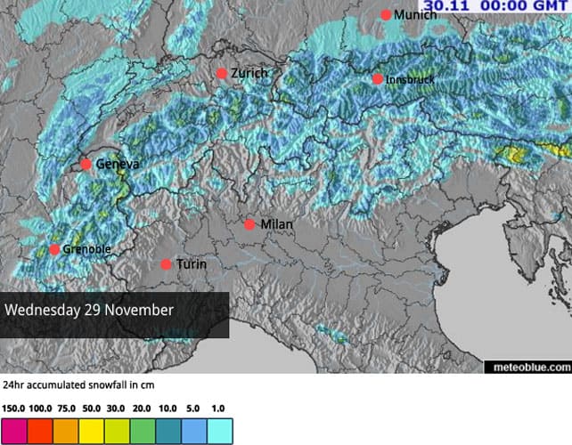
What happens after that is crucial, of course. Currently, mid-range weather forecasts are predicting a thaw on Tuesday December 5, but it will probably be short-lived. There could be another cold snap immediately afterwards, but it’s too soon to be sure of it.
So the rule of thumb for early-season skiing still holds. Aim for one of the high-altitude resorts or one with a good reputation for snow-making and plenty of slopes above 2000m.
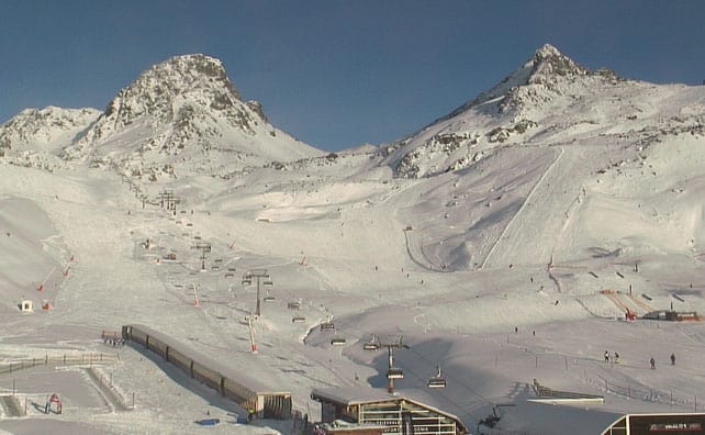
Pictured below is how Ischgl in Austria looked this afternoon. The resort opened on Thursday and has one of the world’s best snow-making systems. The work of 1,100 snow cannons has combined with natural snowfall to create 171km of skiable pistes. That’s a remarkable achievement given the date.
As far as I know, Ischgl currently offers the largest properly-integrated area of skiing in the Alps – though the Dolomiti Superski area in Italy may surpass it once it gets the Sella Ronda open at the weekend. It too is a master snow-maker – and is equipped with over 5,000 snow cannons.
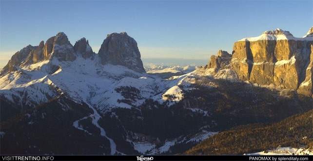
Here’s how the slopes above Canazei in the Dolomites were looking this afternoon. Not bad for a view, huh?
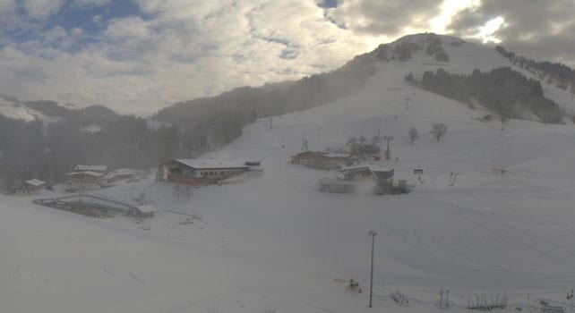
And just to give you an idea of how cold it is at the moment, this was the Skiwelt in Austria earlier today. The highest point of the ski area is 2,030m, so it’s not exactly high-altitude by Alpine standards: but look at extent of the snow cover. Note how hard the cannons are working, too…
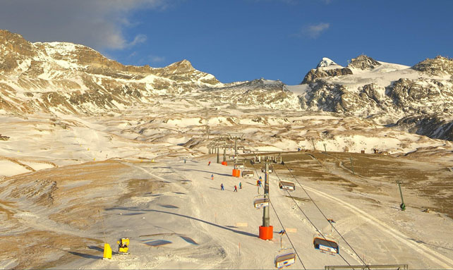
Once exception to the generally snow scene in the Alps is in the south-west. Pictured below is Cervinia. As you can see, the snow cannons have been at work, but Mother Nature has been niggardly.
Meanwhile in North America…
The Pacific Northwest and the Northern Rockies are where the action has been so far this season. Whistler has already had 341cm of snow. Jackson Hole in Wyoming reports 312cm.
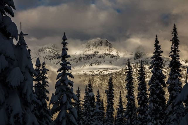
Last week saw a sharp thaw, but winter is getting its act together again. Whistler is expecting snow every day this week until Saturday.
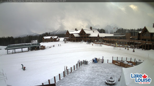
Inland, Lake Louise has had a snowy start to winter as well – and has just finished a weekend of World Cup ski racing. Here’s how it looks today.


Add Comment