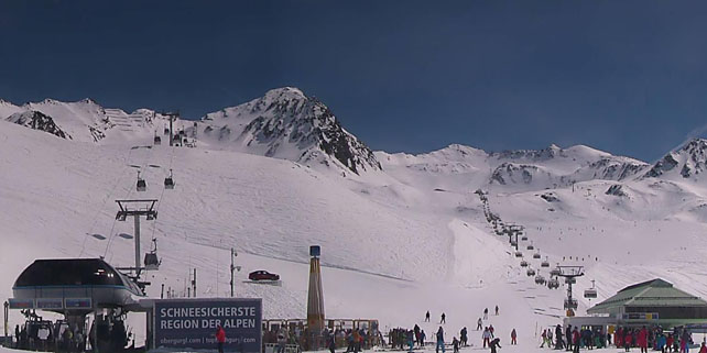
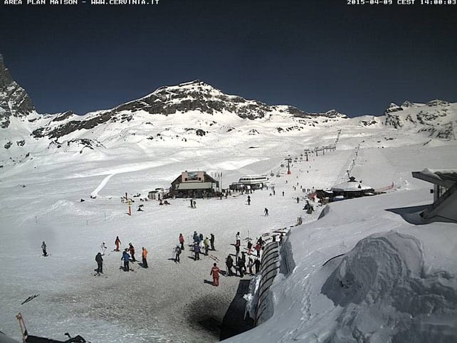
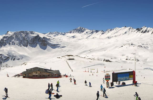
After all the wintry excitement of last week, spring is back in the Alps – and this time, it means business.
Last week was a remarkable one in the Alps. More like mid-winter than mid-spring, it was characterised by heavy snow and low temperatures, and brought over a metre of the white stuff to parts of Austria.
This week is very different. The last snow fell in Austria on Monday and Tuesday, and since then bright sunshine has been the rule right across the region. Now, the cool north-easterly wind has dropped too, and temperatures are rising sharply.
In France today, the freezing point is up to 3200m – which is well above the top lift in all but a handful of resorts. In Austria, it’s likely to be at 3000m. If you want to find snow that isn’t affected by the thaw, you’ll have to stick to the highest, shadiest slopes.

What does this mean for skiers? Well, first of all, the mountains are going to look gorgeous, and anyone who doesn’t kick off their ski boots and sprawl across a sun terrace this afternoon, soaking up the view, needs their head examined.
A potent sunblock is vital too. With the atmosphere so thin and the snow reflecting back so much sunlight, the average resort is a UV inferno at this time of year, and you’ll burn to a crisp if you don’t slap on the cream at regular intervals.
But to really get the maximum benefit out of the skiing day, you’ll need to adopt spring-skiing tactics. Yes, I’ve written about these many times before, but that’s because they make all the difference between a brilliant day and frustrating one. With temperatures high during the day, and the skies clear at night, the snow will be going through a 24hr melt-refreeze cycle – and the time to catch it is just as the top layer each piste begins to soften each morning. That happens at different times of the day according to altitude and aspect, and the key is follow the sun around the slopes as its warmth spreads.
Get it right and you’ll find yourself snatching three or four hours of smooth and silky skiing from the jaws of a thaw – and you can’t help feeling just a little bit smug as a result.

There are two other things to bear in mind about current conditions. First is that there’s a big purge of snow underway from steep and sunny off-piste slopes. Expect wet-snow avalanches to be triggered from late morning onwards: and hire a guide if you’re planning to ski away from the groomed runs.
Secondly, the snow on lower pistes is going to be particularly slushy, and thinning very quickly. So aim high. I’m off to high-altitude Tignes to ski next week, which is exactly the kind of resort you want to targeting in April (click on the link for more top spring-skiing resorts).
What’s coming next?
The high pressure which currently holds sway over western Europe is due to drift east, and for a couple of days, on Saturday and Monday, the Alpine weather will be unsettled. There could even be some light snowfall at altitude over Switzerland and Austria on Monday. It doesn’t look as though there will be a profound change in the weather, however – and the sun should make a speedy return next week.
Meanwhile, across the Atlantic…

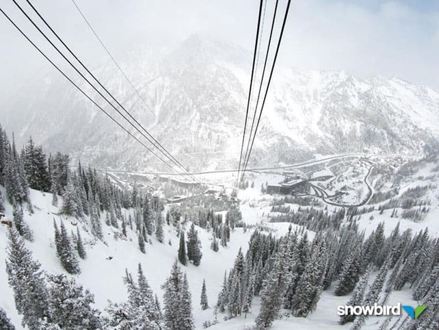
There’s some fresh snow about in the Utah and Colorado Rockies today. Snowbird in Utah woke up with 20cm of new cover on its slopes this morning, to add to 5cm which fell yesterday. In Colorado, Breckenridge reported 5cm and Copper 8cm today.
Snow is expected in western Canada tomorrow, too, accompanied by lowish temperatures. Whistler is expecting maybe 20cm of fresh over the weekend, and it’s likely to snow inland, as well.
| France: Above 2000m, there’s still plenty of cover, thanks to the heavy snow last week: but you’ll have to ski much higher than that if you want to find soft, cold snow unaffected by the current thaw. Today in the Espace Killy, both Val d’Isere and Tignes are reporting 96-190cm of settled snow on the pistes. Meanwhile in high-altitude Val Thorens, one of the resorts hosting the 3 Vallees Enduro Race on Sunday, the snow is 145-255cm deep. | |
| Switzerland: conditions in Switzerland are similar to those in France. There’s plenty of snow at altitude, but the cover lower down in thinning fast. Currently Verbier in the west reports a mid-mountain snow depth of 179cm, and 290cm at the top, while St Moritz in the south has 26-159cm of cover across its pistes. | |
| Austria: Austria currently has the deepest cover in the Alps, thanks to the snow last week. However, the sudden jump in temperature is having an impact. Ideally, you want to be on a glacier today, such as the Hintertux, where the snow is currently 290cm deep on the higher pistes. Meanwhile, in the Arlberg, Lech has 55-235cm of cover, on piste. In neighbouring St Anton, there’s still over four metres of snow bedded down on the Valluga. Meanwhile, the Skiwelt is one of the areas closing its lifts at the end of the season on Sunday. | |
| Italy: there was widespread snow across the Italian Alps two weeks ago, but most resorts missed out on the big dumps last week. Only those close to the northern frontier have benefitted. Above the Aosta valley, high-altitude Cervinia currently has cover 25-190cm of cover, on-piste. Meanwhile, in the east Canazei in the Dolomites reports 40-120cm of settled snow on its slopes. However, some lifts in the Val di Fassa – of which Canazei is a part – have already been shut down until the summer. | |
| Andorra: it’s a mild spring day in the Pyrenees, and a top temperature of +8C is expected in the Grandvalira ski area. The snow is currently 50-150cm deep, on-piste. | |
| Western USA: there’s been another snowy interlude in Utah and Colorado (see main report) – offering a brief respite in what’s turned out to be a long and mild spring. Currently, in Vail, Colorado, the mid-mountain snowpack is 112cm deep, and the daytime high is expected to hit +4C. On Monday, it could reach +13C. In Utah, Snowbird has 190cm of settled mid-mountain snow, and is expecting a daytime high of 0C on the slopes. | |
| Western Canada: after a snowy Easter – especially in the the Rocky-Mountain resorts – more snow is expected in western Canada, along with coolish temperatures. In Whistler, the mid-mountain snowpack is currently 176cm deep. Meanwhile, Lake Louise has 153cm of snow on its mid-mountain pistes. |


I’m off to Tignes next week as well! Will you share any local spring-skiing tactics with me?!!
Hi Matt! Sorry I missed your comment at the end of the week. I’ll email you as well. You’re probably already skiing as I write: but the key is to hit the pistes that get the early-morning sunshine first. Exactly when is a matter of trial and error as you get the feel for the conditions on the first morning, but you want to hit each slope just as the top layer of the piste has softened but the underlayer is still hard. Judging by today’s temperatures I’d say 9.30 would be a good moment to get started. But you’ll have to see for yourself. The runs under the Palafour chair or the Tichot and Grattau chairs worked for me last April in the morning, and you should be able to ski silky, grippy snow there till 11.30ish, by which time the bottom end of the runs will be heavy. Then go high, up on the glacier, and see what it’s like up there. Shady Double M should be good then too, along with the runs facing northwest, under the Paquis and Toviere lifts. If you’re heading to Val d’Isere, make sure you ski The Face early. It faces east and gets the early-morning sun.