There are big smiles in New Zealand today. The weather has turned cold and wintry again, and light, dry powdery snow has been falling across many resorts.
Reports vary as to how much. The Wanaka resort of Treble Cone claimed 5cm today. Up on Mt Ruapehu in the North Island, Turoa claimed 10cm. Near Queenstown, The Remarkables reports 20cm.
Local snow forecaster snow.co.nz thinks the weather a bit weird: “no real storm as such but still snow around the country,” it reports. “Between 1 and 25cms pretty much everywhere last night alone”.
So far this season there hasn’t yet been a blizzard to match the one that hit in late June last winter, and off-piste in the South Island resorts the cover is still on the thin side. But the wind has created pockets of deeper powder in sheltered gullies and bowls, and that’s where everyone was riding today, Here’s “Johanna the Swede” at The Remarkables.
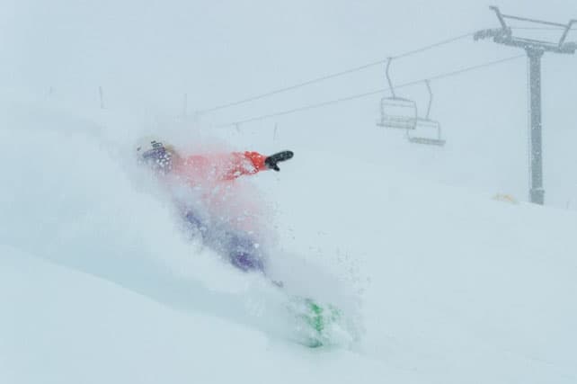
On Mt Ruapehu in the North Island, the cover’s deeper: as you can see from this shot from Big Bowl on Turoa today.
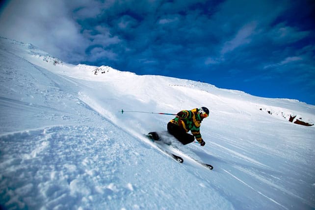
There should be more snow showers this week, and the weather will stay cold until the weekend.
(Check out our guide to the best places to ski in New Zealand for more on the South Island resorts.)
There’s been more snow in Australia, too
The Snowy Mountains of Australia are having a fabulous run of weather, which began on June 23 and has brought repeated bouts of heavy snow ever since. The last dump brought 30cm to Perisher last Wednesday night. Currently, the snow is up to 155cm deep, off-piste.
Here’s a rather tasty snatch video, from Perisher, shot last week.
Since then, the skies have been mostly clear, with daytime temperatures above freezing in the sunshine. Each night, temperatures have dropped back, allowing resorts to run their snow cannons. However, there’s no sign yet of another visit from the snow gods in the immediate forecast.
The Andes have also had a top-up
Who knew? In the Andes, the snow falls like sticks…
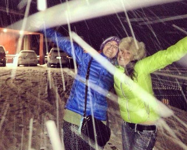
The picture, above, was taken in Valle Nevado, Chile, on the night of July 14, when 10cm of fresh snow fell. The resort has had a decent start to winter, although the season hasn’t quite lived up to its early promise. 244cm of the white stuff has fallen so far this winter, and cover, on-piste, is currently 35cm deep.
Meanwhile, pictured below is Catedral Alta Patagonia in Argentina on July 16, which received 20cm of fresh snow from the same storm system.
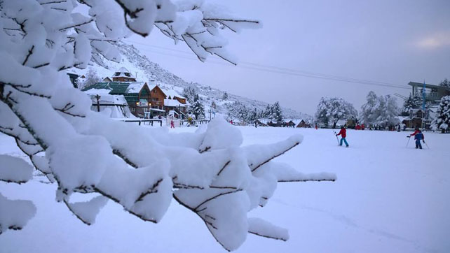
It’s been sunny since then. Here, the snow is up to 50cm deep, on-piste.
In the Alps, the weather’s turned stormy again
Much of last week was a cracker for the summer skiing scene in the Alps, with fresh snow on the glaciers and – at long last – a settled spell of sunshine.
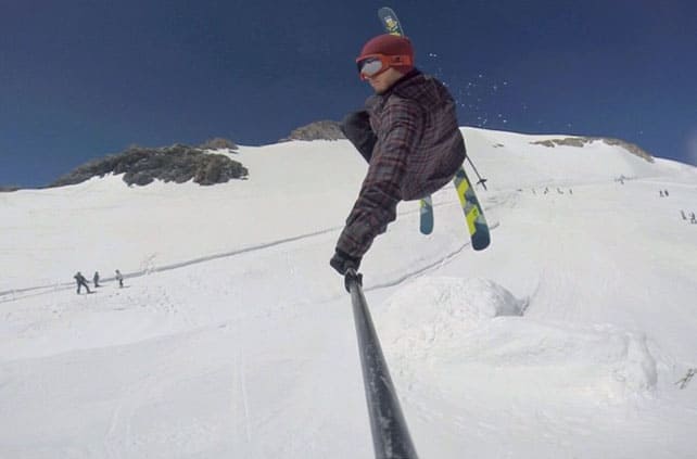
Pictured above is how it was looking last week on the glacier in Tignes – the skier is French freestyler Flo Bastien.
There have been plenty of Brits on the glacier too – training with British ski school Snoworks…
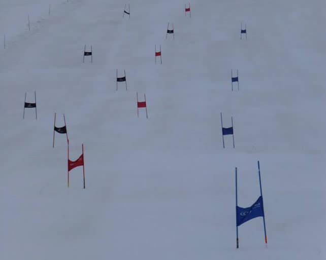
Now, however, the weather has closed in again. In Les Deux Alpes, yesterday, the final of the Mountain of Hell mountain bike race had to be cancelled because of high winds and heavy rain at altitude. According to French forecaster Meteo Chamonix , there will be heavy rain over the next couple of days, before the weather improves to give sunny mornings and afternoon showers, which may be thundery.
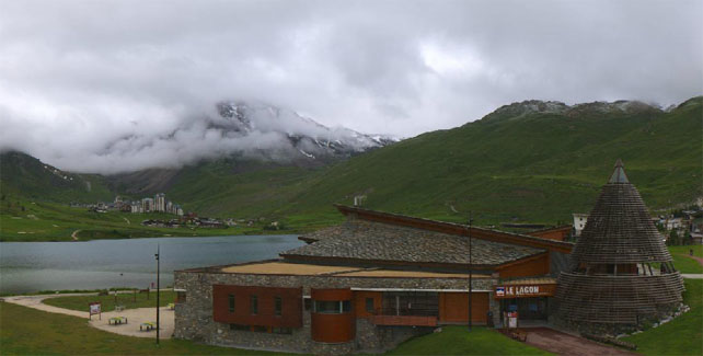
Here’s how it was looking this morning in Tignes – note the dusting of snow at altitude…
| France: you can currently ski on the glaciers above Tignes (until August 3) and Les Deux Alpes (until August 30). After settled, sunny weather last week, there’s rain in the forecast today and tomorrow. Conditions will improve on Wednesday but there could still be afternoon thunderstorms. | |
| Switzerland: as in the French Alps, the first half of the week will be wet – but the sun is expected from Wednesday, and the chance of afternoon thunderstorms will be lower. Currently, above Zermatt, there’s 180cm of settled snow on the glacier and 20 pistes are open. The glacier above Saas-Fee is now officially open for summer skiing too: but the pistes are shut today because of soggy snow conditions. | |
| Austria: you can currently ski on the Hintertux glacier east of Innsbruck, as well as the Molltaler glaicer near Flattach. On the Molltaler the cover is up to 295cm deep, and there’s 7cm of new snow. The next two days are expected to be wet. | |
| Italy: you can currently access glacier skiing on the Swiss-Italian border from Cervinia, when conditions allow. | |
| Andorra: Andorra’s ski resorts are now closed. | |
| Western USA: The Rocky Mountain ski season is officially over! Arapahoe Basin, Colorado, has finally closed for the season. But let’s not forget that in in late September they’ll be cranking up the snow cannons again if conditions are right. If you want to ski now, head to Timberline Lodge on Mount Hood in Oregon. | |
| Western Canada: the Horstman above Whistler is open to skiers and boarders for the short summer season – which runs until July 27. |


Looooovely snow in New Zealand today. Our latest Snow Report has details. https://t.co/BEQ55S3dnC