


For the most part, the week has got off to a sunny and magnificent start in the Alps. It’s seven days since the last snow fell in most places; but there’s still three metres of the stuff packed down at the top of some resorts, and thanks to low-ish temperatures it’s in good nick, given the time of year.
On north-facing slopes, you can still find powder off-piste, as well as consistently soft and grippy snow on the groomed runs. Meanwhile, on south-facing slopes (and many east- and west-facing ones too), the snow is going through a daily melt-freeze cycle. That means hard-packed pistes first thing each morning, which will soften slowly through the day. Off-piste there’s a hard crust on many slopes which can also be skied as it softens – but unless you’re a real spring-skiing expert, you’ll need to hire a guide to show you where and when this can be done.
The deepest snow is generally in the French Alps and western Switzerland, but the Austrian Arlberg also has great cover – as does the East Tirol and much of Italy. This is all thanks to heavy snow between February 28 and March 6.
The avalanche risk is now moderate in most areas at 2/5. The freezing point is low for the time of year, at 1500m, but the strong sun is affecting slopes higher up than that.
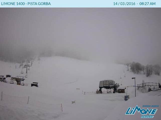
There is one exception to the sunny picture this morning. In the south-western resorts of the Italian Alps, it’s been snowing over the last 24 hours. Here’s how it’s looking in Limone at the moment, which reports 5cm of new snow overnight.
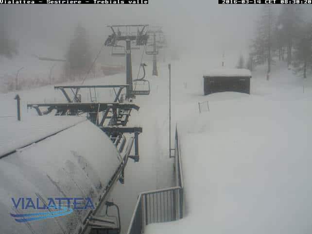
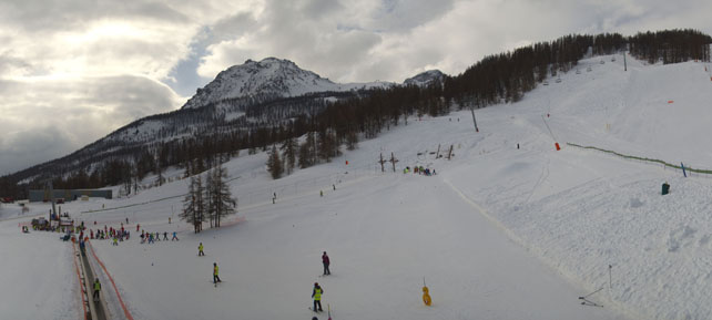
And this is Sauze d’Oulx.
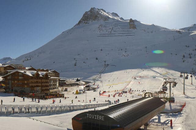
Elsewhere, the sun is blazing in many resorts, as you’ll see from the webcam shots, below.
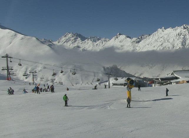
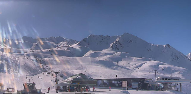
Pictured below is Ischgl in Austria, where the snow is 30-135cm deep.
This is high-altitude Obergurgl, which has 37-204cm of settled cover.
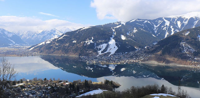
Below is Zell am See, further east in Austria. Up high on the Kitzsteinhorn glacier there’s two metres of cover, but as you’ll see, in the valleys, spring has a much firmer grip on conditions – although 100% of runs on the lower slopes are still open.
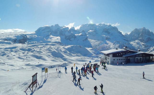
Pictured below is the magnificent scene in Madonna di Campiglio in the Brenta Dolomites, where there’s 90-180cm of cover.
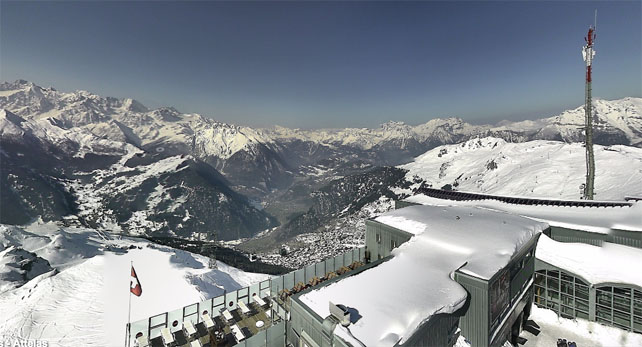
Below is Verbier, where’s there’s 40-250cm of settled snow.
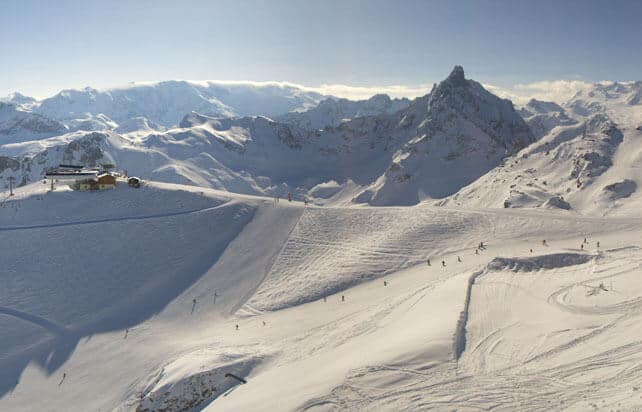
Pictured below is Courchevel this morning, where the snow is 150-200cm deep.
And this is Serre-Chevalier, where there’s 30-170cm of settled cover.
Looking ahead, the generally sunny outlook will be interrupted on Wednesday, when a weak cold front will reach the Alps from the north-east. It’ll bring light snow to Austria and parts of Switzerland and the Dolomites, and then combine with a weather system in the western Med, to produce much heavier falls over the south-western resorts of Italy.
This is our current snow forcast for Wednesday.

However, right across the region, the week will finish with more sunshine.
Meanwhile in North America…
South of the border, California is having another big-snow moment to add to the one that hit the region a week ago. On Sunday morning, Sugar Bowl reported 50cm of new snow, Squaw had 46cm and Kirkwood 45cm – and there’s a lot more to come before the clouds lift later today.
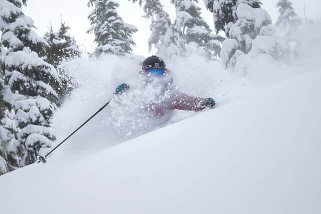
Here’s now it was looking at Northstar yesterday morning.
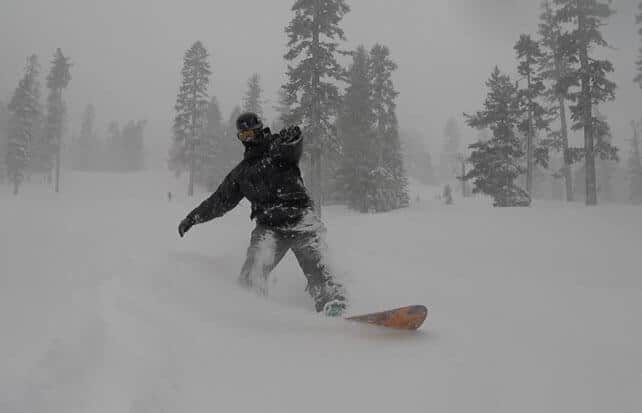
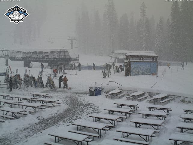
And this was the scene at Sugar Bowl.
There’ll be snow inland this week, too. Utah is expecting 15-45cm of snow on Monday night, and there are likely to be several days of snow in northern Colorado and the northern American Rockies too.
I’ll be back with a full snow report on Thursday.


Add Comment