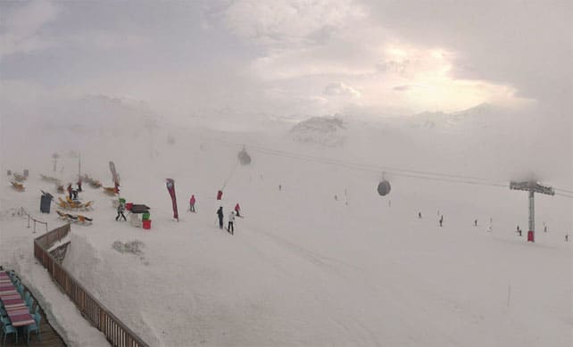
In the west, a sequence of three storms between February 28 and March 7 brought the snowiest spell of weather we’re likely to see this season. Well over a metre of new snow piled up in many French resorts as a result.
Now, the action has shifted firmly into the east. In Switzerland, Engelberg, the Jungfrau and Davos have seen significant accumulations of snow today, and it’s been snowing hard in parts of the Austrian Tirol too – in St Anton, Ischgl, Obergurgl, Mayrhofen and Kuhtai, among others.
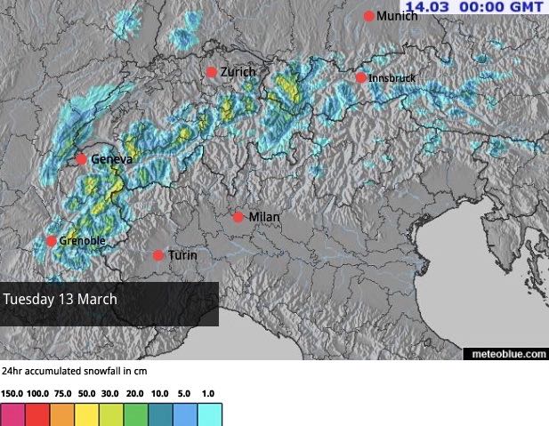
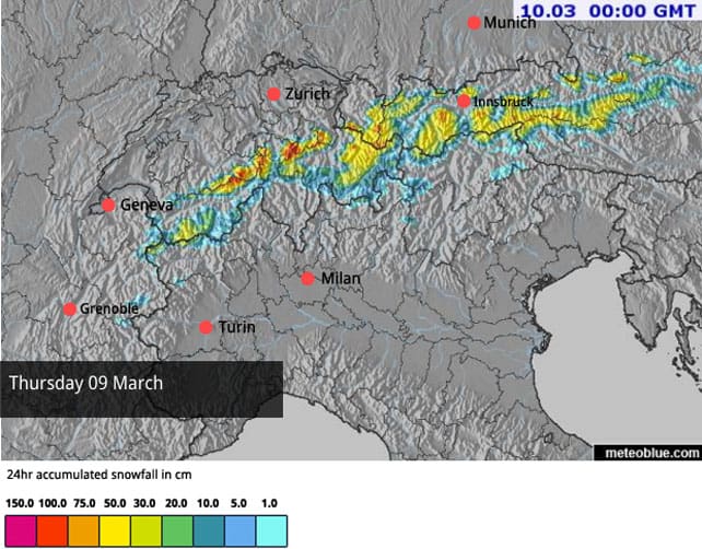
Here’s today’s snow forecast.
At least half a metre of the white stuff is expected in many of the higher resorts, and the avalanche risk has gone through the roof – especially in the Tirol. It’s now at 4/5, which rules out any off-piste skiing (not that visibility would allow it at the moment anyway), and the risk is intensifying. You’d be nuts to ski anywhere but a piste at the moment.
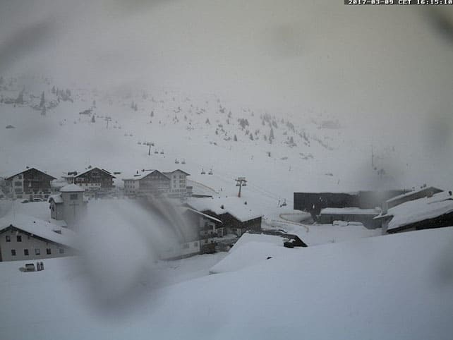
Here’s how it was looking in Lech-Zurs in the Austrian Arlberg this afternoon.
However, temperatures have now risen sharply. The most significant jump is in the west, where the daytime freezing point was at 2600m today and could hit 2900m on Saturday. In Austria, it’s a bit cooler – but it’s been raining hard up to 1800m. As a result, you can add wet-snow avalanches on lower slopes to the current list of off-piste dangers.
In Austria the snow will slowly ease off tomorrow, while magnificent sunshine is the rule everywhere else. Then, on Monday, our snow forecast is predicting a moderate, 20-30cm snowfall in the western Alps.
So where does that leave us? The first thing to say is that across the northern Alps the snowpack has deepened significantly above 1500m in the last week. The high-altitude resorts are in great shape for the back end of the season now. In the southern Alps, the Aosta Valley resorts such as Courmayeur and Champoluc also have deep snow, and even in the Dolomites there’s been a top-up.
The current thaw will be helping the snow to settle and become less avalanche-prone at altitude (although there are a lot of spontaneous slides at lower altitudes). But it does also mean that most slopes will start going through a daily freeze-thaw cycle again. Skiers will have to adopt spring-skiing tactics to get the best from the conditions: or migrate to the highest, shadiest slopes to find more wintry snow.
Here’s a quick squizz at some of the webcams, starting with Courchevel in the Three Valleys. Around 80cm of snow fell here between Sunday and Tuesday, and above 2500m on north-facing slopes the snowpack is two metres deep.
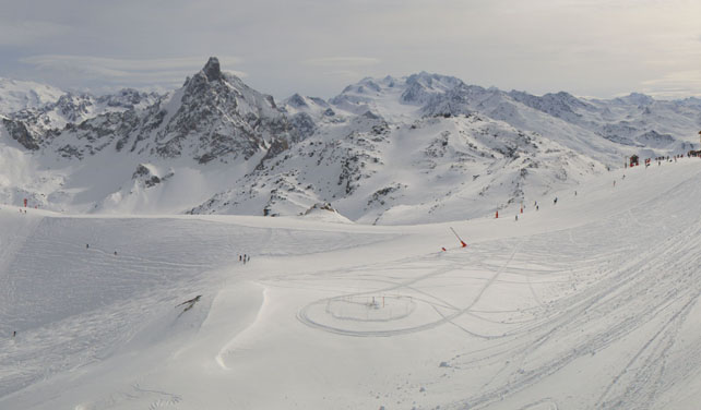
Pictured below is Serre Chevalier, south of Grenoble. There was less snow here than in the resorts of the north, but 30cm fell on Sunday and Monday and the snowpack is 190cm deep at altitude.
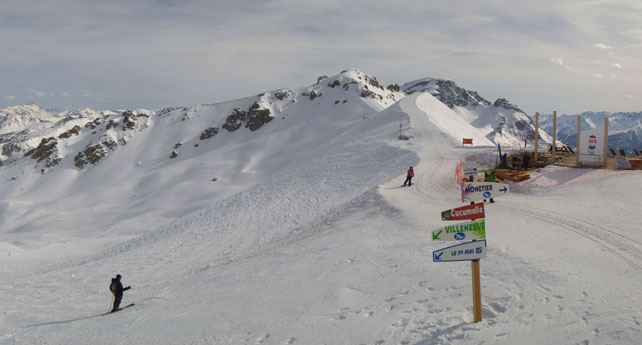
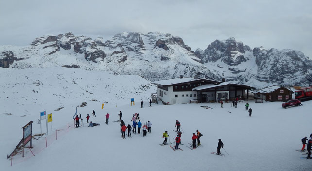
This is Madonna di Campiglio in the Brenta Dolomites in Italy, where the cover is currently 50-120cm deep.
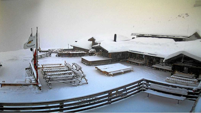
And this was the Jakobshorn in Davos in Switzerland, where the snow was still falling as evening fell.




Add Comment