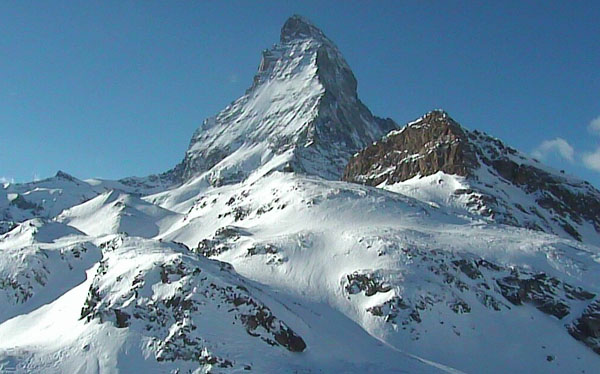
Happy new year, Snowfiends, and welcome to the first snow report of 2013 – which comes to you drenched in January sunshine.
For much of the skiing world, clear skies will be the theme of the next few days. The break in the weather will probably come as a profound relief to the locals: after all, it’s been pretty stormy there since the end of November. Many holidaymakers will lap it up too. Only those who care as much about the quality of the snow as the scenery will be grumbling: because in the western Alps especially, the sunshine will usher in another period of unseasonably high temperatures.
Short-term, there is one exception to this picture: Austria. Some places in the Tirol could see 30-50cm of snow between tomorrow and Sunday. Unfortunately, there’s there’s going to be rain lower down to start with, but later the snowline should drop down to village level. (Which is great news for me, as Welove2ski is headed to Kitzbuhel on Sunday. Thank you, snow gods!)
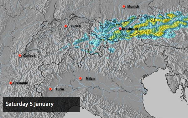
Elsewhere in the Alps, expect dry weather until this time next week, and steadily rising temperatures. In France, the freezing level in France is expected to be 2500m today and up to 3200m on Sunday. In western Austria, it’ll be around 1800m today and 2100m on Sunday.
Snow depths are still very good for the time of year, thanks to the big dumps of early December. But let’s not forget how warm the weather was over Christmas. There was a top-up of 10-15cm of fresh snow on Tuesday in France, Switzerland and eastern Austria, which refreshed the pistes and on sheltered slopes may even have covered the crusty surface, off-piste. But conditions will become more variable again as temperatures rise. Aim high for the best skiing surface, and stick to shady, north-facing slopes (unless they’ve been blasted by the wind).
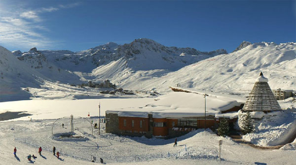
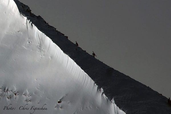
Here’s a brief survey of recent webcams and pictures.
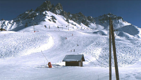
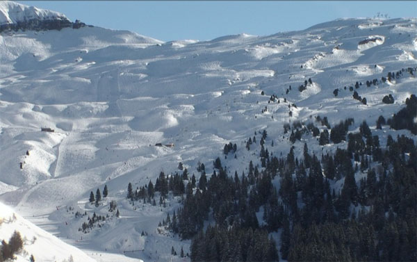
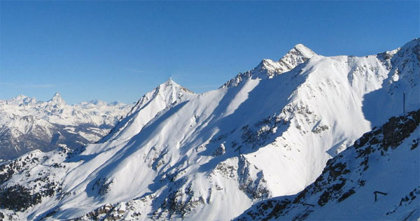
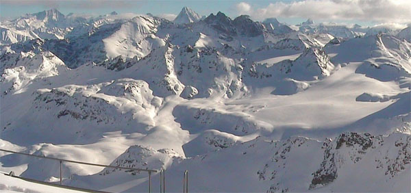
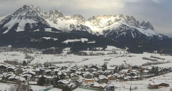
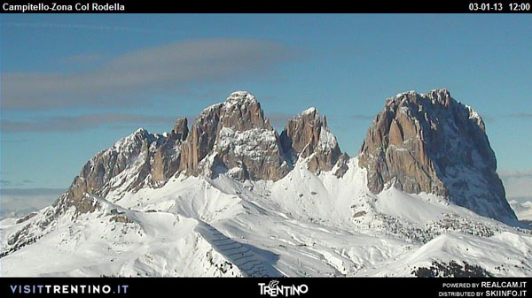
Medium-term in the Alps, it looks as though high pressure will dominate for a week now, before breaking down. After which, there’s a good chance that colder, more humid air will flood across the region again. Fingers crossed we get a sustained period of properly wintry weather after that. It is January, after all…
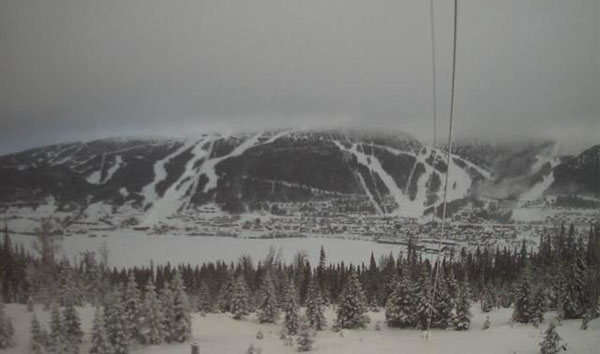
The current thaw has even reached as far as Scandinavia today. In parts of the ski area of Are in Sweden the temperature has rocketed to -1C – the first time for ages that the mercury’s crept above freezing point. Scorchio.
Across the Atlantic, there’s sunshine too, and temperatures are set to rise slightly over the course of the week. Most regions in the west report good or excellent snow cover – except Colorado, where it’s still a little thinner than it should be for the time of year.
| France: See our main report. There was a little snow on Tuesday, but now the French Alps are expecting a week of dry and mild weather, with plenty of sunshine. Snow depths are still very good for the time of year, but increasingly you’ll have to migrate to the highest slopes to find snow unaffected by the thaw. Otherwise, you’ll need to think “spring” rather than “mid-winter”, and wait for the sun to soften slopes each morning before you ski them. Above Tignes, the snow is currently up to 250cm deep; above Val Thorens it’s up to 220cm deep, and above Flaine it’s up to 250cm deep. | |
| Switzerland: Switzerland got a modest top up of snow on Tuesday too, which will have refreshed the pistes. It won’t have done much to recharge the powder fields though – and on lower slopes skiers will be breaking through to the crust left behind by the last thaw. Stay high for the best snow. Currently, Verbier has up to 230cm at the top of its ski area, Andermatt has up to 370cm, and Davos up to 116cm. | |
| Austria: Fingers crossed Austria gets the snow forecast for the next two days! Half a metre of the stuff could fall in places. It’ll be cooler here than in the west, but you should still aim high: the snow will be hard-packed lower down as it was mild here over Christmas week, and the melting snow will have now refrozen. Currently, the Arlberg resort of St Anton reports up to 160cm of snow on its highest slopes, and Lech 195cm. Above Obergurgl there’s up to 210cm of snow. Lower down, in the Skiwelt, there’s 110cm of snow up top and 20cm on the lowest valley runs. | |
| Italy: Generally, there’s been less snow in the Italian Alps than the north this winter, but cover is still pretty deep on the higher slopes. However, the mild weather over Christmas has affected the quality of the skiing surface. Expect hard-packed pistes on the lower slopes before the sunshine softens them. Above the Aosta valley, Cervinia has some of the best cover, and reports settled depths of up to 140cm, mid-mountain. Further east, in the Dolomites, Canazei has up to 125cm of snow on its pistes. Generally, the coming week will be cooler in the east than the west. | |
| Andorra: The Pyrenees have had more than there fair share of the mild weather since mid-December. However, cover is still reasonable, on piste – 30-70cm deep according to altitude and aspect in the Grand Valira. | |
| Western USA: California has some of the deepest cover in the west at the moment – 243cm of settled snow is reported at Kirkwood, for example. In Utah, Snowbird reports 162cm deep, mid-mountain, Jackson Hole in Wyoming 112cm, and Vail, Colorado 56cm. | |
| Western Canada: Whistler is expecting proper snowfall again on Monday. Currently, it has 176cm of settled snow, mid-mountain. Inland, Fernie has a little over two metres of settled snow after a scintillating December run of storms. |







Welove2ski is heading to Kitzbuhel on Sunday – and look what’s in the forecast https://t.co/mQZzuKvO Woof woof!
RT @welove2ski: Welove2ski is heading to Kitzbuhel on Sunday – and look what’s in the forecast https://t.co/mQZzuKvO Woof woof!
Snow Report, January 3 | Welove2ski https://t.co/vi4iECnI
RT @welove2ski: Welove2ski is heading to Kitzbuhel on Sunday – and look what’s in the forecast https://t.co/mQZzuKvO Woof woof!