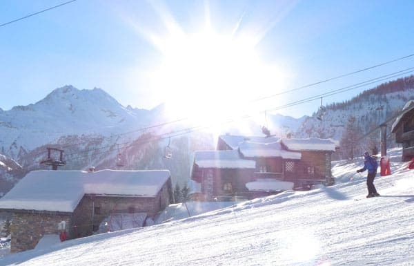
If you’re heading out to the western Alps over the next ten days, don’t forget your sunscreen.
After weeks of tumultuous weather, which started back in late November – conditions will get a lot calmer in the first week of 2013. Admittedly, there’s going to be one more snowy interlude, tomorrow and Wednesday. But after that, the sun’s going to come out again in the French Alps – and stay out, for at least a week. (Meteo Chamonix reckons the settled weather could last till January 10.)
In some ways, it’s a relief. The first half of December were magnificently wintry, but lately temperatures have been yo-yoing about all over the place. We’ve had an ever-changing cycle of thaws, fresh snow, and – at lower altitudes – rain. Sunny weather has been in short supply.
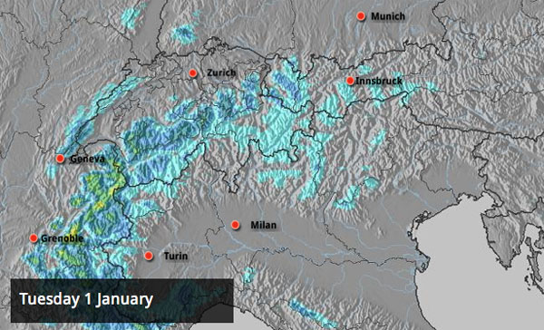
However, the upcoming change is going to draw more mild air across the region, and only on the highest, shadiest slopes will the snow remain unaffected by the thaw. The freezing level might reach 3200m by the weekend.
Further east, it should stay colder – in the Austrian Arlberg, for example, Lech is expecting the freezing point to stay around the 1500-1700m mark. It’s due to snow in central and eastern Austria on Saturday and Sunday too – which is excellent news for me, as I’ll be in Kitzbuhel next week! Wheeeeeeeeeeeeeeeeeee.
Meanwhile, in the Italian Alps there’s going to be a light to moderate snowfall across the Italian Dolomites on Wednesday, and thereafter a sharp divide in temperatures between the west, where it feel springlike, and the east, which will be much cooler.
Snow depths at altitude remain impressive for the time of year: two metres or more is quite normal across the northern Alps. But the quality of the skiing surface is variable, to say the least. At the top of the high-altitude ski areas the snow is still light and powdery – and will be a joy to ski in today’s sunshine. Lower down, the pistes are hard-packed and icy in the mornings. Off-piste, you’ll find it crusty at lower altitudes.
The new snow on Tuesday and Wednesday should temporarily repair the damage on the pistes, but it doesn’t look as though there will be enough to properly bury the hard stuff away from the groomed runs. Aim high to get the best snow.
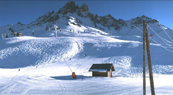
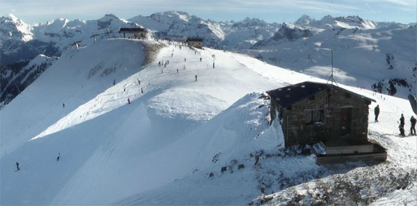
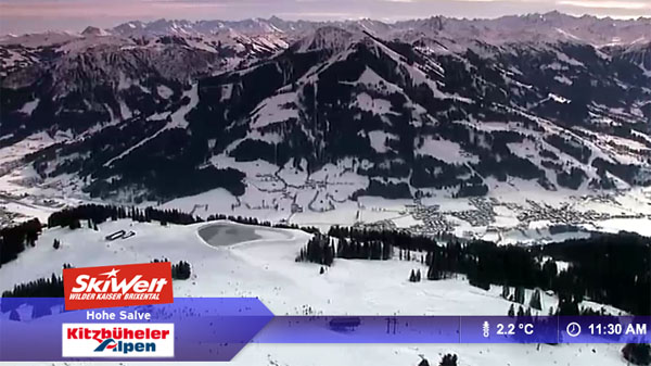
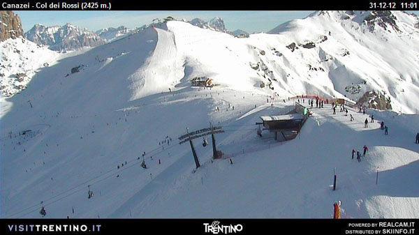
Here’s a brief survey of the webcams today. As you’ll see, it’s sunny almost everywhere.
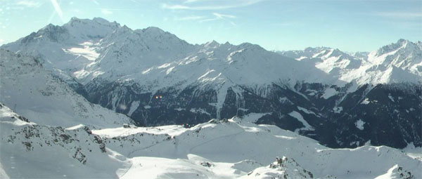
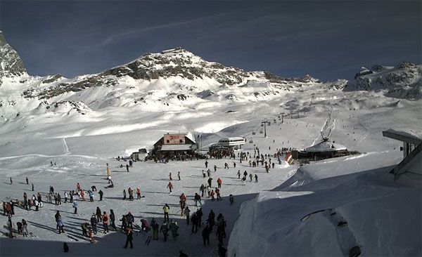
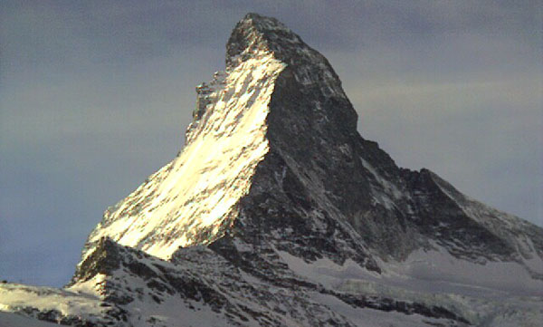
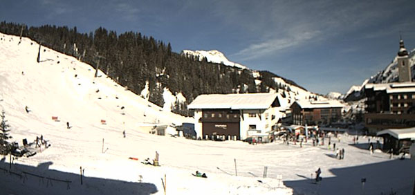
In Scandinavia, there’s been none of the turbulent weather seen in the Alps lately. It’s been properly wintry there for several weeks – and in Are in Sweden there was 30cm of fresh snow at the end of last week. Midday temperature there today is -8C. However, it should warm up there a bit over the next week.
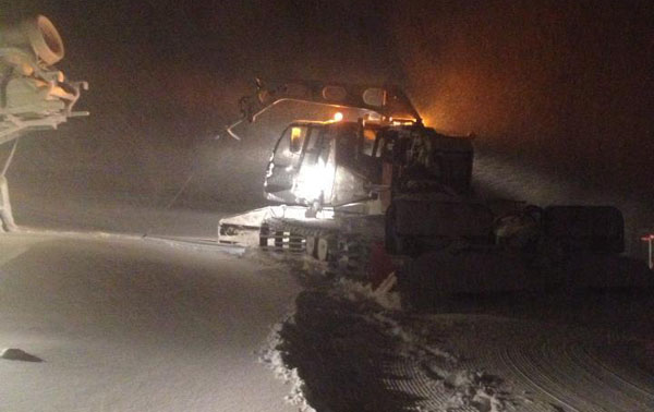
Across the pond it’s going to be a sunny week in the resorts of western Canada and America. It’ll be cold too, to start with – and then progressively milder. In California and Canada there’s no shortage of snow, thanks to a stormy run-up to Christmas (Heavenly in California reports a whopping two metres of snow in the last seven days, and Kirkwood, nearby, 228cm).
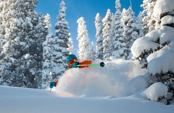
Conditions continue to improve in the American Rockies, too. Snowbird in Utah had a couple of decent dumps last week and reports a mid-mountain snowpack of 172cm. In Colorado. Aspen reported a 30cm dump on December 28, and Vail over half a metre in the last week. Vail’s mid-mountain snowpack is up to 60cm deep, and Aspen’s is up to 99cm deep. Here’s a taste of how conditions were out there last Friday, courtesy of a sweet video from Vail, and a photo from Aspen.
| France: See our main report. The weather should calm down considerably in the French Alps after the next snowy interlude. Thereafter, mild and sunny weather is expected for at least a week. The snowpack is still deep on the higher slopes, but you’ll need to ski the top of your lift system to find really soft powdery snow once this prolonged thaw sets in. Otherwise, you’ll need to think “spring” rather than “mid-winter”, and wait for the sun to soften slopes each morning before you ski them. Above Tignes, the snow is currently up to 250cm deep; above Val Thorens it’s up to 215cm deep, and above Flaine it’s up to 260cm deep. | |
| Switzerland: Western Switzerland will benefit from the same snow expected tomorrow and Wednesday in France. But it will also warm up in the same way afterwards. Further east, the weather should stay colder, and it won’t be as sunny as in the west. Verbier has up to 240cm at the top of its ski area, Andermatt has up to 370cm, and Davos up to 116cm. | |
| Austria: It looks as though Austria will escape the worst of the thaw which will shortly envelop France – though it won’t get much snow from the Tuesday/Wednesday weather front. There should however be more snow in central and eastern Austria at the weekend. Currently, the Arlberg resort of St Anton reports up to 165cm of snow on its highest slopes, and Lech 195cm. Above Obergurgl, where there’s up to 216cm of snow. Lower down, in the Skiwelt, there’s 110cm of snow up top and 50cm on the valley runs. | |
| Italy: Parts of Italian Dolomites got a welcome top-up of snow on December 28, and Canazei reports settled depths of up to 125cm on its pistes. Generally, though, there’s been less snow here than in the northern half of the Alps this season. Further west, Cervinia reports 140cm of snow, mid-mountain. The snow report talks of “hard-packed” conditions on-piste. | |
| Andorra: The Pyrenees are suffering in the thaw – which is a shame given the resorts there got off to such a good start in mid-December. In the Grand Valira ski area depths are down slightly: the cover is currently 20-60cm deep, on-piste. | |
| Western USA: See our main report. California has some of the deepest cover at the moment – 243cm of settled snow is reported at Kirkwood, for example. Conditions are good at Snowbird in Utah too, where the snowpack is 172cm deep, mid-mountain, Jackson Hole in Wyoming 120cm, and Vail, Colorado 60cm. | |
| Western Canada: In Whistler it’s been a quiet week, snow wise, and the mid-mountain snowpack has settled back to 186cm. In Banff National Park Sunshine Village reports a settled snow base of 123cm, and just 8cm of snow this week. |


Looks as though the weather is going to calm down for a while in the Alps – especially in the west. Pack sunscreen! https://t.co/e8iHGijO
RT @welove2ski: Looks as though the weather is going to calm down for a while in the Alps – especially in the west. Pack sunscreen! https://t.co/e8iHGijO
RT @welove2ski: Looks as though the weather is going to calm down for a while in the Alps – especially in the west. Pack sunscreen! https://t.co/e8iHGijO
Here comes the sunshine 🙂 https://t.co/UZYYywab