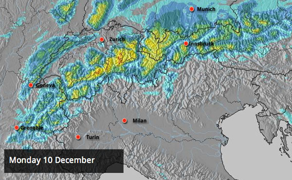
And still it snows…Today it’s the turn of Switzerland and western Austria to get the heaviest falls, as you’ll see from our Alpine snow forecast map, above. In places, 50cm is expected. In the French Alps it should be more like 15-25cm.
As regular followers of our snow report will know this snow is falling on cover that’s already very deep. Meteo France estimates a whopping 150-180cm of new snow last week in the higher French resorts – and says the snowbase is close to record-breaking for the time of year. Meanwhile, in the Tirol, St Anton reports up to 125cm of snow on its upper slopes.
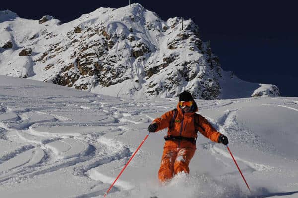
Where it’s undisturbed by the wind the snow is extraordinarily light, dry and fluffy. “Canadian snow” is how Meteo France describes it – although the snow is almost always like this in the Alps too when it blows in from the north. Yesterday, above Courchevel in the Three Valleys, it felt bottomless: definitely not the kind of thing you want to ski on skinny carvers, unless you’re someone like Tom Saxlund of New Generation.
The news is not all good, however. The new snow has been accompanied by high winds and the avalanche risk is high: rising again to 4/5 today in many parts of the French Alps, and 3/5 in most of Switzerland and the Tirol. The risk has kept many pistes closed. Yesterday in Courchevel, the skiing was limited and all links into Meribel were shut: the loud, flat blap of avalanche blasting was a constant refrain. Only the shallowest, safest slopes were skiable off-piste, in the company of a guide.
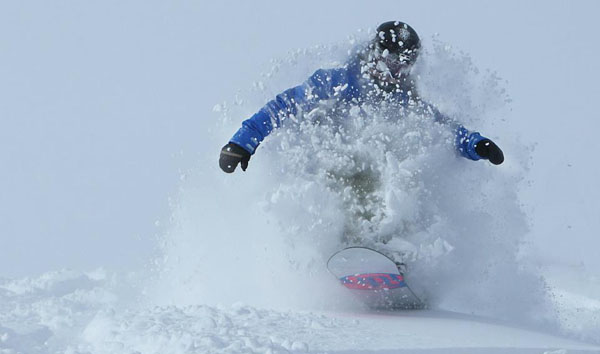
Meanwhile in Verbier, two of our editors, Peter and Felice Hardy got a little taste of Swiss powder courtesy of Warren Smith.
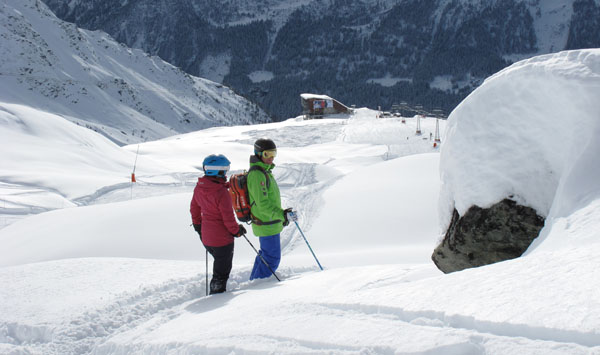
Just how dangerous conditions are at the moment was rammed home by news of an avalanche fatality in Verbier yesterday. Please be careful if you’re venturing out over the next few days: read all avalanche warnings, equip yourself properly, hire a guide, and lower your sights. It’s not yet time for epic powder days.
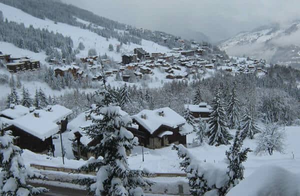
Here’s a quick sample of photos and webcam shots from around the Alps today.
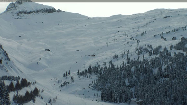
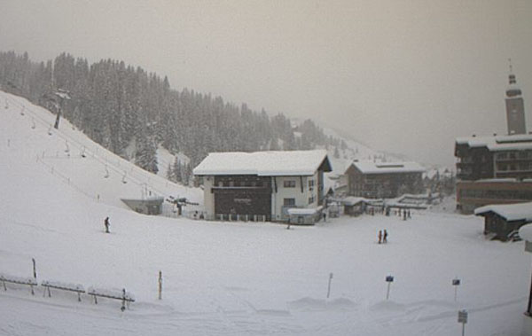
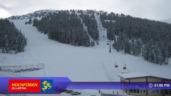
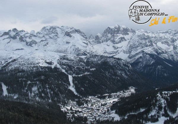
A little more snow is expected from the last of these spectacular weather fronts – and then there will be a temporary change. It looks as though a more westerly airflow will dominate for a while, with snow favouring the Italian resorts. In the western Alps there could be rain below 1500m, which will affect the quality of the snow on the lowest slopes…Thankfully, it should cool down again on Saturday.
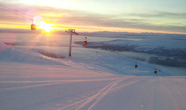
Lately, it’s been wintry in Scandinavia too. Today in Are, Sweden there’s a temperature inversion – it’s -10C up top and -14C by the lake. 12 pistes are now open, although the snow depth is still only 24cm in most places.
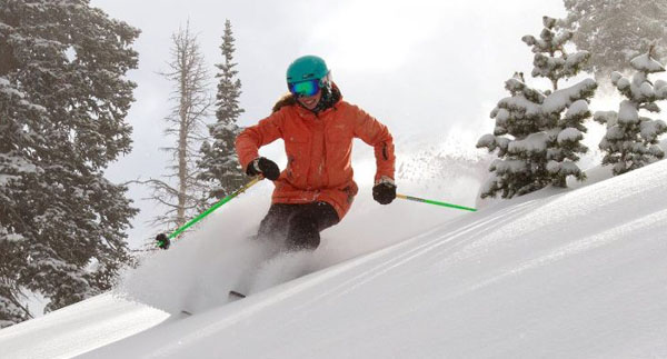
Meanwhile, across the pond, the weather patterns that have dominated the start of the season appear to be changing. The Colorado Rockies have had their first proper snowfall for weeks, and there’s been snow in Utah as well. There should be some more snow across the region – and in the Californian resorts, too – this week.
| France: See main report. Across most of the French Alps, resorts high and low are loaded with light, cold snow. There’s rather too much of it, to be honest – jacking up the avalanche risk and keeping pistes closed. Tomorrow and Wednesday should offer great skiing on the slopes that are open, and then the weather is due to get milder for two or three days. Currently, some of the deepest snow is to be found above Val Thorens, which reports up to 245cm of snow on its pistes and an avie risk of 4/5. Meribel reports 100-200cm of snow on-piste. Val d’Isere has 100-185cm of snow on its pistes. | |
| Switzerland: It’s still snowing hard in parts of Switzerland, and there should be more tomorrow. Above Verbier there’s currently 134cm of snow, mid-mountain. Above Engelberg there’s 168cm of snow mid-mountain, and Andermatt reports 80-280cm of snow on its slopes, depending on altitude. | |
| Austria: Generally Austria hasn’t had quite as much snow this as France or Switzerland, but it will close the gap over the next couple of days, thanks to white stuff now falling – especially in western Austria. Lech currently reports 90-125cm of snow on its slopes. In high-altitude Obergurgl there’s 70-175cm of settled snow. Lower down, in the Skiwelt, the snow is 50-90cm deep. | |
| Italy: Cervinia and the other ski resorts of the Aosta Valley, such as Monterosa, have had a strong start to the season. In Cervinia, the snow is lying 140cm deep at the mid-station. In the Dolomites, there’s 80-15cm of cover above Canazei, and a little fresh snow in Selva just to the north. | |
| Andorra: Andorra’s ski season is on. The Grand Valira and Vallnord ski areas are both now open, and are expecting more snow this week. Currently, Grandvalira reports 30-90cm of snow on 170km of open pistes. | |
| Western USA: See our main report. The Rockies are starting to see snow, and there’s more in the forecast. Inland, some of the best conditions are currently in Jackson Hole, Wyoming, which saw around 20cm of new snow this weekend and has a mid-mountain base of 116cm. In California, temperatures are set to drop sharply in the Lake Tahoe resorts, such as Heavenly, and snow is expected. | |
| Western Canada: Western Canada still has the best conditions across the Atlantic. Whistler has the deepest cover – 152cm, mid-mountain – and the resorts of Banff National Park the most consistent temperatures. In the Canadian Rockies, Sunshine Village has had 54cm of snow in the last week and reports a settled snow base of 120cm. |


There’s snow again in the Alps today. But one of our editors got a little sunshine yesterday in Courchevel… https://t.co/pZsNOyqx