There was moderate to heavy snow across the western half of the Alps on Saturday, with over half a metre falling in some Italian resorts.
Today, more snow is expected in the northwest, although it will be raining up to 1600m in places this afternoon.
Overnight, there’ll be a drop in temperatures and much more widespread snow.
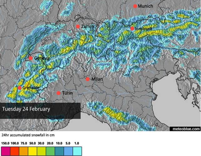
Last week was characterised by brilliant sunshine and mild temperatures. Since Saturday, fresh snowfall has been the dominant theme, and there’s more to come, as you can see from Tuesday’s snow forecast for the Alps, below.
This snow will come on top of the 10-70cm that fell across the western half of the Alps on Saturday. Italian resorts in the Aosta Valley, Lombardy and the western end of Trentino did best from the storm. Cervinia notched up 40cm of fresh snow in the village and 70cm on its upper slopes. Madesimo got hit by half a metre, and beneath the Brenta Dolomites Madonna di Campiglio reports 50cm too.
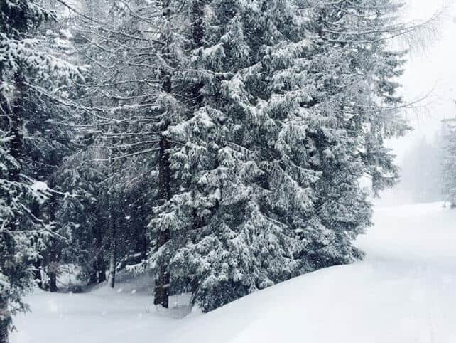
In the French Alps, the snow wasn’t quite so heavy. Serre Chevalier had 35cm, Avoriaz 25cm and Val Thorens 20cm. In Switzerland, Verbier had about 20cm. Further east, in Austria and the eastern core of the Italian Dolomites there was only a dusting of snow.
Today, temperatures have jumped, and when the next weather front arrives later today, it will be raining for a time, up to 1600m. Even above that level the snow’s going to be wet and heavy, and off-piste it’s going to bond poorly with the existing snow cover. As a result, in the Chamonix area, as well as in the Grand Massif and the Portes du Soleil, the avalanche risk will rise to 4/5.
Overnight, temperatures will drop and the snow will become more widespread.
Right across the region, conditions should be excellent, on-piste, when the skies clear on Wednesday – especially on slopes above about 1600m. Off piste, conditions are likely to be treacherous for a time, until the new snow settles, and bonds with the existing snowpack. Powder hounds should exercise great caution – and hire a local guide to help keep them safe.
Looking towards the weekend, it’s not yet certain how the weather will develop. Some forecasts predict another snowy spell, but a greater number see high pressure settling over the region.
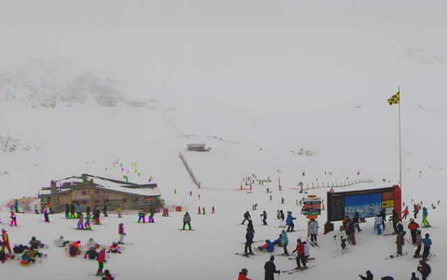
Here’s a brief survey of today’s webcams, starting with Val d’Isere, which got 10cm from Saturday’s snowfall. Here, the snow is 92-157cm deep, and clearly the next weather front has already arrived…
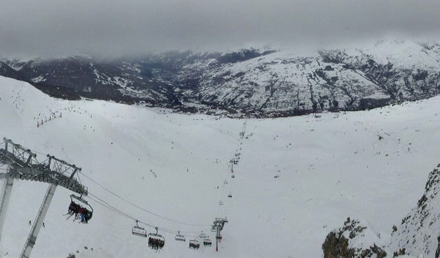
Pictured, below, is Les Arcs, where there’s 90-145cm of settled cover, on-piste. It won’t be long before the more snow starts falling here.
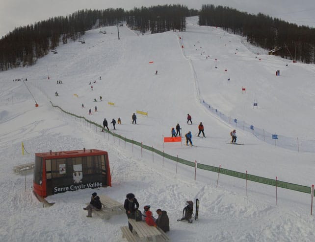
Here’s Serre Chevalier, where the mid-mountain snowpack is 145cm deep.
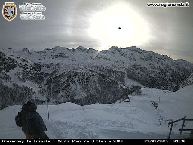
Pictured below is Gressoney, in the Monterosa ski area, which has 105-255cm of cover on-piste.
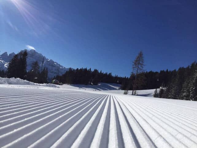
Pictured, below, is this morning’s corduroy in Madonna di Campiglio, where the snow is 90-220cm deep.
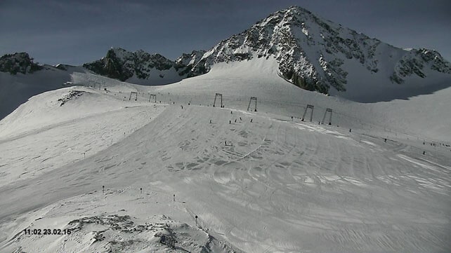
Here’s how it’s looking on the wide-open pistes of the Stubai glacier this morning, where the snow is up to two metres deep.
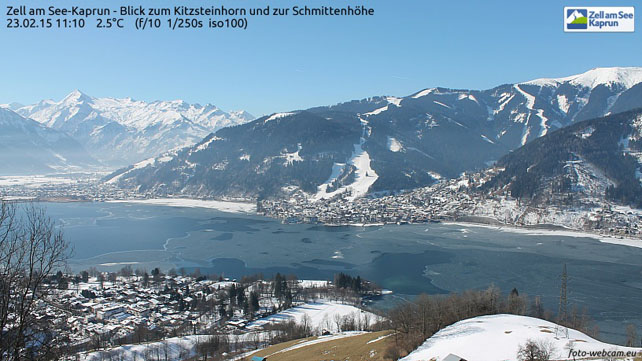
And here’s the morning scene at Zell am See, where there’s up to 103cm of snow on the Schmitten and 260cm on the Kitzsteinhorn glacier in the background.
Life gets snowy again in the American Rockies
The long mild spell in the American Rockies is finally over, and things are looking very interesting right now for the powder-skiing community. In Wyoming, Jackson Hole reported around 15cm of snow at the weekend and is expecting a top temperature in the village of -4C. In Utah, Snowbird clocked up 22cm of fresh snow at the weekend. But both figures are dwarfed by recent accumulations in Colorado. Breckenridge reports 78cm in the past week, and in the south of the state, local snow guru Joel Gratz was predicting 60-90cm of snow by the middle of Tuesday. There’s the chance of further snowfall right through the coming week.
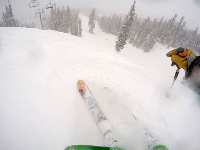
Here’s how it was looking in Breckenridge on Saturday…
Pictured below was the scene yesterday in Telluride.
| France: In the French Alps, there was 10-40cm of snow on Saturday, which favoured the resorts near Geneva and those south of Grenoble. There’s more snow to come over the next 24hrs, too. It’ll start wet and heavy and get colder, drier and lighter as the storm progresses. Check local avalanche reports carefully if you fancy going off piste to ski the new powder. In some areas the prognosis is for treacherous conditions once the new snow has fallen. Currently, Avoriaz reports 170-290cm of cover on its pistes. Meanwhile, in high-altitude Val Thorens there’s 110-165cm packed down on its pistes. | |
| Switzerland: along the Italian border, there was heavy snow on Saturday – notably at the top of the ski area in Zermatt and Saas-Fee, and in the Engadin Valley near St Moritz. Elsewhere it was lighter: 10-20cm was typical. The forecast for the next 24 hours is for heavier and more widespread sno. Currently Verbier has 54-188cm of cover on its pistes, Laax in the east reports snow depths of 40-260cm, and St Moritz in the south has 61-141cm. | |
| Austria: Austria missed out on most of the weekend snow, but still has decent cover in its resorts, thanks to the snowy spell in late January and early February. However, the lower pistes need a top up after the mild spell last week, and hopefully it’s coming in the next 24 hours. Currently, in the Arlberg, Lech reports cover 80-150cm deep, and in the northern Tirol the Skiwelt has 50-70cm on its pistes. Meanwhile, in the east, Schladming reports 80-140cm of cover, on-piste. | |
| Italy: once again, there was heavy snow across the western half of the Italian Alps at the weekend: the third significant dump since February 5. This is where you’ll find the best snow in the Alps today – in resorts such as Madesimo, Champoluc and Courmayeur. Currently, a href=”https://welove2ski.com/cervinia” target=”_blank”>Cervinia has 60-310cm of cover, on piste. Meanwhile, in the Dolomites, Canazei reports on-piste cover 20-115cm deep. | |
| Andorra: there was fresh snow at the weekend in Andorra, and there’s likely to be plenty more over the next three days. Currently, the Grandvalira ski area reports cover 100-200cm deep, on-piste, depending on altitude. | |
| Western USA: the weather’s getting interesting again in the Rockies. Some resorts have already been walloped, and there’s lots more snowfall expected over the next five or six days. Currently, Jackson Hole in Wyoming reports 200cm of settled snow, mid-mountain. In Utah, Snowbird in Utah has 188cm of mid-mountain cover, and in Vail, the settled snowpack is up to 130cm deep, mid-mountain. | |
| Western Canada: in western Canada, the tide’s turned too. Temperatures are dropping, and there’s snow in the forecast. At Lake Louise in Banff National Park, it will be -1C today on the lower slopes, and -12C by Saturday. Currently, the mid-mountain snowpack is 128cm deep. Meanwhile, in Whistler there’s 144cm of snow packed down, mid-mountain, and the freezing point is expected to drop from 3100m today to around 1500m mid-week. That’s not exactly frigid, abut a distinct improvement on recent weeks. Compare and contrast with Tremblant in Quebec: top temperature today will be -24C. Eeek! |




Add Comment