The weather in the Alps has been magnificent this week, although temperatures are rising and the snow is suffering on south-facing slopes.
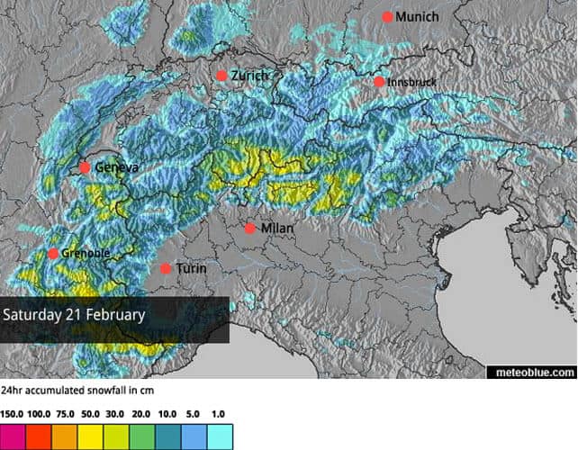
Change is coming this weekend: moderate-to-heavy snowfall is expected across the western and southern Alps on Saturday, with more to follow on Tuesday.
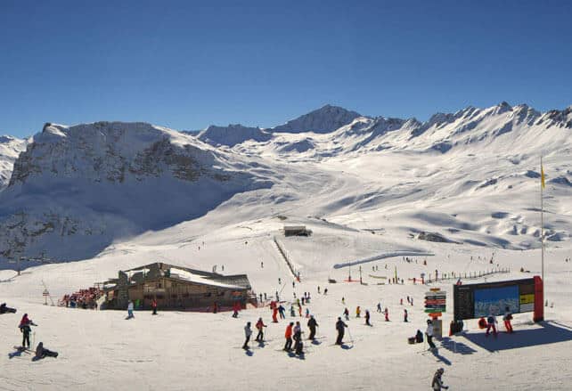
What a day! Check out this sample of webcam shots today in the Alps to see just how mind-bogglingly beautiful it is – starting with Val d’Isere, in France. Here the snow on the pistes is 85-150cm deep, depending on aspect and altitude, and the temperature at 2000m is +2C.
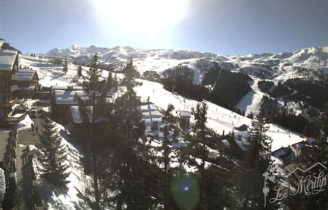
Meanwhile this is Meribel, in the Three Valleys, where the snow is 65-125cm deep, and top temperature at resort level (1450m) should hit +5C this afternoon.
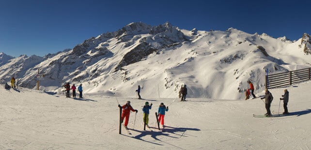
Pictured below is Serre Chevalier, south-east of Grenoble, where the temperature should hit +8C at 1400m this afternoon, and 0C at 2100m
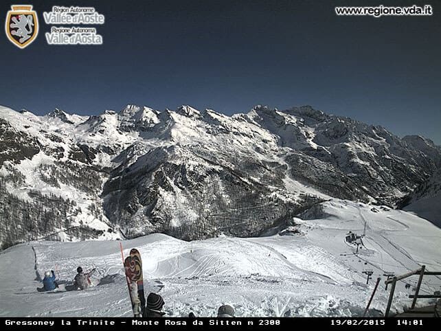
Pictured below is Gressoney, in Italy’s Monterosa ski area, where there was heavy snow at the weekend. Currently, the cover is 80-230cm deep here.
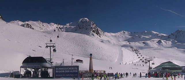
Pictured below is high-altitude Obergurgl in Austria, where the snow is 68-218cm deep, and the temperature at resort level is at +2C.
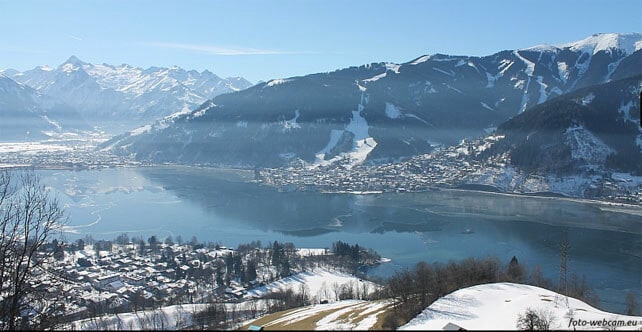
Finally, this is Zell am See, south of Salzburg, where the snow is up to 102cm deep on the Schmitten, above town, and 270cm deep on the Kitzsteinhorn glacier. This afternoon, by the lake, the temperature should hit +8C.
As regular followers of our snow reports will know, the cover is good across most of the Alps, following a run of snowy weather between mid-January and early February (see Monday’s snow report for a recap of who had what, and when). However the sunny weather and rising temperatures have had an impact on the quality of the snow. On piste, sunny slopes are getting slushy by mid-afternoon, and then refreezing overnight, so they’re pretty hard first thing in the morning. Off-piste, a melt-freeze crust is forming on south-facing slopes up to mid-mountain level.
Up high, on shady slopes, there’s still plenty of cold, wintry snow to be found, but off-piste it is wind-affected. You’ll need a local guide to lead you to powder.
Still, I don’t imagine you’ve heard too many families complaining about the lack of powder this week. If you’re skiing on-piste with children, conditions like this are almost perfect.
But the weather will change on Saturday
Change is also in the air in the western US and Canada
It looks as though the long-established pattern of mostly mild, mostly dry weather is breaking down in the western US and Canada. There was snow at the beginning of the week in Colorado, which favoured resorts east of the Continental Divide. Breckenridge was one of the chief beneficiaries, notching up 35cm on Monday and Tuesday. Check out the video…
According to local snow guru Joel Gratz, more snow is expected at the weekend in Colorado: up to 50cm in the eastern resorts, and up to 25cm in the central and northern ski areas. Western Canada and the northern American Rockies should see snow from the same weather system too. Better still, Gratz is expecting a decisive shift away from the mild weather at the end of February.
Meanwhile, in the New England resorts, the weather’s been bitterly cold and snowy for weeks. That’s no surprise, given the 8ft of snow currently piled up on many roofs in Boston…
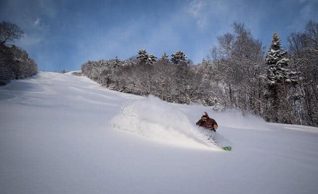
Here’s how it was looking at Waterville Valley Resort in New Hampshire this morning, with 20cm of fresh snow on the trails. The weekly total of fresh snow is 57cm, and top temperature today will be -5C.
| France: across most of the French Alps there was light snowfall on Saturday: 2-5cm was typical of the amount that fell. Since then, the weather’s been glorious. It was like that for most of last week too, so it’s a good thing fresh snow if forecast for February 21 and 24. The slopes will need a top-up, both on-piste and off, especially on south-facing slopes. Currently,Avoriaz has some of the deepest snow in the French Alps, and reports 150-270cm of cover. Meanwhile, in high-altitude Val Thorens there’s 100-155cm packed down on its pistes. | |
| Switzerland: a few resorts near the Italian border, such as Zermatt and Saas-Fee, had decent snow at the weekend, but generally there was only a dusting. Since then, it’s been spectacularly sunny, and increasingly mild. Expect hard-packed pistes first thing in the morning on the lower slopes as a result. As is the case across the region, the avalanche risk has lowered, as the snow has settled in the sunshine. Currently Verbier has 34-170cm of cover on its pistes, Laax in the east reports snow depths of 40-260cm, and St Moritz in the south has 51-132cm. | |
| Austria: Austria missed out on the weekend snow, but still has decent cover, top-to-bottom, in its resorts, thanks to the snowy spell in late January and early February. However, the lower pistes are suffering a bit in the warm afternoon sunshine. Expect hard-packed valley runs first thing in the morning. Currently, the forecast is for light snowfall at the weekend, although there should be more on Tuesday. Currently, in the Arlberg, Lech reports cover 85-150cm deep, and in the northern Tirol the Skiwelt has 50-80cm on its pistes. Meanwhile, in the east, Schladming reports 80-140cm of cover, on-piste. | |
| Italy: there was heavy snow across the western half of the Italian Alps at the weekend, to add to the dump of February 5 and 6. This is where you’ll find the best snow in the Alps right now – in resorts such as Madesimo, Champoluc and Courmayeur. However, the strong sunshine and mild temperatures has affected the quality on south-facing slopes and valley runs. Currently, a href=”https://welove2ski.com/cervinia” target=”_blank”>Cervinia has 60-295cm of cover, on piste. Meanwhile, in the Dolomites, Canazei reports on-piste cover 20-115cm deep. | |
| Andorra: Snow last fell in Andorra on Monday – when the Grandvalira ski area picked up an extra 11cm. The sun has been out since then, and the cover is 100-170cm deep, depending on altitude. Top temperature on the slopes today should be -1C. | |
| Western USA: It’s another mild day in the American Rockies, although snow is in the forecast for the weekend. Currently, Jackson Hole in Wyoming reports 187cm of settled snow, mid-mountain. In Utah, Snowbird in Utah has 165cm of mid-mountain cover, and in Vail, the settled snowpack is up to 117cm deep, mid-mountain. | |
| Western Canada: in common with the western USA, western Canada has had a prolonged mild spell, but temperatures are dropping back slightly now. Whistler is expecting a little snow overnight, and then a sunny weekend. Currently, it has 144cm of settled snow, mid-mountain. Inland, Lake Louise in Banff National Park reports 6cm of new snow in the last seven days, and a high of 0C. The settled mid-mountain cover is 125cm. In the east, Tremblant in Quebec is expecting a high today of -8C, and reports 3cm of fresh snow. |




Add Comment