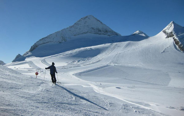
November 2017 is off to a flying start. The Alps have just been hit by a storm which has dropped a metre of snow in places.
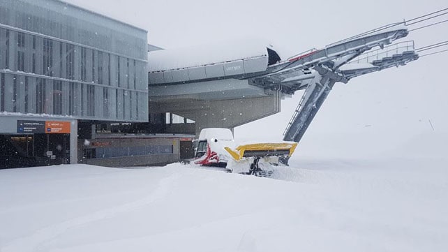
The 100cm of fresh snow recorded on the Stubai glacier near Innsbruck is the biggest total we’ve seen so far – and generally the Austrian end of the central Alpine ridge has had the best of it. This morning, the Hintertux reported 80cm of the white stuff from the storm, and Obergurgl 65cm.
Here’s how the Stubai looked earlier today.
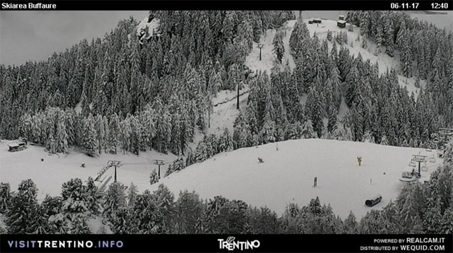
There’s been heavy snow on the Italian side of the ridge, too. Pictured below was the Buffaure ski area – near Canazei in the Italian Dolomites – early this afternoon.
It’s been snowing in the west too, though in not quite the same quantities. In Courchevel, for example, they reported 15cm at resort level this morning.
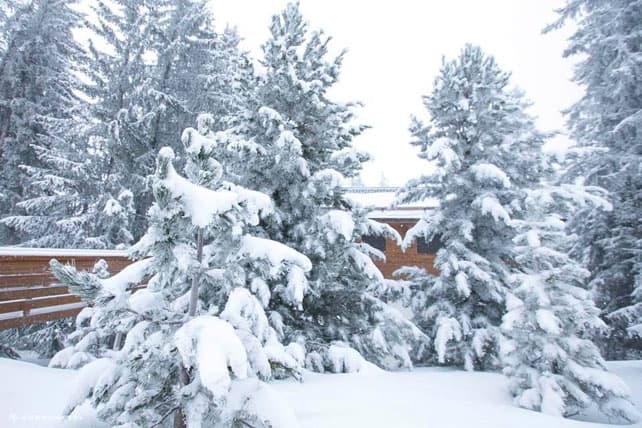
Here’s how it looked in Val d’Isere earlier today.
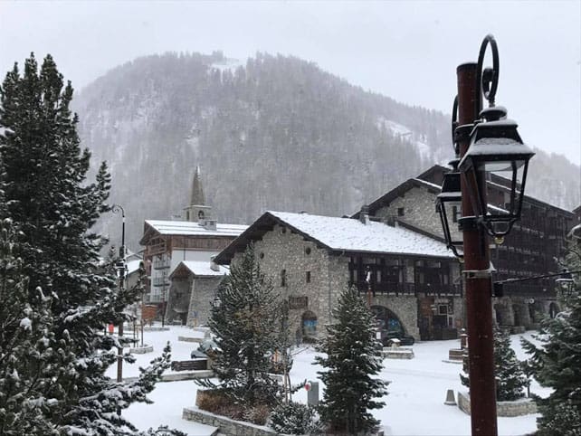
Just as important as the size of this dump is the fact that the rest of the week is looking chilly. There’s snow in every one of our forecasts for the next four days; and after a short-lived jump tomorrow, the daytime freezing point is going to stay below the 1500m mark.
What’s more, the mid-range forecast is predicting more snow at the weekend and on Monday. Here’s the ECMWF chart for November 13, courtesy of meteociel.fr.
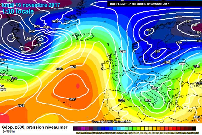
Should we be getting excited? Not yet. Remember the big, early storm of November 2016? That turned into yet another dry, mild start to winter in many resorts. We’ve got nearly three weeks till the start of the mainstream ski season, and seven weeks till Christmas, and as we all know the Alpine climate can flip from cold to mild at the flick of a switch. Note, for example, all that warm hanging about over the mid-Atlantic, in the ECMWF chart above. It won’t take much to nudge it back over western Europe.
So don’t go counting those chickens just yet. Dust off the skis by all means, but wait to see if this cold spell settles in, and more storms come barrelling down from the north. If they do, an early-season dash to the Alps will be well worth considering. Provided, of course, you target a high-altitude resort.
In the meantime, the new snow will do wonders for the glacier ski areas. Currently, you can ski on the Hintertux, the Stubai, Pitztal, Kaunertal, Rettenbach, Motttal, and Kitzsteinhorn glaciers, as well as those above Saas-Fee, Zermatt, and Les Diablerets in Switzerland. In Italy skiing’s on offer in the Schnalstal and Cervinia and you can also ski above Tignes in France.
PRAY FOR SNOW.


Add Comment