


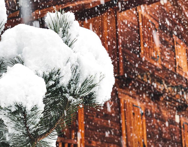
After a month of unusually sustained early-season snowfall (and rain at lower altitudes) the weather has suddenly gone quiet.
There’s almost no precipitation in the forecast now until the weekend, and nothing serious expected till Monday, December 9. In any normal start to winter that would by par for the course. But after November 2019 it seems peculiar.
Still, the locals will be gagging for some sunshine, even if it is accompanied by a marked rise in temperature.
Today, in France, the freezing point was down around the 1000m mark, as skies cleared after the final snowstorm. On Wednesday, as warm air floods in from the south-east, it will jump to 2600m, and to 2800m on Thursday. So you can expect the snow on sunny, south-facing slopes to get a little wet and heavy during the day and refreeze at night – except in highest ski resorts.
In other words, anyone who was skiing today will have had the best of the snow. Conditions are likely to become more mixed, with hard-packed pistes in places, some crusty off-piste, as well as softer snow (and powder, off-piste) on high-alititude and deeply-shaded slopes.
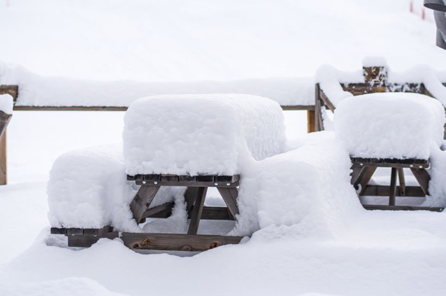
That said, it’s worth reiterating how widespread the white stuff is across the region, given the time of year. It’s only the lowest resorts that have really suffered from the effect of rain.
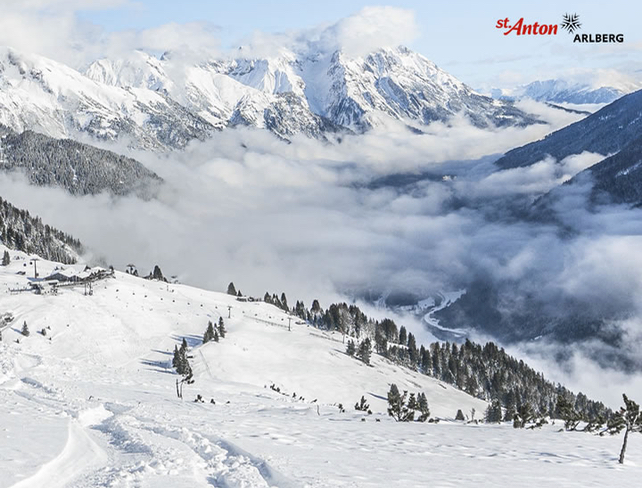
Here’s how St Anton in the Austrian Tirol looked earlier today. It opened for the season on Friday.
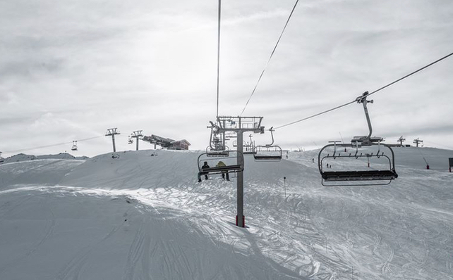
And this was Val d’Isere in France on its opening day on Saturday.
Generally, snow depths are good for the time of year – and exceptional in those resorts that were walloped by some of the big storms that rolled along the main Alpine ridge last month.
On the Stubai glacier near Innsbruck, for example, the snow is up to 290cm deep, on piste. In Obergurgl it’s 100-185cm deep. Meanwhile, in Cervinia in Italy it’s 80-300cm deep, and in Val d’Isère it ranges from 71-165cm deep.
Currently, the ski area shared by Zermatt and Cervinia offers the largest spread of skiable pistes in the Alps.
Several more big-name resorts are due to open over the next week, including Courchevel, Meribel and Les Menuires in the Three Valleys, Mayrhofen in Austria and key parts of the Dolomiti Superski region, including the Sella Ronda in the Italian Dolomites.
Meanwhile, in the southern French Alps, Serre Chevalier isn’t expecting to open till December 14, but is in great shape thanks to the heavy snow that fell in this part of the Alps on Sunday. Snow depths there are now 50-200cm deep.
Fingers crossed the wintry weather returns next week, as forecast…


Add Comment