In the Alps there’s been heavy snow at altitude, and heavy rain at village level in many resorts. There’s more snow to come – and it looks as though temperatures will drop mid-week, too.
Meanwhile, across the Atlantic, western Canada has seen more snow.
The first week of the Easter skiing holidays is off to stormy start – with high winds today across the northern Alps, and heavy snow at altitude.
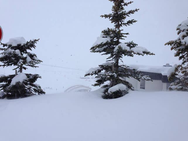
Here’s how it’s looking in the Bellevarde sector of Val d’Isere in France today.
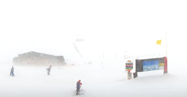
Here’s the scene in Val Thorens in the Three Valleys, which reported half a metre of snow from the storm overnight.
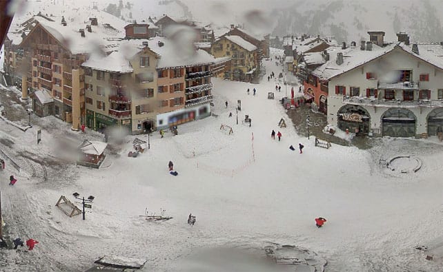
Below is Arc 1950 in Les Arcs, where 40cm of new snow had fallen at altitude by mid-morning.
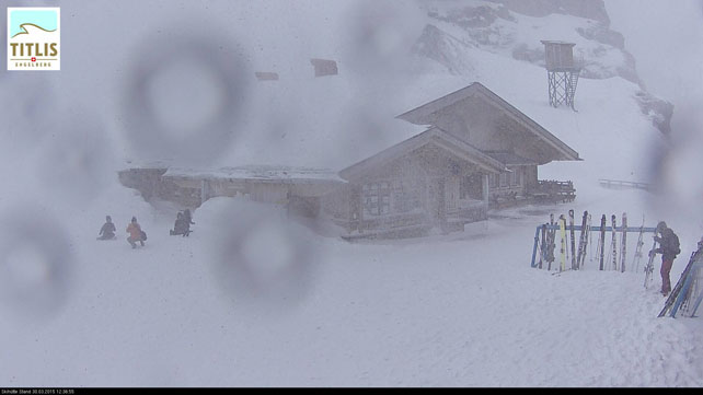
Pictured below is the scene at the Stand ski hut, above Engelberg in Switzerland.
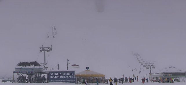
Below is how it’s looking in Obergurgl, in Austria. Only 8cm of snow fell here overnight, because the storm hit Austria later than France and Switzerland. There’s been plenty more since then, though.
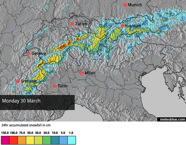
And here’s the snow forecast for the Alps for today, which gives you an idea of how much is expected. The red splodges suggest up to a metre may fall in a few places by the end of the day.
However, it’s important to bear in mind that below about 1900m in France and 1700m in Austria it’s been raining, hard, which is taking a lot of the shine off the news of snow higher up. Meanwhile, at altitude, the high winds are also creating a considerable avalanche risk. Coupled with the low visibility this is definitely a day on which off-pisters should play it safe.
What happens next is by no means certain. There’s going to be a battle for dominance between low pressure over eastern Europe and high pressure in the Bay of Biscay, and small adjustments in their positions will have a big impact on the Alpine weather. For the moment, it looks as though Switzerland and Austria will stay snowy for much of the week, as well as being cooler. Conditions could be similar in the French Alps – although drier and milder weather is also a possibility.
Here’s how the forecast is looking for Thursday – though you can expect it to change, at least in the detail, over the next couple of days.
For the time being, however, the message is clear. Whenever the skies clear, get to the top of your lift system to find the best conditions, and don’t go anywhere off-piste without a guide. What’s more, despite the extraordinary amounts of snow in the forecast, anyone considering a last-minute escape next week needs to factor a lot of altitude into their plans, even if they’re heading to Austria (which could stay wintry until early next week). At this time of year, whenever the sun comes out, the lower slopes warm up quickly.
Meanwhile, across the Atlantic…
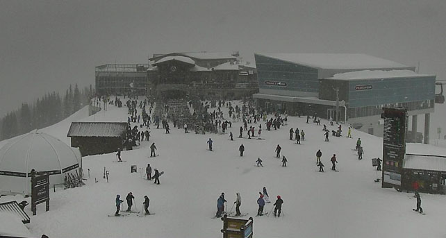
The weather in western Canada is trying to make up for lost time. It’s a bit late, to be honest, after a generally poor season, but Easter skiers will be delighted by the snowy trend of the last few days – and by the prospect of lower temperatures, too. Whistler, for example, reported 9cm of fresh snow yesterday morning on its upper slopes, and 30cm in the last week. More snow has fallen since then, as you can see from this webcam shot from yesterday lunchtime.
| France: the French Alps have been engulfed by a powerful storm which has dumped a lot of snow at altitude, and a lot of rain at village level. Temperatures will drop back tomorrow, and the snow will start to settle down to 1500m. That snowy pattern could continue into the second half of the week – although there is an alternative scenario suggested by some weather forecasts, which is for drier, warmer weather.
It’s likely the rain will wash away the remaining cover on many valley runs, so the only advice now is to aim high if you’re planning a late-season trip. Currently Val Thorens in the Three Valleys reports 145-240cm of settled snow on its pistes. Val d’Isere reports 115-185cm, and in the Chamonix Valley, the Grands Montets sector currently has 160-222cm of settled cover. |
|
| Switzerland: conditions in Switzerland are very similar to those in France: there’s heavy snow at altitude, and heavy rain lower down. The outlook is promising for the powder pigs. Temperatures should drop and there’s likely to be more snow as well. Currently Verbier in the west reports a mid-mountain snow depth of 166cm, while St Moritz in the south has 31-141cm of cover across its pistes. | |
| Austria: the storm hit Austria a little later than France, and it’s a little cooler here too. However the effect is pretty much the same. There’s heavy snow at altitude, and rain lower down, and that will make the contrast between conditions in the high and low resorts even sharper than normal. Fortunately, there will be a colder spell in the second half of the week. Currently, in the Arlberg, St Anton has 35-330cm of cover, on piste, and on the Hintertux glacier it’s up to 270cm deep deep. Meanwhile, further east, the Kitzsteinhorn glacier reports up to 320cm of settled snow, on-piste. | |
| Italy: there was widespread snow across the Italian Alps last week, but most resorts are missing out on the big dump at altitude today. In fact, it’s not likely to snow much here over the next five days – except in those resorts which are close to the French and Swiss frontiers. Above the Aosta valley, Cervinia currently has cover 40-300cm of cover, on-piste. Meanwhile, in the east Canazei in the Dolomites reports 40-120cm of settled snow on its slopes. | |
| Andorra: it’s a mild and cloudy day in the Pyrenees. In the Grandvalira ski area, for example, top temperature is likely to hit +11C, despite the lack of sunshine. Currently, the snow is 130-190cm deep on the pistes. | |
| Western USA: it was a warm weekend in many American resorts, and there are two more warm days to come. In Jackson Hole, Wyoming, for example, top temperature in the village should hit +14C on Tuesday, and isolated thunderstorms are on the cards. It’ll then cool down sharply with the chance of fresh snow – just in time for the resort’s closing weekend. Currently, the mid-mountain snowpack there is 162cm deep. Meanwhile in Vail, Colorado, top temperature is likely to hit +12C on Tuesday, before the cooler weather comes. The mid-mountain snowpack is 122cm deep. In Utah, Snowbird has 185cm of settled mid-mountain snow, and should see a high of +8C on Tuesday. | |
| Western Canada: Whistler’s Easter is looking promising, with cooler weather in the forecast, along with moderate-to-heavy snowfall. The mid-mountain snowpack there is 177cm deep. Inland, in Banff National Park, Lake Louise reports 17cm of new snow in the last week, and a mid-mountain snowpack of 131cm. It’s been mild there, too. Yesterday’s high was +6C. However, it will cool down on Wednesday. |





Add Comment