


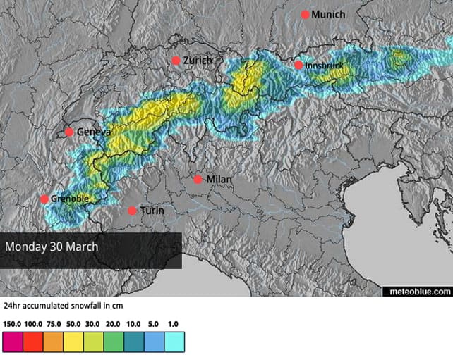
There’s been heavy snow across the southern half of the Alps, with over half a metre falling in a few lucky spots. Austria and eastern Switzerland should get a top-up tomorrow.
There’s a chance of more snow above the 2000m mark across much of the region at the start of next week.
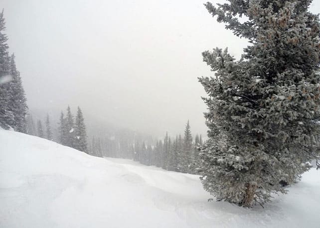
Meanwhile, across the Atlantic, fresh snow will be followed by rising temperatures in the Rockies and Pacific Northwest.
We’re in the middle of a busy spell of weather in the Alps, with heavy snow in places, more in the forecast, and a short cold snap to come in the middle of it all.
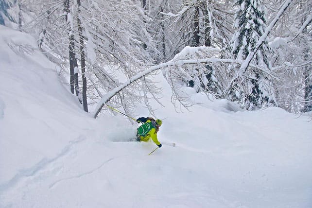
Before you get too euphoric however, bear in mind the background picture. We’re nearing the end of March. The sun is gaining strength, and whenever it shines it has an impact on the snow at all but the highest altitudes. If you want to ski soft, cold wintry snow, you have to stick to the highest, shadiest slopes – or attack freshly-fallen snow immediately, before it starts to warm up. (Although you’ll have to pay close attention to local avalanche forecasts before you try anything off-piste. It’s best to hire a guide to keep you safe.)
Still, the new snow is very welcome. Pila reported 10-20cm from the recent storm, and in the Monterosa ski area, there was up to 50cm. It’s still snowing further east in the Dolomites and the Osttirol in Austria. Parts of the Val di Fassa (home to Canazei and Moena) have had 30cm, and a few places in the Osttirol have had half a metre.
In the northern half of the Alps, there’s been snow in resorts close to the Italian border – 5cm on the Grande Motte glacier above Tignes, up to 10cm in Switzerland, and up to 15cm above Obergurgl in the Tirol in Austria.
However, it’s worth noting that in both France and Austria the avalanche-forecasting services are talking about a humid, and spring-like snow pack today, except at high altitudes.
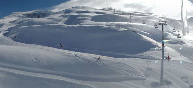
Here’s a quick squizz at the morning webcams, starting with the Pisaillas sector at the eastern end of Val d’Isere, where there was fresh snow on Tuesday night and Wednesday – almost (but not quite) enough to fill in the tracks off piste. Overall, the snowpack here is 92-160cm deep, on-piste.
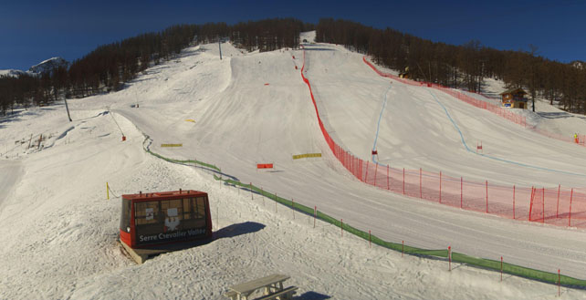
Meanwhile, pictured below is Serre Chevalier, south-east of Grenoble, which had 10cm of fresh snow at altitude yesterday. It’ll get very warm here in the afternoon, with mid-mountain temperatures of +9C in the sunshine. The snowpack is 15-140cm deep, on-piste.
Pictured below is the north face of the Mont Fort in Verbier, Switzerland, which had around 5cm of snow yesterday. The lowest pistes here are now closed because of lack of snow, but up high there’s two metres bedded down on-piste.
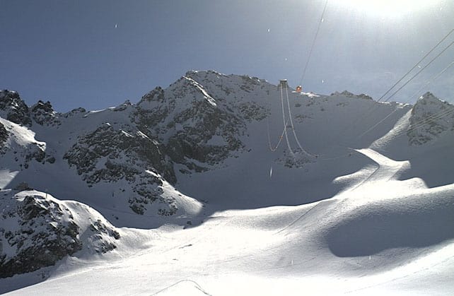
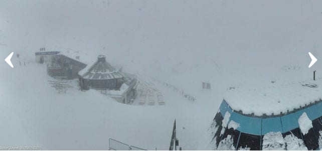
Pictured below is the Stubai glacier south of Innsbruck, where it was still snowing earlier this morning. Now it’s just foggy. The snow here is up to 210cm deep on the glacier. It’ll be a great place to ski once the skies clear.
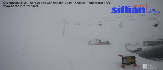
Pictured below is Sillian in the Osttirol where there’s currently 15-50cm of cover on-piste, and fresh snow this morning.
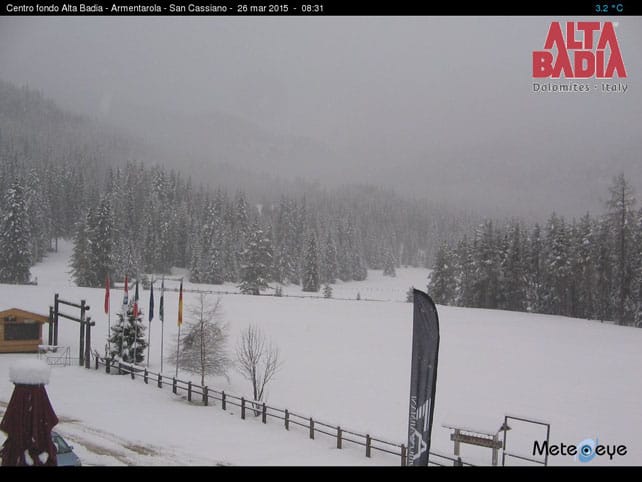
Meanwhile, picture below is the scene near San Cassiano, in the Italian Dolomites, where it was snowing first thing. The cover is between 10 and 90cm deep, on-piste.
What’s coming next?
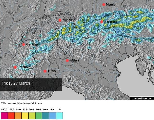
Tomorrow the action is due to shift north, to Austria and eastern Switzerland, with light to moderate falls expected to coincide with a short-lived drop in temperature. The white stuff should settle below 1400m for a time as a result. Here’s the current snow forecast for the Alps for Friday.
After that, it looks as though we’ll get a powerful storm from the west at the beginning of next week, which will drop heavy snow above 2000m and rain at lower elevations. After that, the outlook is uncertain, but it could get rather warm in the west. As ever, the best advice is to stay high whenever the skies clear, and get stuck into the new snow quickly, because you never know how long it’ll last. Don’t forget you can also have a lot of fun by adopting spring-skiing tactics at lower altitudes.
Here’s Monday’s snow forecast.
Across the Atlantic, it’s about to warm up again
There’s been a welcome respite from spring in the western US and Canada lately. Whistler, for example, was reporting 12cm of new snow in 48hrs yesterday, and 63cm for the week.
Meanwhile, this was how it was looking in Vail in Colorado yesterday, with 15cm of fresh snow on the pistes.
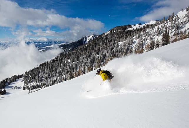
In Wyoming, Jackson Hole, was reporting 30cm of fresh yesterday.
Despite delivering this welcome top-up, winter won’t be sticking around for long. Temperatures are rising again, and spring will be once again making its mark on the snow. There’ll be warm sunshine across much of the American Rockies and some rain in Whistler – although here, temperatures will drop back again at the weekend, and more snow is expected on the top half of the mountain.
| France: there was a light dusting of snow across the French resorts at the weekend, and again yesterday close to the Italian border. But essentially conditions are springlike and the avalanche forecasters of Meteo France report that the snowpack is thinner than it should be for the time of year. The dump that’s expected on Monday and Tuesday next week may change that – above the 2000m mark.
To get the best from current conditions, stay light on your feet, ski any new snow quickly, and take account of the daily cycle of daily melting and overnight refreezing. Oh yes – and hire a guide if you’re going off-piste. You can still have a ball out on the slopes (spring is one of my favourite times to ski): but you can’t carry on like it’s the middle of January. It also helps to aim for slopes with plenty of altitude. Currently Val Thorens in the Three Valleys reports 105-190cm of settled snow on its pistes. Meanwhile, in the Chamonix Valley, the Grands Montets sector currently reports 107-170-cm of settled cover. |
|
| Switzerland: conditions in Switzerland are very similar to those in France: there’s good skiing, on-piste. above 2000m, provided you take account of the sun’s effect on the snow. On lower slopes the cover is very thin – or gone completely. The east of the country should get light, cold snow on Friday. Wetter, heavier snow will fall above 2000m across the whole country on Monday and Tuesday. Currently Laax in the east reports snow depths of 5-300cm, and St Moritz in the south 39-143cm. | |
| Austria: there’s been heavy snow in parts of the Osttirol and more moderate falls elsewhere along the Italian border. That’s good news for the glaciers and high-altitude resorts which are generally found along the southern edge of the country. Currently, in the Arlberg, St Anton currently has 35-290cm of cover, on piste, and on the Hintertux glacier it’s up to 270cm deep deep. Meanwhile, further east, the Kitzsteinhorn glacier reports up to 290cm of settled snow, on-piste. | |
| Italy: there’s been widespread fresh snow across the Italian Alps in the last two days, as you’ll have seen in our main report. Still, you need to aim high for the best conditions. Above the Aosta valley, Cervinia currently has cover 40-275cm of cover, on-piste. Meanwhile, in the east Canazei in the Dolomites reports 40-130cm of settled snow on its slopes. | |
| Andorra: it’s a gorgeous morning after fresh snow in the Grandvalira ski area, which reports settled cover of 140-210cm across the slopes. But here too spring is not far away. | |
| Western USA: see our main report. The American Rockies had fresh snow this week – 15-30cm was usual across Utah, Colorado and Wyoming. However, it will now warm up and conditions will be spring-like at the weekend. Currently, in Vail, Colorado, the mid-mountain cover is 132cm deep. In Utah, Snowbird reports 193cm of settled snow, mid-mountain. Further north, in Jackson Hole, Wyomong, the mid-mountain snowpack is up to 160cm deep. | |
| Western Canada: see our main report. It’s been a snowy week in western Canada, after a disappointing mid-season. In Whistler the mid-mountain snowpack is now up to 188cm deep. Inland, in Banff National Park, Lake Louise reports 15cm in the last week, and a mid-mountain snowpack of 125cm. Further south, Fernie has had 29cm in the last week, and reports a mid-mountain snowpack of 168cm. |


Add Comment