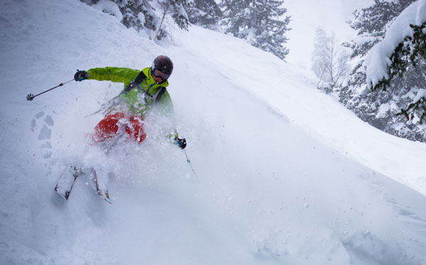
After skiing 40cm of fresh snow in St Anton on Monday night, the guides at Piste to Powder declared that “the reboot of the winter season 2012-13 is done”.
Looking across the Alps this week you can’t help but agree – in the short term at least. The thaw at the end of January – which brought heavy rain to many resorts – is now a fading memory, and has been replaced by increasingly Arctic temperatures and heavy snow. Meteo France’s snow report talks of 50cm of snow in the last three days in the Haute-Tarentaise (home to Val d’Isere and Tignes). In Switzerland, the SLF reports 30-60cm in a broad swathe of resorts in the northern half of the Alps. In Austria, the Tirol’s avalanche service reports 30-55cm over the same period.
Across the Italian Alps, there’s been less snow – but still some regular top-ups in recent days. The latest came yesterday and brought 10-20cm to the Italian Dolomites – including Madonna di Campilgio, where Welove2ski’s Max Hardy and Ben Corby have been bombing about this week, tracking down its most scintillating pistes.
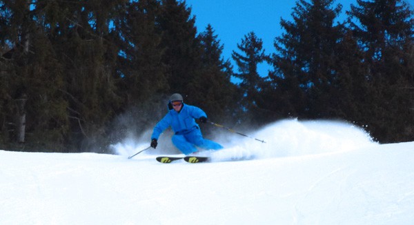
The snow has been accompanied by high winds which have shut higher lifts from time to time, and of course the visibility has been pretty poor. So the actual experience of skiing all this new snow has been mixed. The wind has created avalanche-prone wind slabs on exposed slopes, too – and the avalanche risk is generally 3/5 across the northern Alps. Off-pisters need to be cautious and well-prepared.
But but BUT – whenever the sun’s broken through, skiers have been lapping up the soft, cold snow: grippy on-piste, light and powdery off it.
As our Meribel blogger Alf Alderson reports, “It’s been snowing for almost two days now and there’s stacks powder wherever you look. The only fly in the ointment is the bad visibility but once the sun comes out conditions are going to be sensational.”
Alf will be glad to know that, according to our cloud and precipitation forecast for the Alps, it looks as though there’ll be more sunshine about on Friday and Saturday. Lucky are those with a lift pass and pair of skis at the moment!
Here’s a sample of today’s webcams.
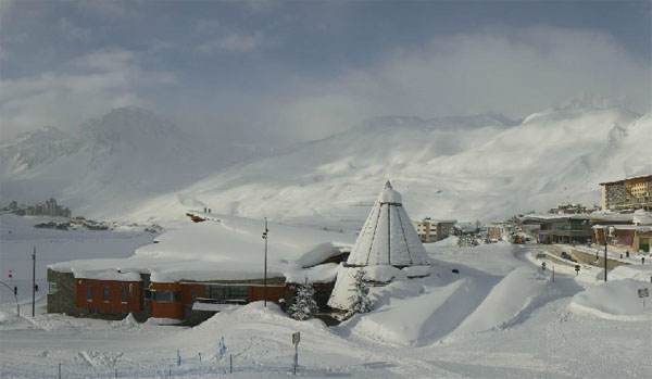
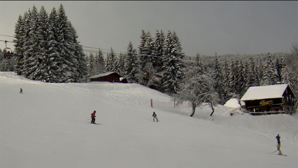
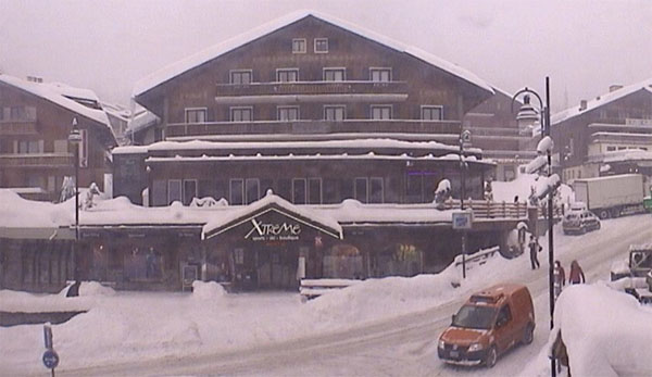
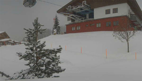
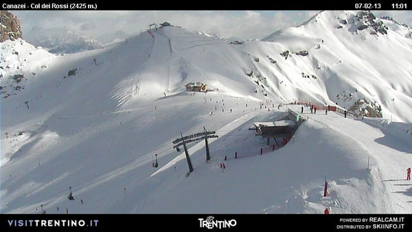
The immediate outlook is promising too. It should stay cold until after the weekend at least, with the odd top-up of snow: and there’s no sign of a thaw in the mid-range forecasts either. That may change of course – we are talking about the Alps, after all. But at the very least you can be sure of delicious soft and grippy snow from the top to bottom of your lift system for the next five or six days. Hallelujah!
More snow in the Pyrenees
The Pyrenees have been sharing the same weather as the Alps. Temperatures are low, and there’s fresh snow. In fact, there’s a blizzard blowing there now, as you’ll see from today’s webcam shot from Soldeu in the Grandvalira.
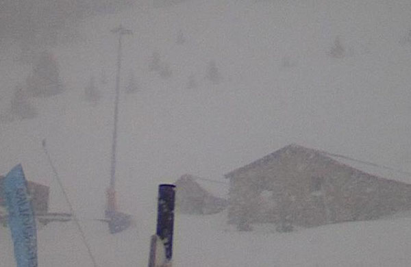
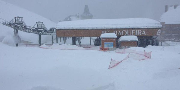
And below is how it’s looking in Baqueira on the Spanish side of the Pyrenees. All lifts are currently shut because of the wind, and there’s up to 370cm of snow at the top of the resort. There was a nasty thaw in the Pyrenees last week, but it was preceded by an extraordinary run of weather – and it’s all adding up to the biggest winter in recent memory.
Meanwhile, in Scandinavia…
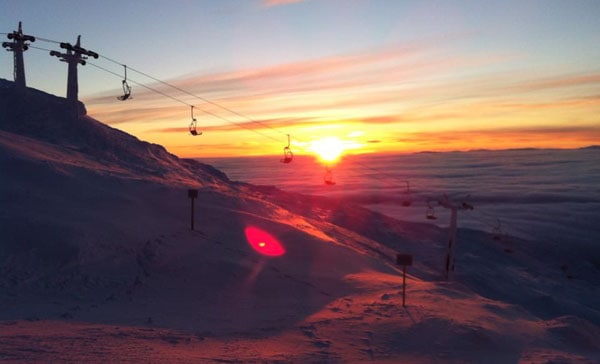
Here’s another of those mouthwatering sunrise shots which have been coming out of Are in Sweden this winter. I’m heading out there to ski next week – and I hope the weather stays cold and sunny, as it has done for much of the season. So I can bomb about to my heart’s content underneath the VM8 lift…
More snow in the forest for the western resorts of the USA and Canada
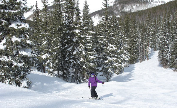
Regular followers of the snow report will know that the American Rockies got a much-needed dump of snow last week – with Vail notching up 60cm, and Snowbird nearly a metre. Welove2ski’s Peter Hardy was out there earlier this week, skiing fast-grippy pistes beneath a blue sky. However, he reports that the snowpack is still thinner than it should be for the time of year.
Fortunately, there is more snow in the forecast. It’s due into Whistler this morning, and into Heavenly and the Lake Tahoe resorts of California tomorrow. 5-15cm are expected in both areas. Thereafter it should roll into the Rockies.
| France: See our main report. Off-pisters should exercise caution thanks to an avalanche risk of 3/5. Anyone skiing on piste should pin their ears back, enjoy the soft, grippy snow and thank the Lord they weren’t skiing last week. Above Val Thorens the snow is now up to 200-350cm deep, and in Les Arcs it’s 130-257cm deep. | |
| Switzerland: fabulous wintry conditions are the rule across Switzerland at the moment. But be careful off-piste. Currently, Andermatt has up to 123-430cm of settled snow, and Davos up to 83-173cm. | |
| Austria: it’s been a snowy week in Austria. The cold temperatures mean that every resort can offer superb skiing at the moment, whether it’s high or low. Currently, high-altitude Obergurgl has 98-218cm of snow, the Skiwelt 85-155cm and St Anton 85-270cm. | |
| Italy: there was fresh snow overnight in the Italian Dolomites – 25cm in Selva, which reports 60-160cm of settled cover. The sun is now out. Above the Aosta Valley, Cervinia has 10cm of fresh snow, and 85-275cm of settled cover. | |
| Andorra: see our main report. Fresh snow and low temperatures are setting up what should be a memorable weekend in Andorra. Currently, the Grand Valira – Andorra’s biggest ski area – reports 110-210cm of snow on its slopes. | |
| Western USA: See our main report. Conditions in the Rocky-Mountain resorts have improved, thanks to last week’s snow, but they could do with more. Fortunately, that’s what’s scheduled in the forecast. In Utah, Snowbird the snow report talks of 185cm, mid-mountain; in Jackson Hole in Wyoming that figure is 142cm, and in Vail, Colorado 93cm. Meanwhile, above Lake Tahoe in California, Heavenly reports 107cm of settled snow. | |
| Western Canada: Most of Canada missed out on the heavy snow that hit the American Rockies last week. But there have been a few flakes about in the last two days. Whistler reports 20cm of fresh snow, with more to come this morning. It’s mid-mountain snow depth is 192cm. Fernie reports 9cm of snow in the last 48hrs and settled snowpack of 234cm. Above Lake Louise the snow is 142cm deep, mid-mountain. |


The snow’s easing up, the sun’s due to come out, and there’s half a metre of powder across the northern Alps… https://t.co/cy7ZQqub
RT @welove2ski: The snow’s easing up, the sun’s due to come out, and there’s half a metre of powder across the northern Alps… https://t.co/cy7ZQqub
Wahoo!!! “@welove2ski: The snow’s easing up, the sun’s out, and there’s half a metre of powder in northern Alps… https://t.co/mxuvkrez”
50cm of fresh snow in the Alps! https://t.co/cy7ZQqub Hands up who wishes they were #skiing this week.
@jentravelstweet I’ve got both feet up too…50cm of powder…and the sun’s coming out tomorrow…https://t.co/cy7ZQqub
RT @welove2ski: @jentravelstweet I’ve got both feet up too…50cm of powder…and the sun’s coming out tomorrow…https://t.co/cy7ZQqub
We have late availability in Veysonnaz. Don’t miss out on this fabulous snow.
RT @welove2ski: 50cm of fresh snow in the Alps! https://t.co/cy7ZQqub Hands up who wishes they were #skiing this week.