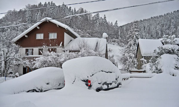
What a fortnight the Pyrenees are having. If you saw our January 17 snow report, you’ll know many resorts there were walloped by a big storm last week. The Grand Tourmalet ski area in France reported 1.5m of fresh snow in just three days, and Baqueira in Spain had 2.5m between January 13 and 17.
There was a nasty thaw on Friday and Saturday, but the snow returned on Sunday and there’s been plenty more since then. This morning, Baqueira reports 60cm of fresh snow in the last 24hrs, an avalanche risk of 4/5, and settled snow depths of 340cm at the top of the ski area. Flippin ‘eck…
Here’s how Baqueira was looking this morning.
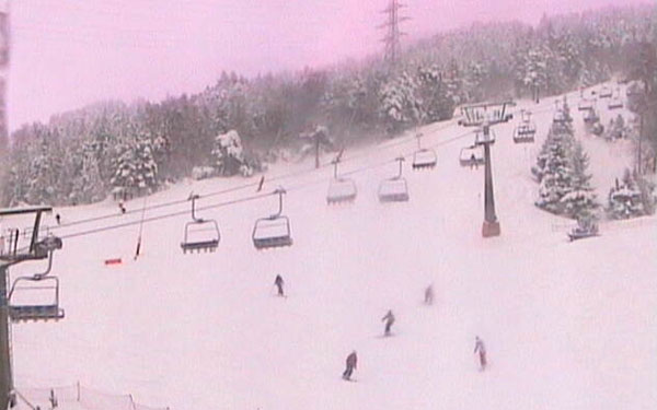
And here’s the scene in the El Tarter sector of the Grandvalira ski area in Andorra.
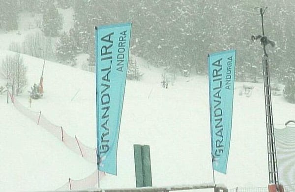
There’s more fresh snow in the forecast for the weekend, too: though some charts are predicting a sharp thaw next week.
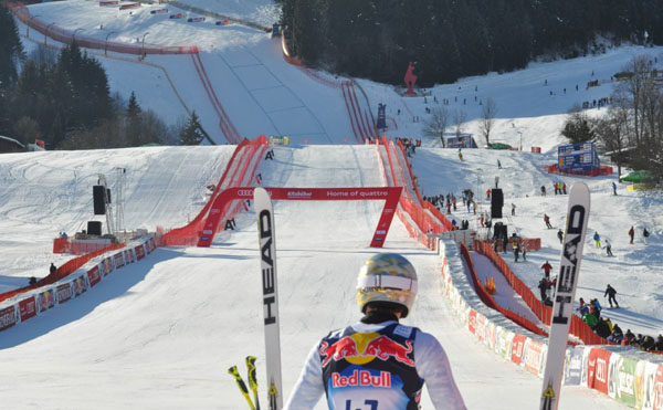
Meanwhile, in the Alps, the biggest Downhill race in the World Cup calendar is almost upon us: the Hahnenkamm in Kitzbuhel. In sharp contrast to last winter, when a blizzard dumped a metre of snow at the top of the course on the night before the race, it looks as though the weather will be kind to the organisers in 2013. Training took place yesterday in near-perfect conditions, and although there’s a dusting of fresh snow in Friday’s snow forecast, it’s not looking significant. Saturday – the day of the big race – should be sunny and cold: Perfect for ski racing – and perfect for partying too…
The next significant snowfall across the region looks set for Monday. Here’s the current Welove2ski snow map for January 28. Once the weather front has moved on it looks as though another thaw is on the cards. It’s not yet a certainty, though. We’ll keep you posted.
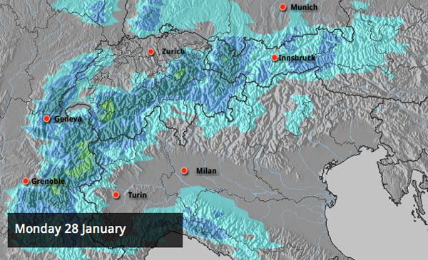
In the meantime, there are two or three lovely days of skiing ahead: with clear skies today and Saturday and cold but not frigid temperatures. In the northern half of the Alps off-pisters will need a guide to help them hunt out the best snow. There was a wee top-up on Monday in many places (10cm in Tignes and Val d’Isere for example), but conditions away from the groomers are variable – powder, crust, wind-blown snow are all out there, according to Meteo France’s avalanche report.
In the southern half of the Alps there was rather more fresh snow at the start of the week. Madonna di Campiglio had 35cm, Selva had 30cm, and parts of the Engadin Valley – home to St Moritz – had up to half a metre.
Here’s a brief survey of today’s cams.
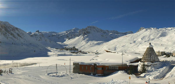
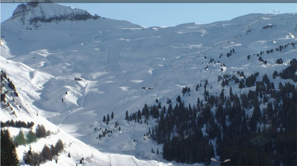
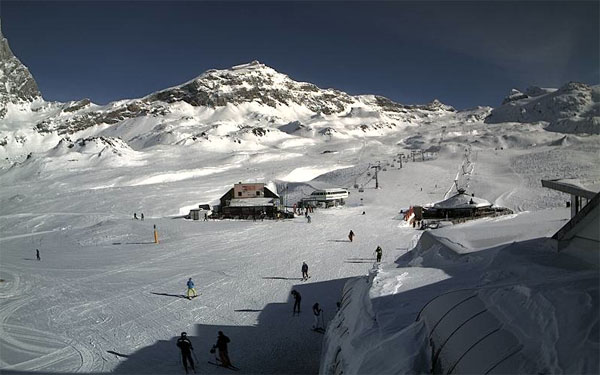
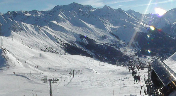
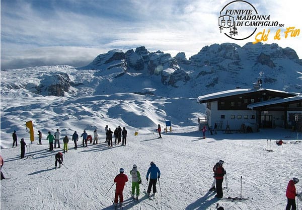
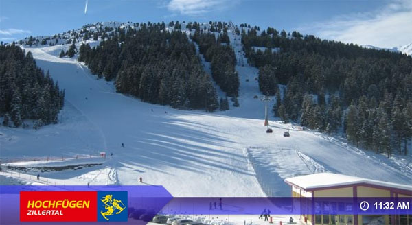
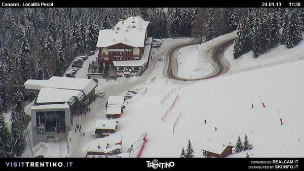
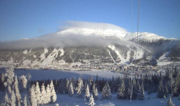
And here’s the scene today in Are, Sweden. Sunny and cold – as it has been for much of the winter…
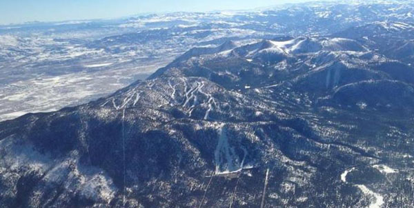
Across the Altantic, in the western resorts of Canada and the USA, the long spell of dry and sunny weather is coming to an end. Whistler, on the west coast, has already had a dusting of snow (16cm), and there’s more to come as two separate weather fronts line up across the region. The first is going to be mild for the time of year, but by Sunday the second front is going to drag in cooler air, and most resorts – whether in the Rockies, or on the coast – should see at least a little snow. The forecast for Utah looks particularly promising, as it does for southern Colorado – but I’ve got my eyes firmly fixed on Heavenly, California, where I’m heading on Sunday… Snow Gods, are you listening?? See the mountain below? SEND YOUR SNOW HERE.
| France: after a dusting of snow (5-10cm in most resorts) on Monday the weather in the French Alps has settled down, and has stayed cold and sunny for the most part (in sharp contrast to what’s going on in the Pyrenees). It will continue that way until Sunday-Monday, when a new weather front should bring fresh snow. Thereafter a thaw is looking likely. Snow depths remain excellent at altitude. Above Val Thorens the snow is 125-235cm deep, and in Les Arcs it’s 100-197cm deep. | |
| Switzerland: Conditions are very similar to those in France at the moment – except in the Engadin valley, where there was a decent dump of snow on Sunday. Currently, Andermatt has up to 90-400cm of settled snow, and Davos up to 60-124cm. | |
| Austria: It’s a good week for ski-racing in Austria – see our main report for more on that. Currently, high-altitude Obergurgl has 95-214cm of snow, the Skiwelt 55-135cm and St Anton 60-180cm. | |
| Italy: There’s been fresh snow at altitude in many Italian resorts over the last week – and the Dolomites have had some of the best of it. There, Selva reports 55-145cm of settled cover. Above the Aosta Valley, Cervinia has 50-205cm of settled snow on its slopes. | |
| Andorra: See our main report. It’s been an extraordinary fortnight in the Pyrenees – and there’s more to come this weekend. However, chances are there’s a thaw on the cards after that. Currently, the Grand Valira – Andorra’s biggest ski area – reports 70-160cm of snow on its slopes. | |
| Western USA: They could do with some more snow in the western resorts of the US – and they should get it over the next four or five days as the long dry spell breaks down. To start with, temperatures will be quite mild, but it’ll get colder on Sunday. Currently, Kirkwood, California claims up to 260cm of settled cover. In Utah, Snowbird the snow report talks of 144cm, mid-mountain; in Jackson Hole in Wyoming that figure is 115cm, and in Vail, Colorado 53cm. | |
| Western Canada: The dry spell is already over in western Canada – and Whistler reports 16cm of snow in the last two days. The mid-mountain snow depth there is 185cm. Above Fernie, there’s 12cm of fresh snow this morning and the snowpack is 193cm deep. Above Lake Louise it’s 136cm. |


It’s another snowy day in the Pyrenees! Baqueira in Spain reported 60cm this morning.
https://t.co/QCG1DLX7
RT @welove2ski: It’s another snowy day in the Pyrenees! Baqueira in Spain reported 60cm this morning.
https://t.co/QCG1DLX7