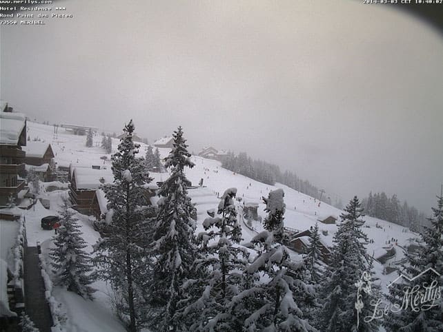
There’s more good news for skiers in the Alps. Today, yet another band of snow is moving across the western end of the region, and according to our Snow Forecast for the Alps, it’s going to bring a 10-20cm top-up to resorts in France and western Switzerland.
This is on top of the snow that fell on Friday and Wednesday last week. Lately it seems as though it’s been a case of one day of sunshine, one day of snow – and temperatures have been cool for the time of year too. Whenever the skies have cleared, the skiing has been superb.
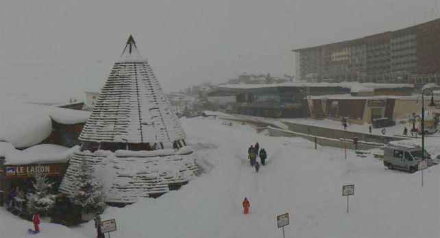
Here’s how it’s looking across this part of the Alps this morning, starting with Les Deux Alpes. Its snow report records 75-220cm of settled snow across the pistes.
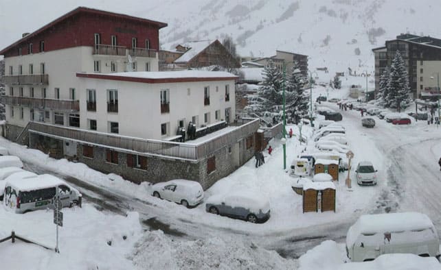
Pictured below is Serre Chevalier, where the settled snow is 105-300cm deep, on-piste.
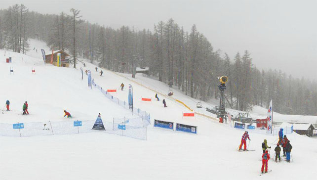
Below is La Clusaz, where the snow is falling down to village level today and the cover is 75-220cm deep.
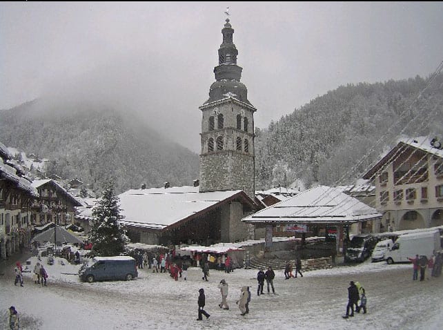
Finally, this is the whiteout in Tignes at the moment, where the pistes have 138-220cm of cover.
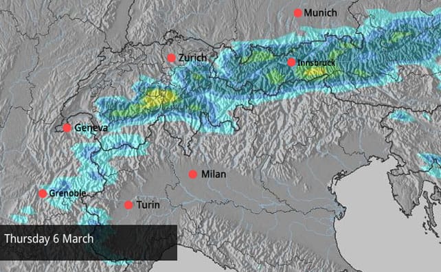
Even better news is the likelihood of an area of low pressure forming over northern Italy on Tuesday – which will produce 30-50cm of fresh snow over parts of the north-eastern Alps. Much of Austria has missed out on the recent storms, and the lower resorts really need a top-up. Sadly, not all of them will get a proper dump, but all should expect at least 10cm.
Let’s not forget what just happened in southern Switzerland and Italy
One other feature of the weather lately has been the heavy snow that’s fallen in the central Alps – across the resorts of southern Switzerland, parts of Italy, and a few spots in southern Austria.
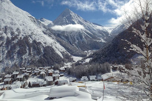
Pictured below is Saas-Fee in Switzerland this morning. It had 70cm of snow on Saturday and its snow report records 143-415cm of settled cover, on-piste, depending on altitude.
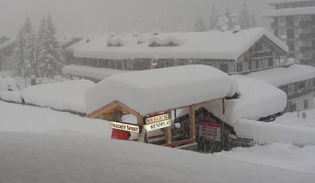
Below, is the scene in the Monterosa ski area of Italy this morning. The area had a big dump on Friday night and Saturday which left 50-100cm of snow across the ski area. The avalanche risk shut parts of the lift system, and some of the roads out of the villages, making resort transfers something of a challenge. As you can see, it’s snowing again there this morning.
Meanwhile, this is is Madonna di Campiglio in the Brenta Dolomites. The resort reports 98cm of new snow over the weekend, bringing its season total so far to a whopping 914cm.
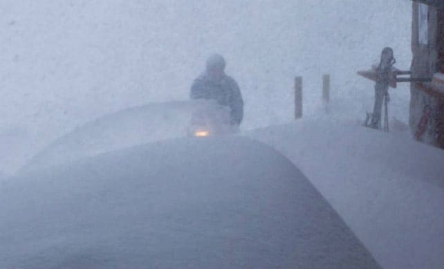
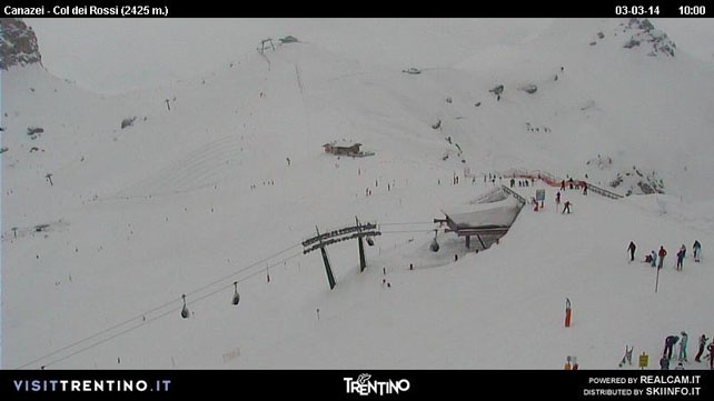
Pictured below is Canazei in the eastern Dolomites, which reported 10-40cm of fresh snow at the weekend, and 95-280cm of settled snow.
BUT – change is coming
Don’t get complacent about this seemingly endless sequence of snowstorms – because change is coming. The skies will start to clear from the west on Wednesday, and it will stay sunny until the end of the week at least. In fact, with the odd interruption, the sunny weather is likely to persist until the end of next week…
It’s not expected to be too mild, to begin with – but this is March, and the sun is starting to bite whenever it comes out. If you’re going skiing in the near future, aim high.
Fresh snow in the Pyrenees
There was fresh snow in the Pyrenees this weekend, as well. Pictured below is the Grandvalira ski area in Andorra, which is shared between Soldeu and Pas de la Casa. There was 40cm of snow here on Saturday and settled depths are now between 130 and 250cm, on-piste.
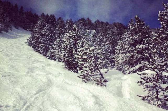
Meanwhile, Baqueira in Spain reported 40-50cm of fresh snow on Saturday. Settled snow depths there range between 185 and 305cm.
Plenty of fresh snow in America, too…
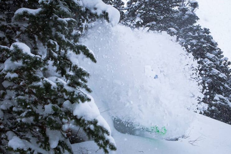
Pictured, above, is The Canyons in Utah yesterday, which had 50cm of snow from a storm that swept in from the Pacific at the end of last week.
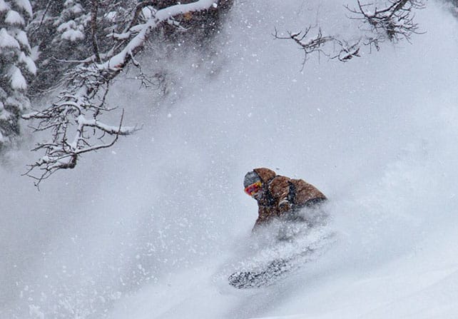
The resorts of California were also hit by heavy snow. The small, rootsy and amazing resort of Kirkwood notched up 109cm on its upper slopes as a result. Here’s a wee taste of how the snow was in the resort on Saturday.
There was fresh snow further east, too. In Colorado, Vail had 30cm from the storm and Aspen 38cm, while in Wyoming, Jackson Hole continued its fabulous run of powder days with 56cm of fresh snow in two days – bringing its season total to 10.10m so far…
| France: see our main report. February and early March 2014 has been a good time to ski the French resorts, with regular top-ups of snow. Currently, Tignes reports 138-210cm of settled snow on its pistes, Val Thorens 150-250cm and Montgenevre 180-230cm. Watch out for the big change in the weather on Wednesday/Thursday, though. | |
| Switzerland: western Switzerland is getting more snow today, and the east of the country should do well from a second storm on Wednesday and Thursday. Currently, little Andermatt has cover 117-400cm deep on its slopes. Meanwhile, in the west, Verbier reports cover 95-192cm deep, and in the north Laax has snow 35-160cm deep, on piste. | |
| Austria: more snow is needed in the lower resorts, north of Innsbruck – and hopefully they’ll get at least a moderate coating on Wednesday and Thursday. Elsewhere, snow depths are respectable – and in the East Tirol and southern Carinthia, they’re much more than that. Currently, the Skiwelt in the north reports cover 35-65cm deep. By contrast, in Nassfeld in the south, the snowpack is a whopping 140-460cm deep. Meanwhile, in the west St Anton reports 50-135cm of settled snow on its pistes. | |
| Italy: there’s no shortage of snow in the Italian resorts – which is going to set them up nicely for March. However, in common with the rest of the Alps, it is going to warm up at the end of the week. Currently, Madesimo, for example, is still reporting a settled snowpack of 300-500cm. Meanwhile, in the Aosta Valley, Cervinia has 190-340cm of settled snow, and Corvara in the Dolomites 170-310cm. | |
| Andorra: there was a good dump of fresh snow across the Pyrenees on Friday night and Saturday. As a result, Soldeu reports 130-250cm of settled snow on the pistes. Across the border in Baqueira in Spain, the snowpack is 185-305cm deep. Heavy snow is expected across the region this weekend. | |
| Western USA: there’s plenty of snow in the western resorts of America, thanks to the recent storm. Another storm is due in tonight. Currently, in Wyoming, Jackson Hole has 256cm of settled cover, mid-mountain, Breckenridge in Colorado has 231cm, and in Utah, Snowbird reports 264cm. | |
| Western Canada: there’s been fresh snow in Canada this week. Yesterday, Whistler reported just 66cm of snow in the last week and 218cm of settled snow, mid-mountain. Inland, it’s been drier. In Banff National Park, Lake Louise has had just 1cm of new snow in the last week and reports 152cm of settled cover. However, there’s no sign of spring here just yet, with today’s high expected to be -13C. Further south, Fernie has had 3cm of fresh snow this week, and reports a mid-mountain snowpack 252cm deep. Today’s high is expected to be -16C. |


Snow report @welove2ski https://t.co/c7kFCmpEkJ. Between 95-192cm of fresh snow – looking good #Verbier https://t.co/2fajw3y9td
“@skiverbier: @welove2ski https://t.co/rU4xJxT3k4. Between 95-192cm of fresh snow – looking good #Verbier https://t.co/7gR6VzyFy1” @lydfew