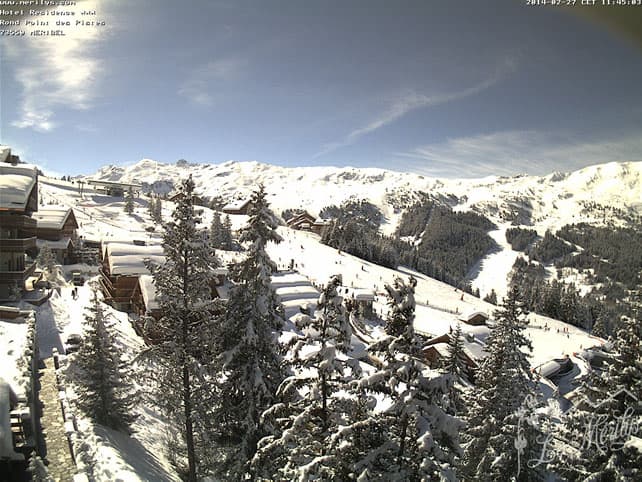
If you want fresh snow, the western Alps is the place to be at the moment – thanks to yesterday’s storm, which dropped 15-35cm of the white stuff across many resorts in France and western Switzerland.
This comes on top of several bouts of fresh snow last week. “The snow cover remains good, thanks to a particularly snowy February,” says the Meteo France avalanche report for the Vanoise sector (which includes the resorts of the Three Valleys). It also remarks that after a significant thaw at the start of the week, more wintry conditions have returned to the mountains. Currently, there’s dry, cold snow to be skied down to 1200m on north-facing slopes and 1600m on sunny ones.
Bear in mind however, that the avalanche risk is currently 3/5 in France – considerable.
More snow is on the way too – in fact, our snow forecast for the Alps is full of the stuff, with Friday looking good for France and Switzerland….
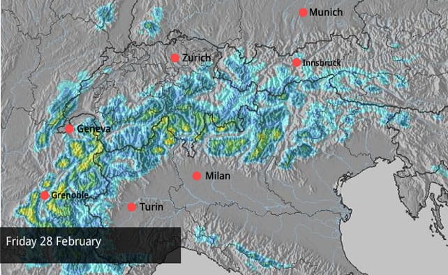
and Saturday looking good for Italy…
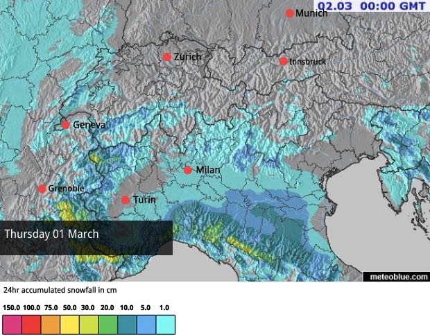
On Sunday, Austria should see snow – and, once again, it’s needed in the low-lying resorts north of Innsbruck. Although the southern resorts in Austria have seen plenty of snow this winter (in Nassfeld the cover is 450cm deep at altitude), none of the winter’s weather patterns have helped the north – and at village level the pistes are once again ribbons of white against the grass. Fingers crossed they got more than a dusting from the next round of storms.
Here’s a sample of the day’s webcams, starting with Les Deux Alpes, south of Grenoble, where there was 10-15cm of snow yesterday. The settled cover is 75-220cm deep, on-piste.
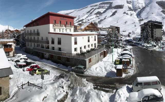
Pictured below is Serre Chevalier, a little further south, which had up to 33cm of new snow yesterday. The snowpack here is 115-300cm deep.
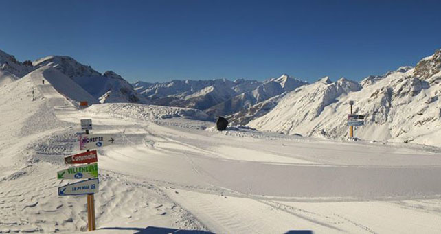
Below is the gorgeous powder-on-piste in Val d’Isere first thing this morning. The resort reported 11cm of fresh snow overnight and has a snowpack 122-185cm deep. Many thanks to YSE for the photo.
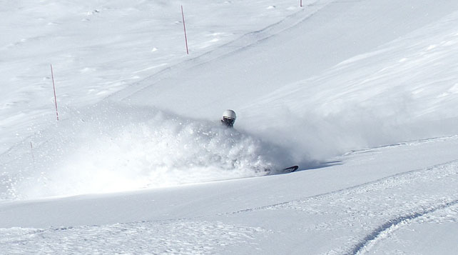
Pictured below is Avoriaz, yesterday (thank you, Alpine Elements, for the shot!). There’s no word on how much fresh snow fell in the latest storm, but the cover is an impressive 290cm deep on the highest slopes.
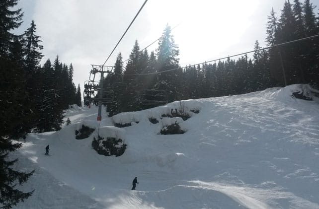
Pictured below is Verbier, Switzerland. which claims 30cm of new snow on its upper slopes, and a settled snowpack of 85-196cm.
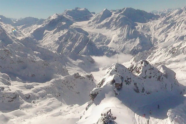
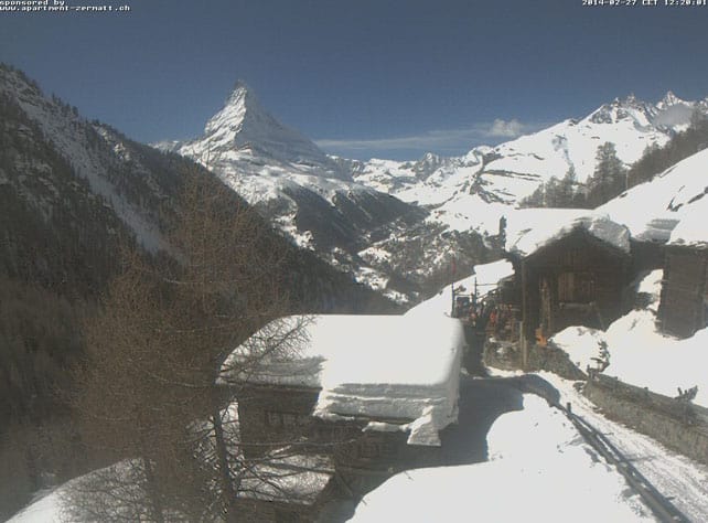
Below is Zermatt, Switzerland, which had just a dusting of snow yesterday (up to 5cm). The cover here is 90-350cm deep, depending on altitude.
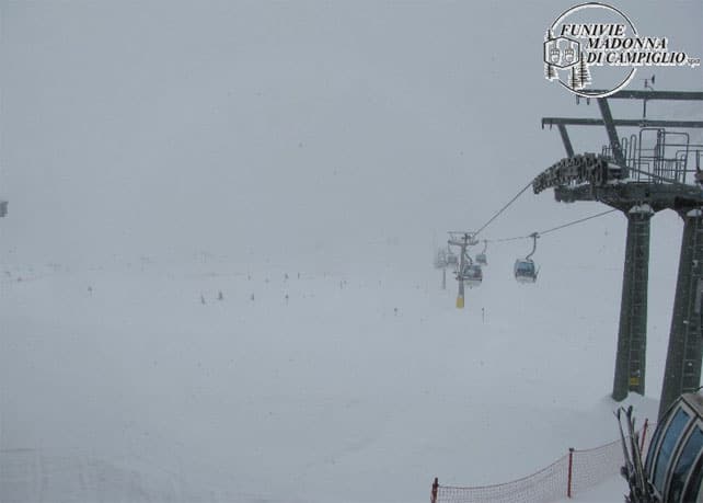
Meanwhile, in Madonna di Campiglio, Italy, there was no new snow yesterday – but it’s clearly snowing there now. The snowpack is 240-270cm deep.
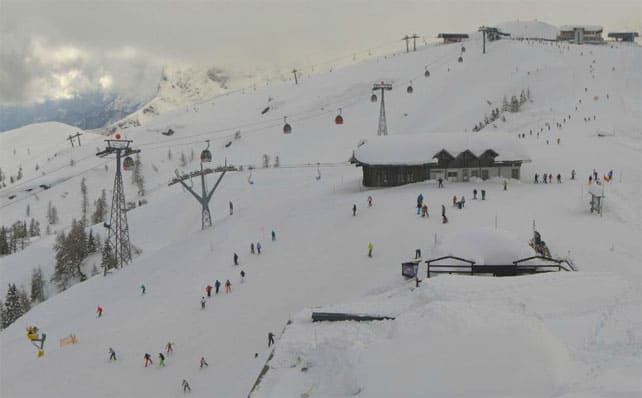
Below is Obergurgl in Austria. There was no new snow yesterday: but the resort reports 69-141cm of the white stuff packed down on the piste.
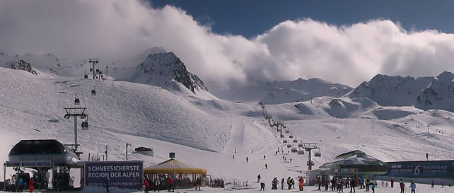
Pictured below is Nassfeld, another of Austria’s southern resorts, which has been hammered by snow this winter. Here the cover is 150-450cm deep, on the pistes.
Big snow due in California
Over the last week or so we’ve all been marvelling at the endless snow falling in Jackson Hole, Wyoming – which has brought the season total to a powdery 9.32m so far.
Here’s the video the resort put out on Sunday to celebrate its riches.
But now attention has switched to the south and west, where a couple of mild, humid Pacific storms are lining up to pummel California – before moving inland to the Rockies. The first band of snow started falling yesterday, and will continue today, dropping over 30cm on the mountains. According to Tahoe snow guru Bryan Allegretto even heavier snow is expected on Friday and Saturday. Inland, parts of Utah and Colorado should get 30-60cm out of the same storms.
To start with, mild temperatures will mean wet and heavy snow at lower elevations. However it will get colder as the storm sequence progresses – and the slopes should end up with a coating of light powdery snow on top of the denser cover underneath. This is known as “right-side up” snow: floaty on top, but not so light and fluffy that you end up sinking down onto the old crud underneath. Needless to say, the locals are buzzing at the prospect.
| France: see our main report. There’s a great day of skiing to be had in the French resorts today – with fresh snow, sunshine and low temperatures the dominant features. Today, in sharp contrast to the warmth on Monday and Tuesday, the freezing point is at a wintry 1000m. Currently, Tignes reports 122-210cm of settled snow on its pistes, Val Thorens 140-240cm and Montgenevre 180-230cm. | |
| Switzerland: western Switzerland had a decent top of snow yesterday, but further east there was only a dusting. As in France, clear skies and lowish temperatures are a feature of the day. Currently, little Andermatt has cover 100-400cm deep on its slopes. Meanwhile, in the west, Verbier reports cover 85-196cm deep, and in the north Laax has snow 35-150cm deep, on piste. | |
| Austria: more snow is needed in the lower resorts, north of Innsbruck. Elsewhere, snow depths are respectable – and in the East Tirol and southern Carinthia, they’re much more than that. Currently, the Skiwelt in the north reports cover 35-65cm deep. By contrast, in Nassfeld in the south, the snowpack is a whopping 150-450cm deep. Meanwhile, in the west St Anton reports 55-135cm of settled snow on its pistes. | |
| Italy: the Dolomites had a good dump last Friday, but generally speaking the Italian resorts haven’t had as much snow in February as their rivals in France. Nevertheless, in the wake of the December and January storms, the snow is still deep. Little Madesimo, for example, is still reporting a settled snowpack of 300-500cm. Meanwhile, in the Aosta Valley, Cervinia has 180-320cm of settled snow, and Canazei in the Dolomites 95-280cm. | |
| Andorra: the cover is still deep across the Pyrenees, with Soldeu reporting 120-230cm of settled snow on the pistes. Across the border in Baqueira in Spain, the snowpack is 185-305cm deep. Heavy snow is expected across the region this weekend. | |
| Western USA: lots of snow – and mild temperatures – are on the cards over the next four days in California and the lower half of the American Rockies, with more than 60cm expected in some resorts. Currently, in Wyoming, Jackson Hole has 251cm of settled cover, mid-mountain, Breckenridge in Colorado has 218cm, and in Utah, The Canyons reports 137cm. | |
| Western Canada: in comparison with the middle of the month, the end of February has been a quiet one in western Canada. Yesterday, Whistler reported just 28cm of snow in the last week. However the snowpack is considerably improved as a result of the mid-February snow and is 224cm deep, mid-mountain. More snow is expected here at the beginning of next week. In Banff National Park, Lake Louise has had 18cm of new snow in the last week and reports 159cm of settled cover. Further south, Fernie has benefitted from some of the snowy weather that’s been pummelling Jackson Hole in Wyoming. It’s had 63cm of the white stuff this week, and reports a mid-mountain snowpack 263cm deep. |


Fresh snow, low temperatures and sunshine: it’s a gorgeous day to be skiing the western Alps. https://t.co/7DVOszQQXr