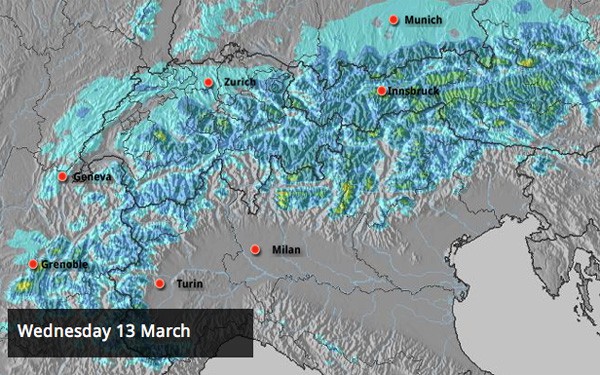
As anyone who saw last Thursday’s snow report will know, winter is on its way back to the Alps. It’s taking longer than we first thought for the really frigid air to reach the mountains: but temperatures are already dropping. According to French forecasting site Meteo Chamonix the freezing level today will be at 1700-2000m today, and 1200m on Wednesday. By then, snow will be falling down to 800m: and as you can see from the Alpine snow forecast, above, it’ll be spread across the whole region.
At the moment we’re not expecting any really big dumps. But there will be light snow falling over several days in many places, and the cold air will help to dry out the existing cover – which below about 2000m is pretty soggy at the moment. So you can expect a significant improvement in skiing conditions on-piste over the next four or five days.
Off-piste, conditions are going to improve too – although it’s unlikely that crud on the most popular routes will get a properly covering of new snow. You’re going to need a guide to help you find consistently powdery descents.
Advertisement
So, the news is generally good – though we’d like to see heavier snow falling to cover the effects of last week’s sharp thaw. Looking further ahead isn’t easy at the moment, by the way: the mid-range forecasts disagree about what’s likely to happen next week.
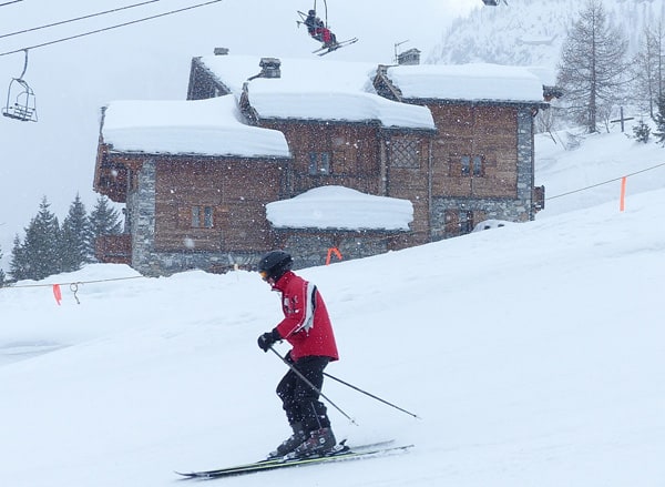
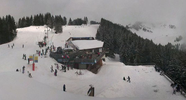
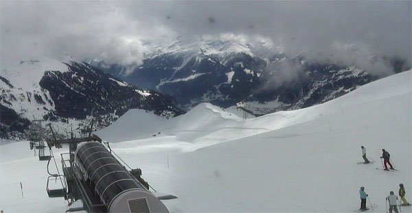
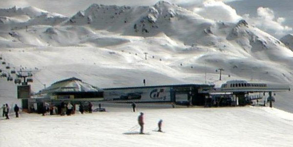
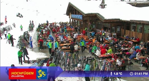
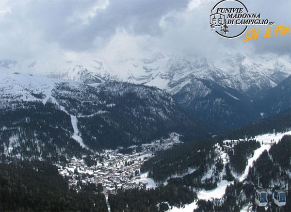
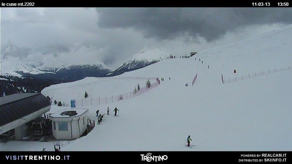
Here’s how it was looking around the Alps today.
In Scandinavia, winter still has a firm grip on the season
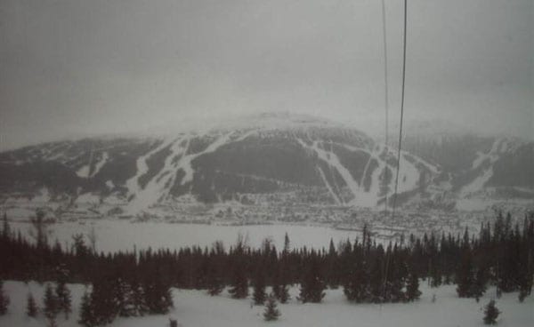
Scandinavia, like Britain, is already in the grip of frigid weather – and there’s snow in the forecast. Are in Sweden is expecting 10-20cm of the white stuff in the next 24 hours, to add to the 30cm that fell last week. Temperatures are pretty low too: no higher than -9C by the lake on Wednesday. Great caution will be needed off-piste in the wake of the snow, which is likely to be accompanied by high winds.
Heavy snow in southern Colorado
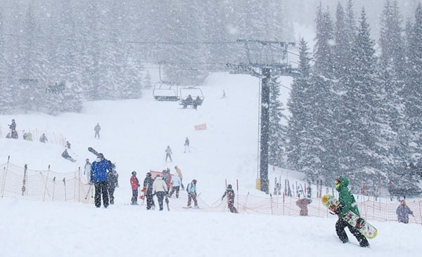
As predicted by weather guru Joel Gratz, southern Colorado had a good dump of snow on Saturday, with little Wolf Creek clocking up the biggest total: 66cm! However, for most Colorado resorts, 15cm was more normal. Now, the region is looking forward to mild and sunny weather, with more of the white stuff to follow at the weekend.
The Californian resorts should see snow at the weekend too – to add to the proper dump they had last week. Check out the video, below, to see just how sweet conditions were in Heavenly, last Thursday, in the wake of the storm.
| France: the thaw is losing its bite in France, and a cold snap is expected midweek. Snow depths are still pretty good, although the cover has been affected by the mild temperatures of the last eight or nine days. Aim high for the best snow for the time being. In Val Thorens the snowpack is currently 145-320cm deep. In Flaine the snow’s 65-345cm deep. | |
| Switzerland: conditions are much the same as they are in France. Temperatures are beginning to drop back, and it will be properly cold by Wednesday. Currently, Engelberg has 50-480cm of settled snow on its pistes, and a temperature of +4C at 1800m. In Davos it’s +5C in town and the snow is 63-156cm deep. | |
| Austria: it’s still fairly mild in the Austrian Alps – so ski at the top of your lift system for the best snow. Currently, high-altitude Obergurgl has 80-205cm of snow, the Skiwelt 70-140cm and St Anton 65-220cm. | |
| Italy: it’s another mild day in the Italian Alps, but there is some fresh snow around at altitude in places. In the Dolomites, Canazei reports 45-160cm of settled cover. Above the Aosta Valley, Cervinia has 70-260cm of settled cover. | |
| Andorra: it’s a sunny day in Andorra – but not as warm as it is in the Alps. Currently, the Grand Valira – Andorra’s biggest ski area – reports 140-250cm of snow on its slopes, and a top temperature of +4C at resort level. Several snowy interludes are expected this week. | |
| Western USA: Conditions are good in the Rockies right now, thanks to several recent top-ups of snow: but it’s likely to be quite mild this week in the expected sunshine, so the snow on the lower slopes will suffer a bit. The same is true of the Californian resorts. In Utah, Snowbird the snow report talks of 213cm, mid-mountain; in Jackson Hole in Wyoming that figure is 152cm, and in Breckenridge, Colorado 157cm. Meanwhile, above Lake Tahoe in California, Heavenly reports 122cm of settled snow. | |
| Western Canada: it was a quiet weekend, snow-wise in western Canada. However, the top half of the ski area at Whistler is expecting heavy snow this week (although it will be raining down in the valley): as much as 50cm could fall. Currently, the snowpack there is 245cm deep. Meanwhile, in the Rockies, it’s still good and wintry. Lake Louise is expecting a high of -5C today, and has a settled snow pack of 185cm. |


Our latest #Snow Report for is now live. And winter will be in the Alps on Wednesday! https://t.co/E0aGWNdzVZ
RT @welove2ski: Our latest #Snow Report for is now live. And winter will be in the Alps on Wednesday! https://t.co/E0aGWNdzVZ
RT @welove2ski: Our latest #Snow Report for is now live. And winter will be in the Alps on Wednesday! https://t.co/E0aGWNdzVZ
Snow Report, March 11 | Welove2ski https://t.co/KTr0bzBJq4