


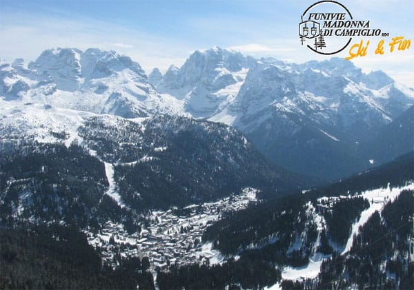
At last! The big freeze has reached the Alps. Temperatures have dropped through the floor, and across the northern half of the region there’s been fresh snow, too.
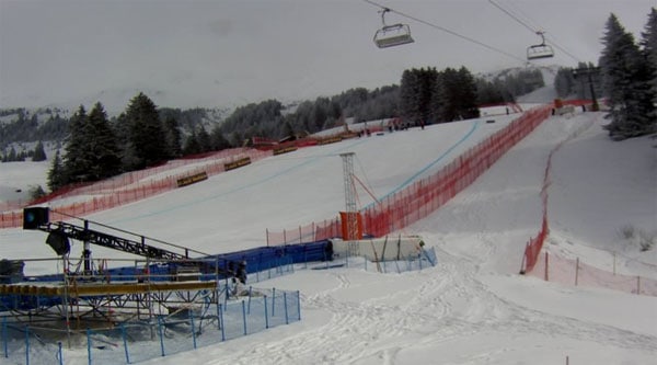
It’s not what you’d call a dump – yet. The most we heard about this morning was 15cm in 24hrs, courtesy of the snow report in little Sillian in the East Tirol. But it is now snowing again in many places – and there’s been enough to force the cancellation of the World Cup Super-G in Lenzerheide.
To give you an idea of how cold it’s become, the temperature in Lenzerheide was -9C this morning. In St Anton, they’re expecting a high of -3C at village level this afternoon, and the same in Meribel: for a couple of days it’s going to feel like the middle of winter.
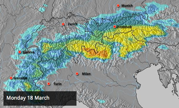
Look what’s in the forecast for next week
The really frigid weather is going to last only a couple of days, and will be followed a slight thaw at the weekend. Then, according to current forecasts, next week is going to get off with a bang. Check out the Alpine snow forecast for Monday, above! The bright yellow suggests over 50cm could fall in southern Switzerland and Austria as well as the Italian Dolomites. In some places it could be as much as 75cm.
(By the way, the resort-locator function is now back on our five-day snow forecast map – so you can see exactly what’s in store for nearly 80 Alpine resorts.)
Advertisement
There should be more heavy snow on Tuesday – but after that it’s likely to warm up again, in the short term at least. The fact is, while Britain and most of northern Europe will remain in the grip of cold air, the Alps are going to be on the front line between winter and spring; and it looks as though the mercury could be yo-yoing about there for some time. You might call it classic spring weather in fact…
In the meantime, skiing conditions will improve – slowly
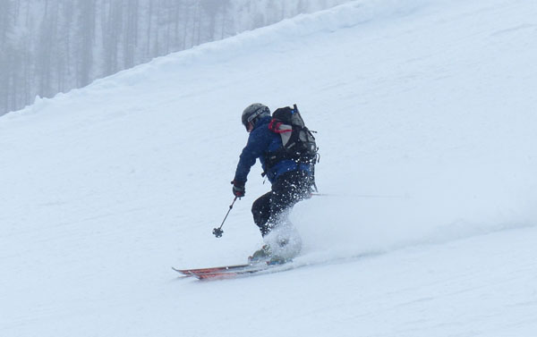
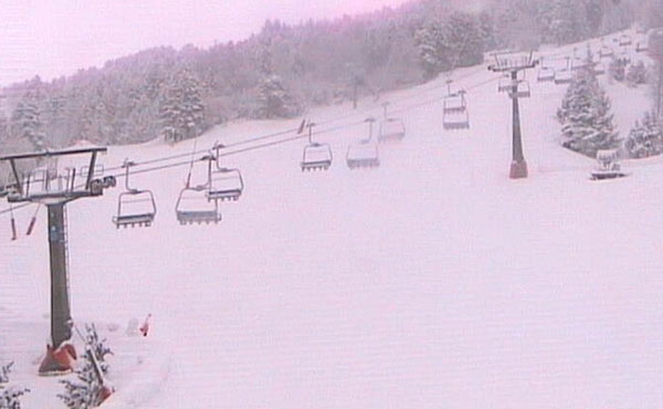
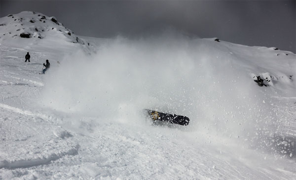
Needless to say, the drop in temperatures, and the fresh snow, will improve skiing conditions. However, in most places there hasn’t been enough snow yet to cover the popular routes off-piste, which are chopped up and – in many places – hard.
Our Meribel blogger, Alf Alderson reported this morning that “It’s snowing right now (and has been all night) and temperatures have dropped considerably. With more snow forecast for the next few days the prospects look good. Yesterday’s skiing was mixed; lots of ‘packed powder’ and not much in the way of ‘unpacked powder’ due to the recent freeze-thaw conditions. But it looks like we’re over the worst of that now.”
Cold air tends to dry out the top layer of snow that’s been affected by a thaw, so if you can find a quiet, untracked slope off-piste you may find yourself skiing on a delicious grippy surface with just a little powder on top. But don’t go looking for this kind of snow on your own: hire a guide to keep you safe.
On piste, the cover is likely to be hard in most places – and it won’t be softening up again for a day or two. Aim high and stick to north-facing runs for proper, wintry snow – until enough fresh stuff has fallen to provide cover for the pistes lower down.
Here’s how it’s looking today around the Alps.
Fantastic conditions in the Pyrenees
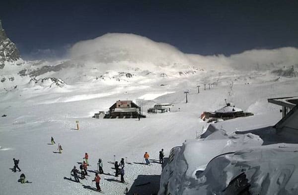
Remember the amazing mid-winter snow in the Pyrenees? Well, they’ve been having a wee reminder of those heady days this week. In Baqueira, for example, there’s 30cm of fresh snow on the ground, and the morning temperature is -11C. However, the time to ski it is right now – because it’s due to warm up at the weekend.
Winter still rules the roost in Scandinavia
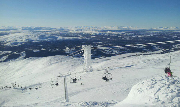
In common with much of northern Europe, Scandinavia is pretty chilly right now. In Are, Sweden, it’s -8C down by the lake this morning and -11C up on the higher reaches of the Areskutan. Not a bad day to be making your turns on its wide, open slopes.
More snow in North America
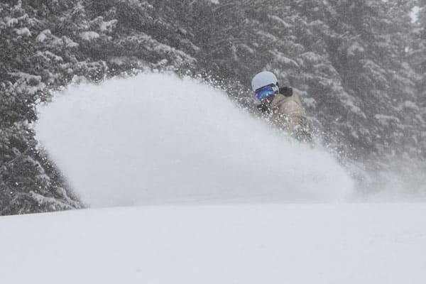
The snow has been followed by sunshine and mild air: but lower temperatures and more of the white stuff are on the way at the weekend. According to ace blogger Joel Gratz it’ll be light at first, but the region should see a more powerful storm in the middle of next week.
There’s been more snow in Canada, too. Yesterday, Whistler reported 46cm in 48hrs, on its upper slopes – although it’s been raining in the valley. Inland, Lake Louise reported 11cm of fresh snow, too.
| France: the thaw is over for the time being. Expect light to medium snowfall over the next day or so, slightly milder temperatures at the weekend, and then heavier snow at the beginning of the week. Resorts close to the Italian border, such as Val d’Isere, should do best from the coming dump. In Val Thorens the snowpack is currently 140-315cm deep, and the high today will be -10C in the resort. In Flaine the snow’s 60-345cm deep, and a high of -9C is expected. | |
| Switzerland: conditions are much the same as they are in France. Temperatures have dropped through the floor, and it will stay cold tomorrow too. A proper dump is on the cards for more southerly resorts on Monday and Tuesday. Currently, Engelberg has 50-480cm of settled snow on its pistes, and a temperature of -6C at 1800m. In Davos it’s -6C in town and the snow is 58-160cm deep. | |
| Austria: it’s cold and snowy in Austria today. Southern and western resorts should get most from the big storm on Monday. Currently, high-altitude Obergurgl has 80-205cm of snow, and a high of -6C, and St Anton 65-220cm. | |
| Italy: in the Dolomites, there was fresh snow yesterday. However, in marked contrast with the north, the resorts of the Italian Alps are enjoying brilliant sunshine today. Canazei reports 45-160cm of settled cover, with 15cm of fresh snow this morning. Above the Aosta Valley, Cervinia has 60-260cm of settled cover. | |
| Andorra: it’s snowing in Andorra. Currently, the Grand Valira – Andorra’s biggest ski area – reports 140-250cm of snow on its slopes, and a top temperature of -5C at resort level. | |
| Western USA: The Rockies are enjoying a mild and sunny interlude between bouts of light to moderate snowfall. Temperatures are likely to rise again at the weekend, and more snow is expected, heavier in the north than in the south. In Utah, Snowbird the snow report talks of 208cm, mid-mountain; in Jackson Hole in Wyoming that figure is 152cm, and in Breckenridge, Colorado 160cm. Meanwhile, above Lake Tahoe in California, Heavenly reports 122cm of settled snow. | |
| Western Canada: More snow is expected in Whistler over the next three days – and a drop in temperature. Currently, the snowpack there is up to 270cm deep. The weather’s mild in the Rockies at the moment too, by the usual chilly standards: +1C today in beautiful Lake Louise. |


At last! Winter’s finally made it back to the Alps. Check out our latest Snow Report for details. https://t.co/O1epuSTp6N
Hi Sean – how can we go about getting Snow Reports for East Coast USA up here as well? 1000s of UK skiers visiting the region every season would no doubt love to hear how good it is in New Hampshire right now, too!
Winter is back in Europe with some great conditions forecast for next week. If you’re heading off this weekend… https://t.co/RknckRR2bo
Innsbruck / Mayrhofen here I come. Is that fresh snow I see? POW! https://t.co/23EUuD7ef3