


And still it snows…
The winter storms that have been piling into the UK over recent weeks have affected the Alps too, and there’s no sign of them stopping.
As well as being unusually frequent, they’ve been unusually biased towards the southern half of the region. So – as regular Snow Report visitors know – it’s been a bumper season for snow in the southern Alps. The snow depths are extraordinary: 320cm at the top of the pistes in Isola 2000, north of Nice, 400cm at the top of little Madesimo in Italy, 420cm at the top of Nassfeld in Carinthia, southern Austria. And now…it’s snowing there again!
Check out today’s snow forecast for the Alps, below.
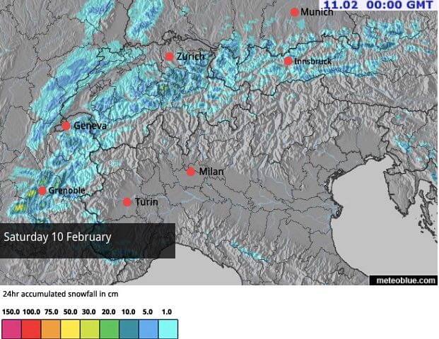
Once again, the southern half of the region is getting the lion’s share, with up to half a metre expected today in places. Further north, the skies are mostly grey, and a dusting of snow is expected. However, the chief characteristic there will be the Foehn wind blowing from the south, which is pushing up the avalanche risk in many places. For example, in Serre Chevalier, France, and the southern edge of the Tirol in Austria, it’s now 4/5, which means it’s too dangerous to go skiing off-piste.
One point to note about the northern half of the Alps: the region had a fair amount of snow last week, and at the weekend. The northern French resorts did particularly well from this: snow cover is now generally very good above the 1300m mark, and Meribel in the Three Valleys reports 106-164cm of cover depending on altitude.
In the resorts north of Innsbruck there was 10-20cm of snow at the weekend too: not as much as there was in the west, but still very welcome.
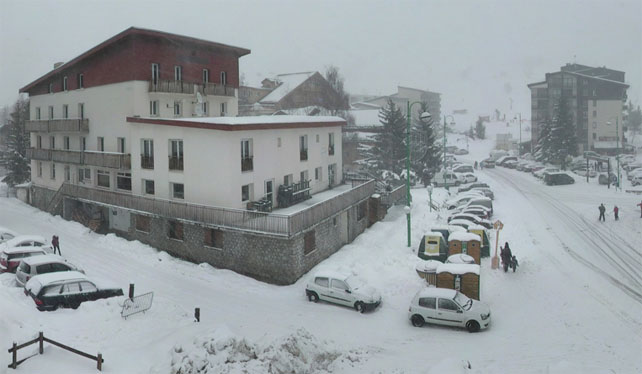
Right, onto the webams, starting with Les Deux Alpes, south of Grenoble, where the settled snow is 45cm deep on the lowest pistes, and 190cm at the top.
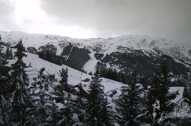
Further north, in Meribel, there’s less snow falling today, but the cover is still good – up to 164cm deep on the higher pistes, and up to 200cm deep in Val Thorens next door.
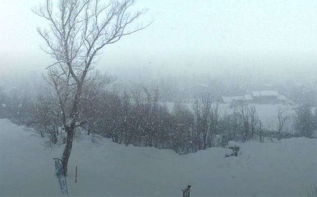
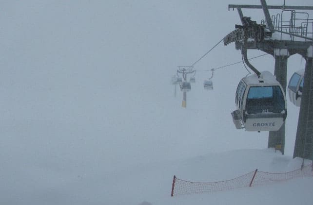
Pictured below are the white-out conditions in Cervinia, Italy, this lunchtime. High winds have closed the links over to neighbouring Zermatt, and the settled cover is 220-410cm deep, depending on altitude.
Pictured below is Madonna di Campiglio, in the Brenta Dolomites, where the cover is 240-270cm deep.
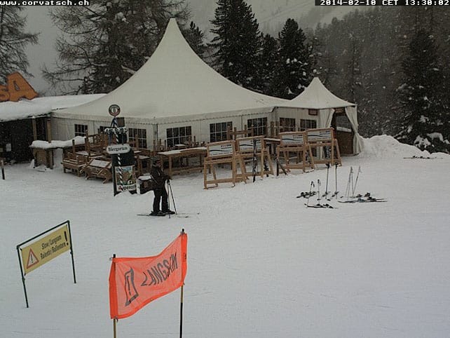
Below is the scene on the slopes near St Moritz in Switzerland, where the snow is 155-197cm deep.
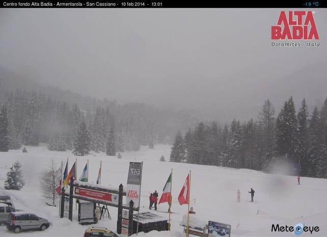
Below is San Cassiano, in the eastern Dolomites, where the snow is 160-270cm deep.
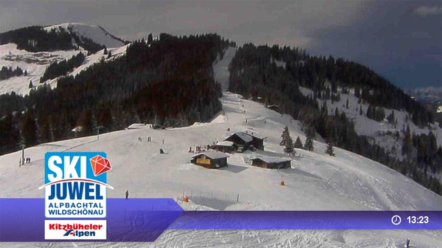
Finally, this is the Wildschonau in Austria, part of the Ski Juwel ski area – much improved after the 20cm top-up of snow at the weekend.
Meanwhile, the western US…
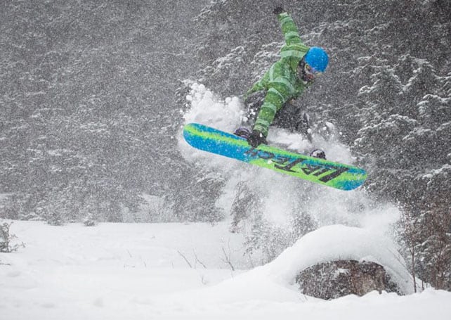
The much-anticipated storm in California and the Rocky-Mountain resorts materialised at the weekend. Big dumps were the result.
In California, Heavenly reported 71cm of snow by close of play on February 9, with more to fall overnight. Here’s the Facebook video they shot to celebrate.
In Jackson Hole, Wyoming they reported 56cm of new snow on Sunday morning and some “incredibly smooth” skiing.
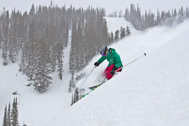
In the Canyons, Utah, the two-day total yesterday was 53cm. At Beaver Mountain, further north in Utah, they reported four foot of snow from the storm with more expected overnight. The road to the resort was however closed on Sunday because of the avalanche risk.
In Breckenridge, Colorado, the two-day total yesterday was 46cm.
Here’s the video they shot on Saturday, when less than half that total had fallen.
The skies are expected to clear today – at which point the action shifts north, with heavy snow in the forecast for Whistler and the Pacific Northwest – where it will be very welcome after a disappointing first half of the season. From there it will spread into Montana and the Canadian Rockies. Whistler is expecting around 50cm of snow in the next four days.
| France: cloudy and windy in the north and snowing hard in the south – that’s the picture today in the French Alps, with more of the white stuff expected on Wednesday. Conditions are best in the resorts south of Grenoble. Currently, Val d’Isere reports 108-180cm of settled snow on its pistes, Val Thorens 100-200 and Montgenevre 130-180cm. | |
| Switzerland: the deepest snow is in the southern and central resorts. For example, little Andermatt has cover 95-400cm deep on its slopes. Meanwhile, in the west, Verbier reports cover 45-144cm deep, and in the north Laax has snow 40-160cm deep. Most resorts in the Swiss Alps should see more snow over the next four days. | |
| Austria: There was fresh snow across Austria at the weekend, which did wonders to refresh the pistes. It was especially welcome in the resorts north of Innsbruck: although they still lag a long way behind their rivals in the south when it comes to snow depths. For example, in the Skiwelt the cover is 40-70cm deep. In Nassfeld, it’s 190-420cm. Meanwhile, in the west St Anton reports 50-125cm of snow packed down on its pistes. In Saalbach-hinterglemm, there’s 35-90cm of cover, with around 30cm of fresh snow up top. | |
| Italy: see our main report. The winter still belongs to Italy, and there’s a deep blanket of snow almost everywhere. | |
| Andorra: there was fresh snow in Andorra at the end of last week, which refreshed the pistes nicely. Currently, Soldeu and Pas de la Casa in Grandvalira report 110-220cm of settled snow on their pistes. Across the border in Baqueira in Spain, the cover is 215-285cm deep. | |
| Western USA: see our main report: the much-anticipated storm has delivered heavy snow to California and the central belt of the American Rockies. Currently, Breckenridge in Colorado has 224cm packed down, mid-mountain, Snowbird in Utah has 216cm, and Jackson Hole in Wyoming 185cm. | |
| Western Canada: No doubt about it, it’s been a weird winter. Madonna di Campiglio in Italy has had more than double Whistler’s snowfall so far this season. Currently, the mid-mountain snowpack in the Canadian resort is 125cm deep: but relief is on the way in the form of a snowstorm which should drop half a metre of snow on the resort in the next four days. Inland, Sun Peaks reports no new snow in the last week, and 140cm of cover packed down on its higher runs. Lake Louise in Banff National Park has had a similarly dry week. Mid-mountain cover is 126cm deep. It’s been cold too. Top temperature yesterday, despite the sunshine, was -18C. |


always good to see more snow 🙂 https://t.co/JxsXOowhdG
#snow – doesn’t stop! 2 metres at 1600m #puystvincent RT “@ welove2ski: Yet more snow in the southern Alps today https://t.co/KlW9Q7G8vD”