As regular followers of the Snow Report will know, it’s been a warm winter so far in the Alps. It’s been stormy too: although, unusually, most of the action has been confined to the southern half of the region. Weather fronts have muscled in repeatedly from the south-west, and rolled along the central spine of the Alps. Most of the snow has fallen in the southern French Alps, Italy, and in those resorts which lie close to the Italian border in Austria and Switzerland.
As a result, there are some impressive snow depths about. For example, Madonna di Campiglio, in the Brenta Dolomites, has a whopping 180cm of snow at 1500m, and 240cm at 2250m. Further east in the Dolomites, Canazei reports 50-195cm snow. Both had fresh snow yesterday too: up to 35cm in places.
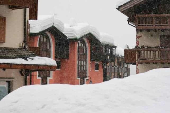
Meanwhile, in southern Switzerland, St Moritz has 194cm packed down on the lower runs and 228cm higher up. In Austria, Obergurl has up to 162cm, and in France Serre Chevalier has 110cm in the valley and 225cm up top. The avalanche risk is considerable or strong in most of these resorts – so check the local bulletins if you’re planning to ski off-piste, hire a guide, make sure you’re properly equipped and always, always, err on the side of caution.
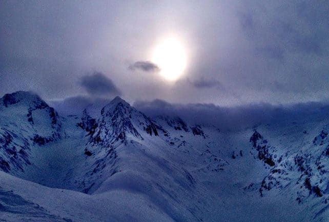
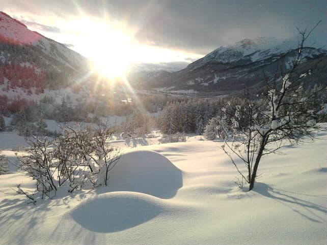
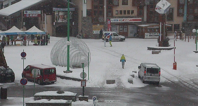
By contrast, in the north it’s been a much less impressive season so far, and lots of lower resorts have suffered from mild spells and bouts of the snow-eating southerly wind called the Foehn. Down in the valleys, all is green and spring-like. Two of our editors were driving through Bourg St-Maurice earlier today – which is well below resort level – but all the same were disturbed to find that, “It is wet and warm…just like Hampshire”. However, there is snow higher up: 76-122cm, in fact, up in Val d’Isere.
Worst-hit at the moment are the resorts north of Innsbruck in Austria, which have missed out on most of the snowstorms so far – and have suffered again in the latest mild spell. Sterling work has been done with snow-cannons and grooming machines to keep the pistes in shape, but they’re currently a long way behind their rivals in the south when it comes to snow depths and quality.
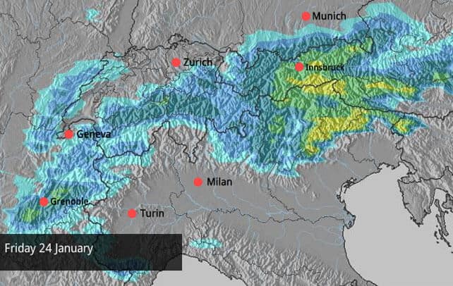
Fortunately, change is in the air. The wind is swinging round into the north-west and temperatures are dropping. In France, Meteo-Chamonix expects the freezing point to be down to 600m tomorrow. In Austria, it’s likely to be down to 900m by Friday
It looks as though Austria could get a proper dump of snow on Friday, too. Check out our Snow Forecast for the Alps for more on that – and fingers crossed it comes!
The forecast for the Pyrenees is predicting heavy snow on Friday too.
Across the Atlantic, sunshine
In the American Rockies Colorado had a cracking start to 2014. Utah didn’t do too badly, either. Especially after I’d finished skiing at the Canyons. Bah humbug.
Here’s a little video from Vail last week to prove it.
But now everything’s gone quiet. A ridge of high pressure will keep things sunny and dry, probably until the end of the month. Further north, it’s been dry too: and Whistler is reporting only 306cm of snow so far this season. Sometimes, it can get 3m in a single month.
| France: For the best conditions in France right now, aim high or ski in the south. As you’ll have seen in our main report, resorts south of Grenoble such as Serre Chevalier are in great shape. Up high in the likes of Tignes, and Val Thorens there’s plenty of snow, too: the latter reports up to 150cm on its highest pistes. However with the weather set to change and a more northerly airflow expected, with snow later in the week, lower and more northerly resorts should see improved conditions, too. | |
| Switzerland: As in France, you should aim high and stick to the south to to be sure of good skiing, for the time being at least. However, changing weather patterns should bring a top-up of cold, soft snow to all areas on Friday. In Zermatt there’s 55cm in the village and 215cm at 2900m. Meanwhile, Verbier has 45-125cm. | |
| Austria There’s plenty of snow close to the Italian border, and moderate amounts in the west (St Anton) reports 25-90cm. But in the north they’re still desperate for a change to a more northerly airstream – which will bring colder weather and the chance of snow. Above 1600m the skiing’s okay in the north: but valley runs are once again ribbons of white against the grass. Come on Snow Gods: share out your treasure! | |
| Italy: See our main report. After another dump of snow, Italy can boast the best conditions in the Alps. Above the Aosta Valley, Cervinia has 130-285cm of snow on its slopes, including 20cm of fresh snow this morning. | |
| Andorra: The change in the weather will affect the Pyrenees too – and there should be heavy snow here on Friday. Already, the snowpack is good: Soldeu and Pas de la Casa in Grandvalira report 90-170cm of settled snow, and nearby Vallnord has even more at Arcalis. | |
| Western USA: It’s still sunny in the Rockies: time to enjoy some superb piste conditions after some useful falls in recent days. Currently, Breckenridge has 150cm packed down, mid-mountain, Snowbird has 155cm, and Jackson Hole 130cm. | |
| Western Canada: Whistler is having a dry winter by its normal high standards, and currently has a mid-mountain snowpack of 140cm. Elsewhere, Lake Louise in Banff National Park has a mid-mountain snowpack of 141cm (it’s unusual that it has snow even marginally deeper than Whistler, by the way). Fernie has a total of 180cm, mid-mountain. |


Blimey, Madonna di Campiglio is looking snowy today. https://t.co/TpH57OpfEt
Check the latest snow report for the French Alps: https://t.co/CSN7Bhhk6j https://t.co/EcLlbjPEVR