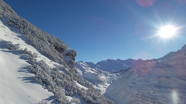
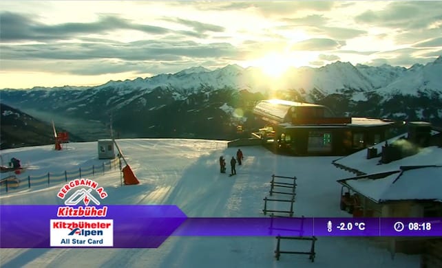
One of the most striking characteristics of this season’s snow is the way it’s favoured the southern half of the Alps – and it looks set to continue that way in the immediate future, too. So resorts such as Kitzbuhel, north of Innsbruck, will have to wait a bit longer for a proper dump. In the meantime, snow-making and grooming crews are doing amazing work to maintain the pistes. But it’s tough going, especially when temperatures begin to rise, as they did again today. They reached a balmy balmy +8C at village level in Kitz this morning.
Further west, France is looking good again with another half metre or more expected at altitude in most resorts. Take a look at Welove2ski’s Alpine snow forecast for an idea of the heavy falls expected. However, it’s worth noting that the temperature is going to yo-yo about a bit too: so there my be some rain in the lower resorts.
Switzerland remains a bit of mixed bag with good new snow in the southern half of the country but resorts like Verbier may miss out on much of the action over the next few days. Warning: the snowpack remains unstable across Switzerland and France in particular, with a risk of 3/5 that is likely to rise to 4/5 by Saturday and Sunday. Enormous care should be taken.
Looking further ahead, there are signs that by Sunday night or Monday a more frigid airmass is going slide down over the Alps, and it will snow lower altitudes, too. Generally, speaking snow from the north is good news for Austria too. Let’s hope it comes!
Across the Atlantic it’s all gone a bit quiet. After 230cm in January to date the sun is out in Vail and Breckenridge and indeed the whole of the Rockies should enjoy a sunny weekend with some great skiing. California seems to have forgotten all about skiing and appears to be heading for summer. In Heavenly and Mammoth the temperature a balmy 10C and no new snow. But forecasters suggest a return to winter at the beginning of February.
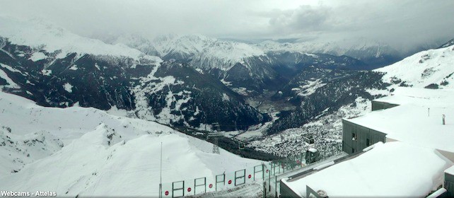
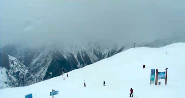
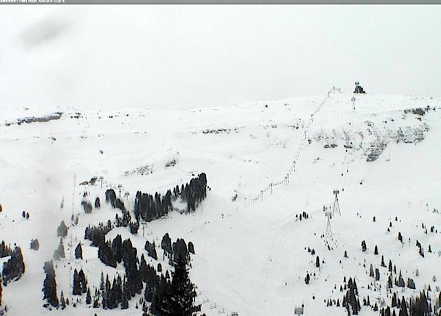
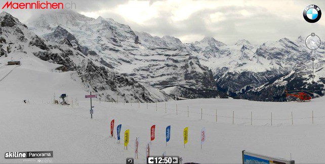
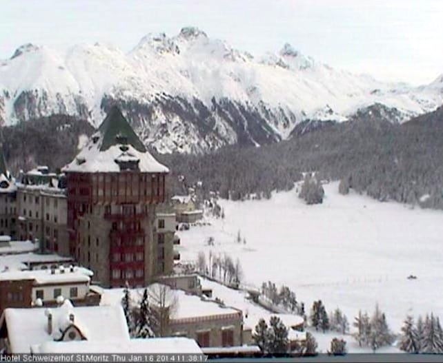
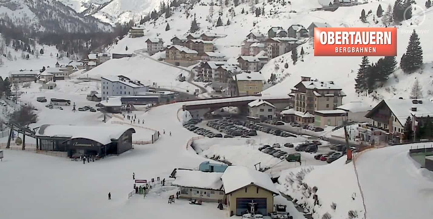
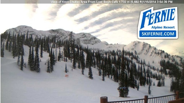
Below is a selection of webcam views from this morning:
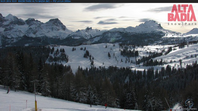
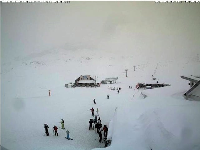
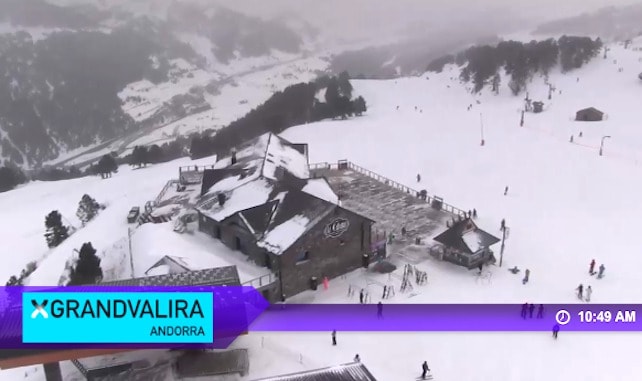
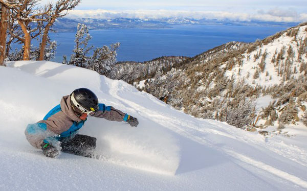
| France: The fresh snow arriving this afternoon should fall down to 1500m and then the snow/rain level will drop to 1000m overnight bringing relief to lower resorts where rain has already severely damaged the lower pistes. Our advice is still to head for the higher resorts although prospects in the lower villages are now better and bound to improve still further. Les Gets has 35cm in the village and 130cm up top – with another 20cm forecast.
Currently, Les Deux Alpes has 40-180cm of settled cover, on-piste, Val d’Isere has 73-113cm, Val Thorens has 90-160cm, in Flaine it’s 85-200cm, and Serre Chevalier 55-165cm. |
|
| Switzerland: As in France, you need to aim high to be sure of good skiing – although the snowfalls this weekend should improve the pistes at all elevations. In Zermatt there’s 40cm in the village and 185cm at 2900m. Elsewhere, Wengen has 30-90cm, in Laax the settled cover is 20-130cm deep, in Davos it’s 45-110cm deep and in St Moritz it’s going to be a snowy weekend which will improve the current figures of 100-140cm deep. | |
| Austria There was 5-10cm of fresh snow across the northern Tirol on Tuesday night, which fell down to resort level and did wonders for the pistes – in the short term at least. However, the snow pack here is still desperately thin, and resort are relying on their snow cannons for cover. Let’s hope the cold snap next week brings more substantial snow. Further south, and at altitude there are no problems. In the east Tirol and along the Italian border, the snow is deep and magnificent. In Obergurgl the settled cover is 75-180cm, and there will be more snow at the weekend. | |
| Italy: Conditions here are among the best in Europe with particularly good cover in the Sella Ronda and a lot more on the way over the weekend. San Cassiano and other villages have solid 60cm bases and 170cm on top, with more to come. Currently, above the Aosta Valley, Cervinia reports 80-160cm of fresh snow, and in Madesimo it’s even deeper, thanks to over 2m of snow at altitude from the Christmas storm. | |
| Andorra: Thanks to heavy snow in November, the Pyrenees got off to a cracking start to the season – and there was heavy snow at Christmas, too. Soldeu and Pas de la Casa in Grandvalira picked up another 5cm on Tuesday and it’s snowing there again today with a healthy 90-160cm of settled snow while nearby Vallnord has even more at Arcalis. | |
| Western USA: It’s a sunny weekend in the Rockies, time to enjoy some superb piste conditions after some useful falls in recent days. Currently, Breckenridge has 145cm packed down, mid-mountain, Snowbird has 165cm, and Jackson Hole 170cm. Heavenly in California has 79cm mid-mountain. | |
| Western Canada: At last, Whistler has picked up 78cm in the past seven days, bringing its mid-mountain snow depths up to 147cm. Elsewhere, Lake Louise in Banff National Park has had 86cm of new snow reports a mid-mountain snowpack of 157cm. Fernie has a total of 193cm, with 49cm of it fallen in the past week. |


At last the snow is falling across Europe! https://t.co/4z2VxCc2w8
Very professional – saves me going skiing. All I need to know! Well done!