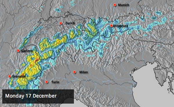
Blimey, Snowfiends – it’s hard to keep up with all the changes in the Alpine weather at the moment. But the overall pattern is clear. Firstly – the frigid, wintry conditions that dominated the region from November 27 to December 13 have been blasted away by milder air from the Atlantic. Secondly, a series of low-pressure systems is serving up weather front after weather front, and the temperature is yo-yoing about all over the place. In the higher resorts of the northern Alps there’s been plenty of fresh snow – to add to the heavy falls of early December. But lower down heavy rain has fallen from time to time, too. There hasn’t been much in the way of sunshine either…
Just to give you an idea of how variable the weather is going to be over the next few days, Meteo Chamonix is predicting the freezing level will be at 900m today in the French Alps, 2100m tomorrow, and 1700 on Friday. As you can see from the Welove2ski snow forecast, at altitude there’s going to be lots of snow over the next two days too. On Wednesday, the skies should clear for a day – and then three more weather fronts are expected in quick succession.
In the lower resorts of the Alps, the cover is holding up well – no surprise really, given how much snow fell in early December. But the quality has been affected. This has helped reduce the avalanche risk: but the process of melting and refreezing has spoilt the snow off-piste and created a hard surface on-piste.
Clearly, if you want soft, cold snow – grippy on-piste, and powdery off it – you’ve got to aim high: above about 2200m which was the height to which the rain fell over the weekend. In the north-western Alps, however, visibility at this kind of altitude will be pretty poor till Wednesday, when skies will clear for 24 hours.
Currently, the deepest snow is in the French Alps, northern Switzerland and along the Swiss-Italian border. Above Val Thorens in the Three Valleys, and Flaine in the Grand Massif, there’s up to 230cm of settled snow on the pistes. Andermatt has 320cm, and Cervinia up to 255cm. In western Austria, snow depths are good for the time of year as well: Obergurgl has up to 190cm of cover, and Lech 135cm.
The snow’s a bit thinner at the eastern end of the Alps – but there was a top-up at the weekend, and skies are likely to be much clearer this week. Above Canazei in the Italian Dolomites the cover is currently 25-130cm deep, depending on altitude.
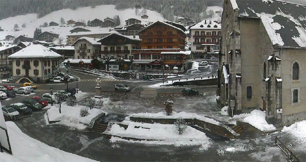
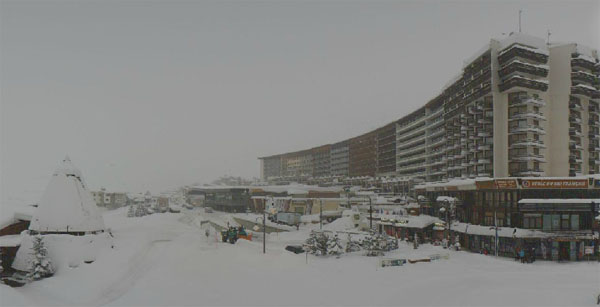
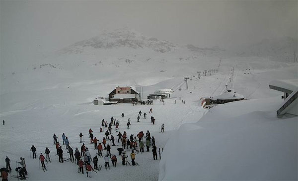
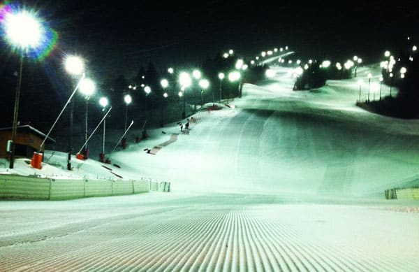
Here’s a brief survey of this morning’s webcam shots.
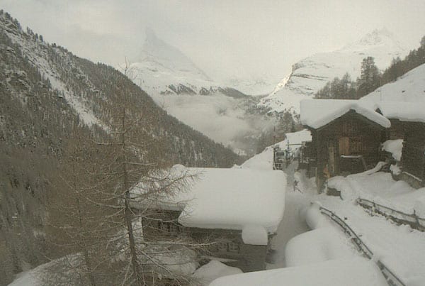
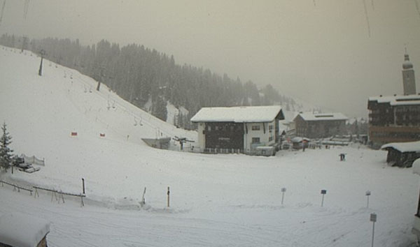
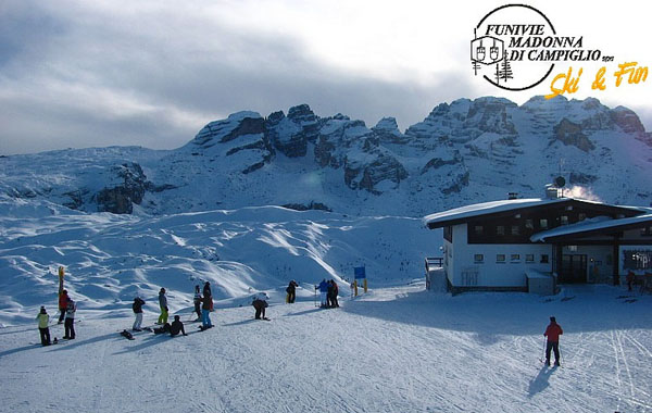
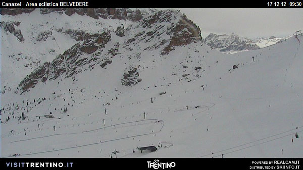
In Scandinavia, temperatures have risen too – but it’s not been as mild as it has been in the Alps. Currently, in Are, Sweden it’s about -1C by the lake and -3C on top. Preparations are underway for the women’s World Cup slalom and giant slalom on December 19 and 20 this week.
Across the pond, the resorts of the American west are expecting a snowy week. In many places, it’s already started. In California, Heavenly reported 25cm of new snow yesterday, and Kirkwood about the same. In Utah, Snowbird was claiming nearly 60cm of fresh snow, and in Colorado Vail reported 15cm. No-one’s going to complain about snow in the run-up to the Christmas, but it will be especially welcome in Colorado, where winter has got off to a very slow start.
Here’s Sunday’s video from Heavenly where the white-knuckle terrain in Mott Canyon opened yesterday for the first time this season – testament to the deepening snow base across the ski area.
| France: See our main report. A week of ever-changing weather and yo-yoing temperatures is expected across the French Alps. Snow depths are still excellent for the time of year in the high-altitude resorts, and they’re pretty good lower down, too – despite the rain at the weekend. In Morzine, for example there’s up to 90cm of snow on-piste at 1000m. Higher up, Meribel reports 95-165cm of snow on-piste, and Tignes 100-195cm. | |
| Switzerland: Most Swiss resorts have excellent cover for the time of year, despite the weekend thaw (and rain, at lower altitudes). There’s plenty more snow to come this week, too. Aim high whenever the skies clear if you’re after powder or grippy pistes. Verbier’s snow report currently claims 140cm of settled snow, mid-mountain – and in Engelberg there’s 135cm of snow mid-mountain. | |
| Austria: Generally Austria hasn’t had quite as much snow as France or Switzerland, but it’s still in good shape, given the date. The weekend rain – which fell to about 2000m – has affected the quality of the cover, though. Lech currently reports 80-135cm of snow on its slopes. In high-altitude Obergurgl there’s 80-190cm of settled snow. Lower down, in the Skiwelt, the snow is 45-95cm deep. | |
| Italy: The resorts of the Italian Dolomites got a welcome top-up of snow on Saturday: Canazei reports about 30cm, and settled depths of up to 130cm. Above Madonna di Campiglio the cover is up to 150cm deep. Further west, Cervinia reports 175cm of snow, mid-mountain. | |
| Andorra: The Pyrenees are feeling the effects of the thaw too and in the Grand Valira ski area depths are down slightly: the cover is currently 30-80cm deep, on-piste. | |
| Western USA: See our main report. It’s going to be an exciting week for powderhounds in the US. Utah currently leads the snowfall race, with 60cm of snow falling over the weekend in some resorts, but almost all of the west should see moderate accumulations at least. Snowbird in Utah currently has 152cm of settled snow, mid-mountain, Jackson Hole a metre, and Vail 45cm. | |
| Western Canada: All things considered, western Canada still has the best conditions across the Atlantic – though it looks as though parts of the American Rockies are catching up now. Whistler has the deepest cover – 163cm, mid-mountain – although Fernie’s not far off, with 145cm. In Banff National Park Sunshine Village reports a settled snow base of 118cm. |


Blimey, Snowfiends, it’s going to be hard keeping up with all the changes in the Alpine weather this week. https://t.co/NX0iINxO