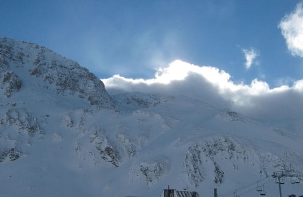
As regular followers of our snow report pages will know, the season has got off to a spectacular start in the Alps. Blizzards, bitter cold, the occasional day of miraculous, uninterrupted sunshine – we’ve seen lot of weather over the last couple of weeks, and it’s left an unusually deep mantle of snow over the mountains for the time of year.
So far, the northern and north-western Alps have seen the heaviest falls – in France, Val Thorens has an impressive 235cm of settled snow on its upper pistes, and above Andermatt in Switzerland there’s 300cm. Those are figures you’d normally expect to see in the middle of a good winter, not at its start. No wonder Meteo France’s avalanche report reckoned, on Sunday, that the cover in the French Alps was close to record-breaking for early December.
But all parts of the range have seen snow at some point since the weather turned on November 27. Above Cervinia, on the Italian-Swiss border, for example, there’s 140cm of snow-mid-mountain and 240cm higher up. St Moritz in eastern Switzerland has 110cm on its upper slopes, and St Anton in western Austria 125cm. In the east, the Italian Dolomites have done less well – but they still have skiable cover: above Canazei, for example it’s 15-80cm deep, depending on altitude.
It’s not all good news, though. The unusually cold, fluffy powder has tempted many skiers off-piste, where the avalanche risk has risen regularly to 4/5. The past week has seen several fatal accidents as a result. Skiers tempted by the deep snow off-piste must be well-informed and properly-equipped – and they’d would be well-advised to hire a guide rather than going it alone.
There’s not been much sunshine around either. I skied beneath perfect blue skies in Courchevel on Sunday, and there was sunny weather again yesterday. But there have been a lot of low-visibility, or even no-visibility days too, thanks to blizzard conditions. On occasion, it’s also been bitterly cold. There’s been no doubting whatsoever what season we’re in!
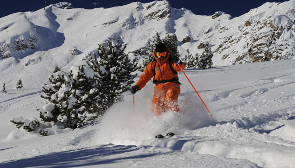
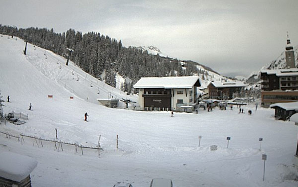
Here’s a brief survey of today’s webcam shots.
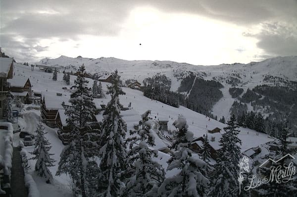
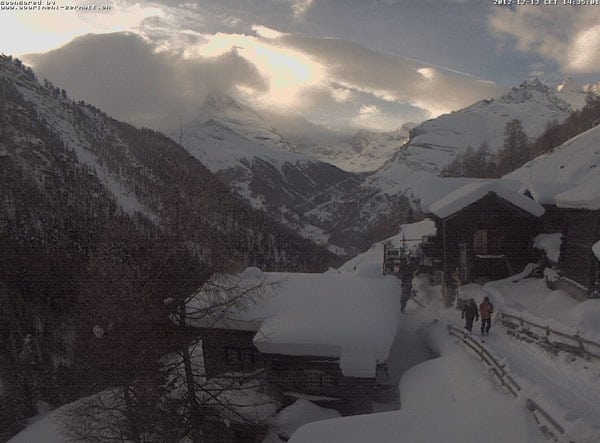
We’re now expecting another bout of wild weather. The skies have clouded over today, and a powerful weather front is due in from the west. Temperatures are about to jump. As you’ll see from our snow forecast, heavy snow is expected at altitude (along with high winds), but in the western Alps it may rain up to 2000m. That’s going to put a damper on the openings of several lower resorts which are due to start spinning their lifts for the first time on Saturday.
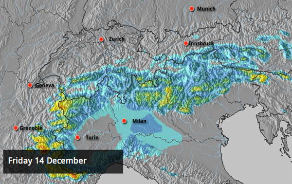
Fortunately, it’s going to get colder again on Sunday, and the freezing level will drop to 1000m on Tuesday. Hopefully, the snow cover lower down shouldn’t be too severely affected by the thaw. Nevertheless, if you want the best of the snow once the skies clear (probably on Wednesday) then you’ll need to aim high, and ski above the 2000m mark.
Up in Scandinavia, it’s expected to warm up, too. They’ll be glad of that, after a long period of chilly weather. Top temperature in Are, Sweden today was -11C on the mountain and -15C down by the lake. By the end of the weekend, it should be closer to 0C. Currently, 12 pistes are open in the resort.
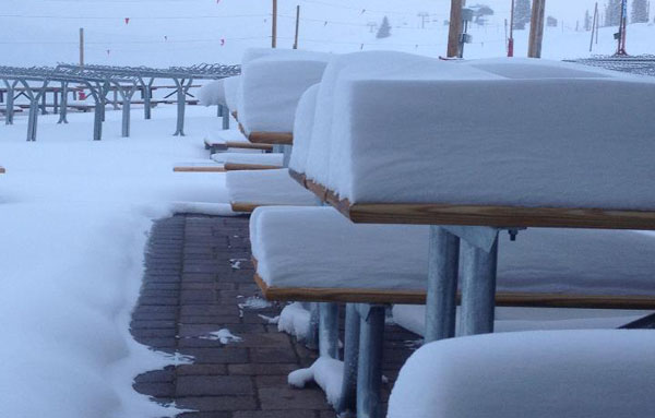
Meanwhile, across the Atlantic, the weather in the Rocky-Mountain resorts of America seems to have reverted to type after a mild and dry start to winter. In the last seven days Vail has had 50cm of snow, and Aspen and Breckenridge both report 45cm. Conditions have improved dramatically in all three as a result: although they still can’t match the cover north of the border in Canada. There, the weather has calmed down since the constant snowfall of November – but all the same Whistler boasts a mid-mountain snow pack of 158cm, and Lake Louise 91cm. Fernie reports 142cm of settled snow.
There’s been fresh now in California too – as this tasty little video from Heavenly demonstrates…
| France: Across the French Alps, resorts high and low are loaded with light, cold snow. But that’s going to change tomorrow when rain is expected below about 2000m. It won’t wash away all the snow lower down. But it will thin the cover and make it much heavier. So if you want good skiing, you’ll need to aim high once the skies clear (probably on Wednesday). Currently, the cover is exceptional for the time of year: Meribel reports 100-155cm of snow on-piste. Flaine has 155cm of snow on its higher pistes. Tignes reports 92-185cm. | |
| Switzerland: There’s great early-season cover across the Swiss resorts – although the thaw of the next couple of days is going to spoil the party somewhat at lower altitudes. Aim high in the wake of the storm to get the best snow. Verbier currently has 135cm of settled snow, mid-mountain – but there’s deeper snow further north. Above Engelberg there’s 198cm of snow mid-mountain, and Andermatt reports 100-380cm of snow on its slopes, depending on altitude. | |
| Austria: Generally Austria hasn’t had quite as much snow this as France or Switzerland, but it’s still in good shape, given the date. Lech currently reports 100-130cm of snow on its slopes. In high-altitude Obergurgl there’s 78-175cm of settled snow. Lower down, in the Skiwelt, the snow is 65-105cm deep. The country is unlikely to see the rain that’s due to fall further west, but temperatures will rise tomorrow. | |
| Italy: Good news for Canazei, Selva, and the other resorts of the Dolomites: there should be widespread snow tomorrow. It won’t be heavy, but it will refresh the pistes. Further west, Cervinia reports 140cm of snow, mid-mountain. | |
| Andorra: Andorra’s ski season is on. The Grand Valira and Vallnord ski areas are both now open, and are expecting more snow this week. Currently, Grandvalira reports 30-90cm of snow on 170km of open pistes. | |
| Western USA: See our main report. Conditions are improving in the Rockies. Jackson Hole, Wyoming, currently has a mid-mountain snowpack of 110cm, and Snowbird in Utah 114cm. Despite the recent snowfall, Vail has some catching up to do – it reports a settled base of 45cm. In California, Heavenly reports a base of 75-134cm on its slopes. | |
| Western Canada: Western Canada still has the best conditions across the Atlantic. Whistler has the deepest cover – 158cm, mid-mountain – and the resorts of Banff National Park the most consistent temperatures. In the Canadian Rockies, Sunshine Village has had 30cm of snow in the last week and reports a settled snow base of 121cm. |


The snow is DEEP. But there’s a couple of days of wild, warm and windy weather in the Alpine forecast. https://t.co/dLwGU50D