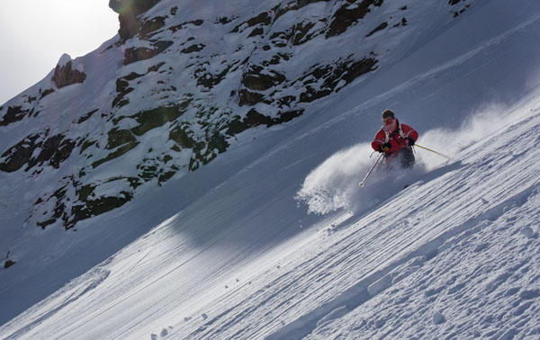
Let’s hope everyone’s wrapped up warm today – because it’s just got a lot colder in the Alps. A big lump of cold air has drifted in from the east, and the top temperature today in Tignes isn’t expected to rise above -6C, even in the sunshine. Tomorrow, it won’t get above -8C.
All the same, February half-term skiers of all ages will be lapping up the snow. Regular readers of our snow report will know that February 2013 has (unlike January) been an excellent month in the Alps, with consistently cold temperatures, and lots of fresh snow, especially across the northern half of the region. It’s been a great week to be out on skis.
Off-piste, the snowpack has now settled, and the avalanche risk is fairly low. In the French Alps, MeteoFrance’s avalanche service reports that the snow on south-facing slopes is rather crusty – and of course the most popular routes have been heavily skied since the last significant snowfall, on February 14. In Austria, however, there was a top-up, overnight: the Tirol’s avalanche service reported 5-10cm of fresh snow this morning.
On piste, the cover is good pretty much everywhere, although the most popular runs are becoming more hard-packed as the week progresses.
The Alpine snow forecast favours Italy
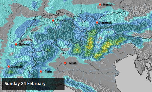
When’s the next top-up of snow coming? In the short term, the snow forecast favours the Italian resorts, with Sunday’s forecast looking promising for the southern and western Dolomites. 20-30cm is expected in places. This will come from a low-pressure system piling in from the gulf of Genoa, so there’s the potential for a retour d’est over French resorts near the Italian border, too. This kind of weather is hard to predict with precision, however, and currently the snowfall there doesn’t look significant.
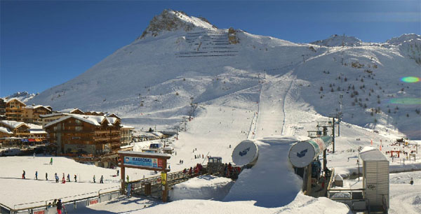
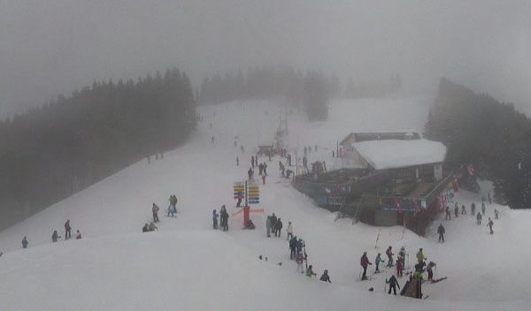
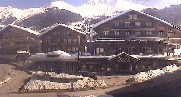
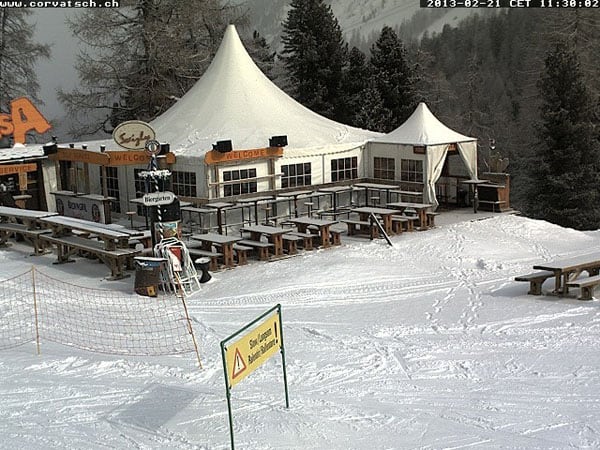
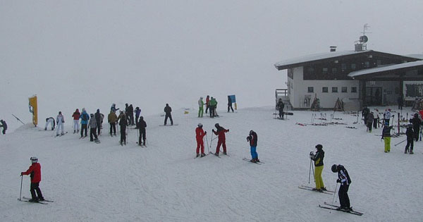
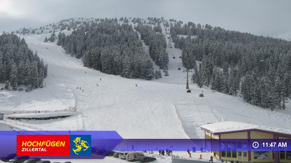
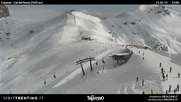
Here’s a selection of recent webcam shots and pictures from the Alps. As you can see, it’s generally sunnier in the west than in the east, although it is foggy in some lower French resorts.
Temperatures are dropping again in the Pyrenees
We reported in Monday’s snow report that the Pyrenees had been hit by a sharp thaw – with temperatures up to +10C at resort level in Andorra. Thankfully, it’s getting colder again, and some light snowfall is expected across the northern half of the range at the beginning of next week. There’s already a lot of snow on the slopes, thanks to the big storms of January and early February: but on all but the highest and shadiest slopes the quality will have been affected by the sudden jump in temperatures at the start of the week.
A little fresh snow in Scanadinavia
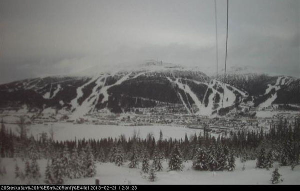
Up in Are, Sweden it’s an overcast day, but there is a little snow in the forecast: 1-5cm is expected. Above is how the Areskutan was looking today from across the lake.
More of the Right Stuff in the Rockies
In Colorado, the second half of winter is off to a much better start than the first. There was snow in many resorts on Valentine’s Day, and again at weekend and last night. There’s more in the forecast for Saturday night and Sunday, too. We’re not talking about massive dumps, but these regular top-ups are building a much improved snowpack for the spring months ahead. This morning, Breckenridge reported 13cm of new snow overnight, and 60cm in the last week. The settled snowpack is now 134cm deep, mid-mountain. Long may it continue!
There’s been fresh snow in California, too. Kirkwood – one of my favourite small ski resorts – had 20cm of snow on Tuesday, and Heavenly, nearby (home to some superb tree skiing) 15cm.
| France: see our main report. It’s cold today in the French Alps – but the snow is still in great nick, thanks to the storms of early February. You’ll need a guide now to find decent powder off-piste though – as it’s been a week since the last dump. Above Val Thorens the snow is now up to 170-345cm deep, and in Val d’Isere it’s 140-280cm deep. | |
| Switzerland: bright sunshine in the west, cloud and a dusting of snow in the east. That’s the general picture today. There should be more snow at the weekend. Currently, Andermatt has up to 120-420cm of settled snow, and dusting of overnight powder. Davos up to 89-173cm, with 6cm of fresh snow on top. | |
| Austria: there was light to moderate snowfall across Austria yesterday, and there’s more falling today. Currently, high-altitude Obergurgl has 99-225cm of snow, the Skiwelt 100-170cm and St Anton 85-250cm. | |
| Italy: see our main report. The snow’s not as deep as it is in the northern Alps, but there was a top-up last week in many resorts, and there’s more to come over the next four days. Over 30cm is expected in some Dolomite resorts. In the Dolomites, Selva reports 60-160cm of settled cover. Above the Aosta Valley, Cervinia has 60-205cm of settled cover. | |
| Andorra: see our main report. Andorra’s ski resorts have deep cover on their pistes, but the quality has been spoilt at lower altitudes by the recent thaw. Currently, the Grand Valira – Andorra’s biggest ski area – reports 140-250cm of snow on its slopes, and a top temperature of +4C at resort level. | |
| Western USA: See our main report. Conditions in many Rocky-Mountain resorts have again improved, thanks to fresh snow overnight, and there should be more at the weekend. In Utah, Snowbird the snow report talks of 190cm, mid-mountain; in Jackson Hole in Wyoming that figure is 137cm, and in Vail, Colorado 96cm. Meanwhile, above Lake Tahoe in California, Heavenly reports 106cm of settled snow. | |
| Western Canada: Whistler is waiting for the first significant storm for some time. Friday and Sunday look promising with up to 30cm in the forecast. Mid-mountain, the cover is currently 187cm deep. Fernie reports 22cm of snow in the last week and a settled snowpack of 229cm. Above Lake Louise the snow is 145cm deep, mid-mountain. |


Is it my imagination, or does the snow usually come good for February half-term in the Alps? https://t.co/1SMOIKZwo8
RT @welove2ski: Is it my imagination, or does the snow usually come good for February half-term in the Alps? https://t.co/1SMOIKZwo8
RT @welove2ski: Is it my imagination, or does the snow usually come good for February half-term in the Alps? https://t.co/1SMOIKZwo8
It’s certainly cold in the Dolomites, with temperatures down to -10 degrees celcuis, and that’s out of the wind! There is another front coming through with snow tonight and up to 40cm’s over the weekend. Looks like conditions will be good right up until Easter!