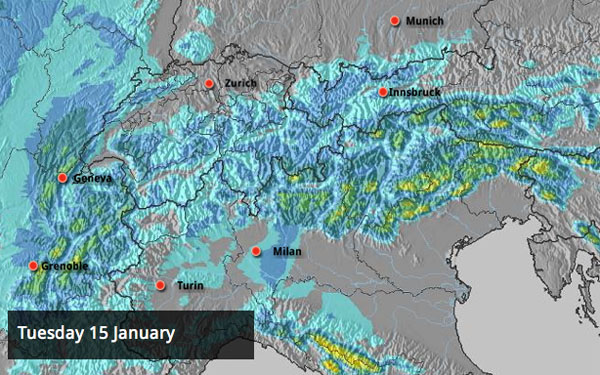
That’s more like it! Winter is wintry again. In the Alps, temperatures are low, there’s fresh snow on the slopes and more is in the forecast.
It’s due to stay that way for the rest of the week, too. One particularly interesting feature of the snow forecast over the next three days is how it’s favouring the Italian Dolomites. According to the Dolomiti Superski snow report, there’s already been 10-20cm of snow in places – and parts of the region could see over half a metre more before Thursday.
Don’t forget, this is on top of a rejuvenating dump which refreshed the snow across the northern Alps on Thursday night and Friday. Up to 50cm fell above Chamonix and Val d’Isere, although 30-40cm was more usual. France, Switzerland and Austria all benefitted. Significantly, the snow fell down to resort level in many places and refreshed the pistes on even the lowest runs. Higher up, the off-piste runs have been restocked with powder too, and the Tirol’s avalanche service reports that “In many places there is marvellous powder for superb skiing descents.” Clearly, someone there had a memorable weekend!
Here’s a wee taste of how the snow was this weekend in Val d’Isere, courtesy of the British ski school The Development Centre.
And here’s our Meribel blogger, Alf Alderson, soaking up the superb conditions on Saturday.
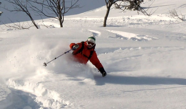
If you are planning to ski off-piste, then stick to the higher slopes whenever the weather allows – 30-40cm of snow doesn’t create bottomless powder, and lower down your skis will quickly discover the crusty stuff left behind by the annoying thaw over Christmas and early January.
Here’s a quick survery of the day’s webcams and photos.
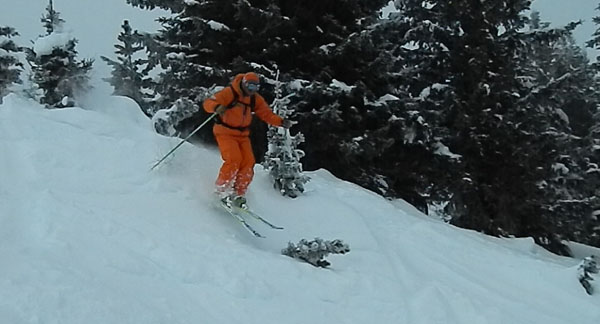
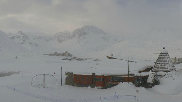
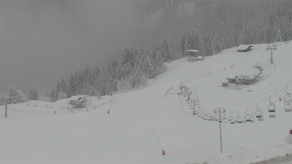
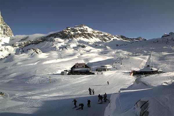
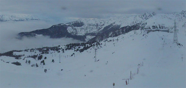
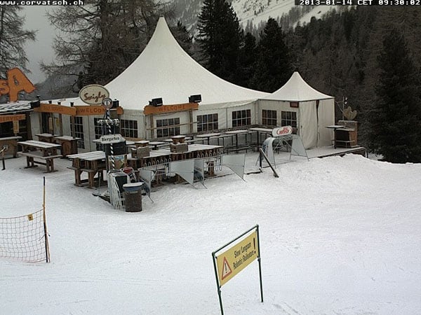
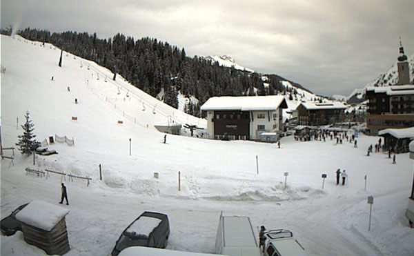
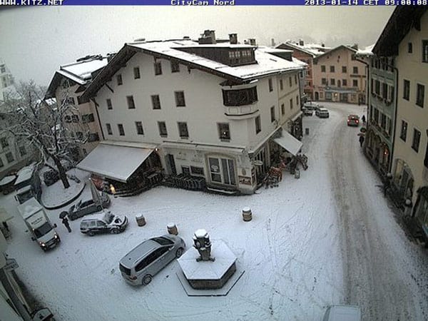
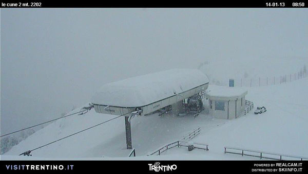
The weather will stay cold and snowy until the end of the week, with the freezing level down to an altitude of 400m midweek and just 100m on Friday. After that, there’s going to be a thaw, but not nearly as intense and probably not as prolonged as the one we saw over Christmas.
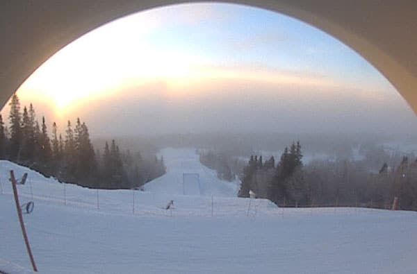
Up in Scandinavia, it’s wintry too. In Are, Sweden, the temperature is -8C at the bottom of the slopes and it’s due to get no higher than -10C tomorrow. Here’s how it was looking this morning.
Meanwhile, in North America, the outlook is mostly cold and sunny. That’s not good news for the Colorado resorts. They had a dusting of snow over the weekend, but generally the snowpack is a lot thinner than it should be for the time of year. Many resorts could do with a decent dump to improve the off-piste skiing.
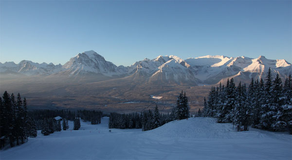
Elsewhere, the snow is deeper. The Californian resorts had a top-up of snow last week, as did Snowbird in Utah and Jackson Hole in Wyoming. However, conditions are best in western Canada at the moment, with many resorts reporting over half a metre of snow in the last week. Among them was Lake Louise in Banff National Park. There, the skies cleared on Saturday to reveal the resort’s eye-popping scenery…
| France: Hallelujah! The thaw is over, and if the mercury doesn’t rise above 0C again before mid-March, that’d suit us very nicely. 30-50cm of snow fell across the French Alps on Thursday and Friday, and there should be 20-30cm more tomorrow. The skiing surface has already improved dramatically, and the next dose of snow will further improve conditions. Above Val Thorens the snow is 120-210cm deep, and in Flaine it’s up to 100-295cm deep. | |
| Switzerland: As in France, the Swiss resorts are happy to see the back of the thaw. There was 30-40cm of fresh snow on Thursday and Friday in many places, and Andermatt and Engelberg are among those resorts who did best from the snowfall. Currently, Verbier has 75-230cm of snow on its slopes, Andermatt has up to 100-380cm, and Davos up to 60-129cm. | |
| Austria: There was 30-40cm of fresh snow across many Austrian resorts before the weekend – and there’s more to come this week, as the weather in the Italian Dolomites leaks across the border. Conditions, are much improved, especially in the lower ski areas, such as the Skiwelt. Currently, the Arlberg resort of St Anton reports 70-190cm of snow on its slopes, Obergurgl 85-190cm and the Skiwelt 50-130cm. | |
| Italy: Generally, there’s been less snow in the Italian Alps than the in northern half of the region this winter – but the Italian Dolomites are set for a good start to the week, with up to half a metre of the white stuff expected in places. Canazei has already had 10cm of fresh and reports up to 125cm of snow on its pistes. Above the Aosta valley, Cervinia has 65-135cm of settled snow on its slopes. | |
| Andorra: There’s been some much-needed new snow in the Pyrenees. Today, the Grand Valira – Andorra’s biggest ski area – reports 20cm of fresh snow on its upper runs. The high there will be -2C. At last – winter returns to the region! | |
| Western USA: California has some of the deepest cover in the west at the moment – there’s up to 269cm of settled snow at Kirkwood, for example. In Utah, Snowbird the snow report talks of 160cm, mid-mountain; in Jackson Hole in Wyoming that figure is 124cm, and in Vail, Colorado 53cm. | |
| Western Canada: western Canada had a good week, last week. Currently, the mid-mountain snowpack at Whistler is 199cm, and at Fernie it’s 235cm. Lake Louise has 149cm. |


Winter’s back in the Alps! And we LOVE it.
https://t.co/YdRvKuni
@paulcrago “@welove2ski: Winter’s back in the Alps! And we LOVE it.
https://t.co/PYy6kmoK” Get ya lips around this mate!
RT @welove2ski: Winter’s back in the Alps! And we LOVE it.
https://t.co/YdRvKuni
Snow Report, January 14 | Welove2ski https://t.co/bmDAuz4Z
That prediction isn’t just coinmg out of Mexico. Some indicators and reports are saying that global temperatures, rather than rising, have actually been falling for the last several years. A good site with daily links to various stories around the glob is Steve Milloy’s . When we can, we normally flee Arkansas during August, when temperatures get into the high 90s and low 100s for the entire month, with very high humidity. Last year, temperatures were consistently over 100 and the day before we left for an extended trip was 107.This year the first couple of days were hot, but since then temperatures have struggled to get out of the 70s. and it’s been raining. It never rains in August to this extent in Arkansas.