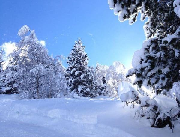
As anyone who read our January 17 snow report will know, last week was wonderfully wintry in the Alps – and the Pyrenees.
But since then, there’s been a hiccup. Across the northern half of the Alps, temperatures shot up on Saturday and Sunday, with the freezing level rising to 2000m in many places. As a result, a lot of the lovely, light powder snow off-pisters were raving about last week has become heavy and/or crusty. In the short term, you’ll need to migrate to the top of your lift system and stick to sheltered, north-facing slopes to find soft snow. You’ll also need to take great care over your avalanche safety drills – because the sudden thaw was accompanied by stormy, south and south-westerly winds. These have created a lot of dangerous cornices and slabs. As the Tirol’s excellent avalanche service points out, these slabs “have been deposited for the most part on top of loosely-packed fresh-fallen snow and are thus prone to triggering”. Be careful!
Fortunately, it’s not been warm for very long, and temperatures are now dropping back again to more wintry levels – which will help to dry out the snowpack at higher altitudes. There’s a bit of fresh snow in the Alpine snow forecast too, which will help refresh the skiing surface. All in all, it should be a decent week on the slopes. Just don’t expect conditions to be as sublime as last week’s.
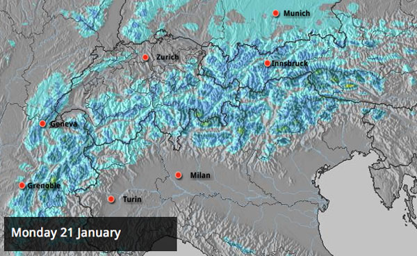
On the southern side of the Alps, it warmed up a bit at the weekend, too – but there was also a decent dump of snow in places. Madonna di Campiglio in the Brenta Dolomites reports 35cm, St Moritz in south-eastern Switzerland reports 30cm and Canazei, in the main Dolomites area, 10cm.
Here’s how the webcams are looking this morning.
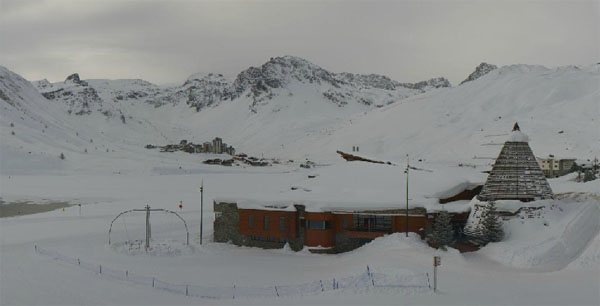
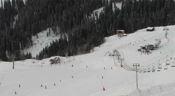
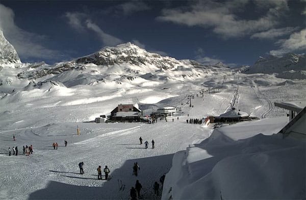
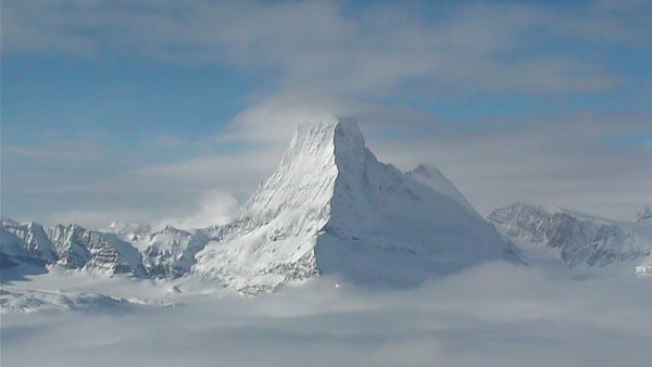
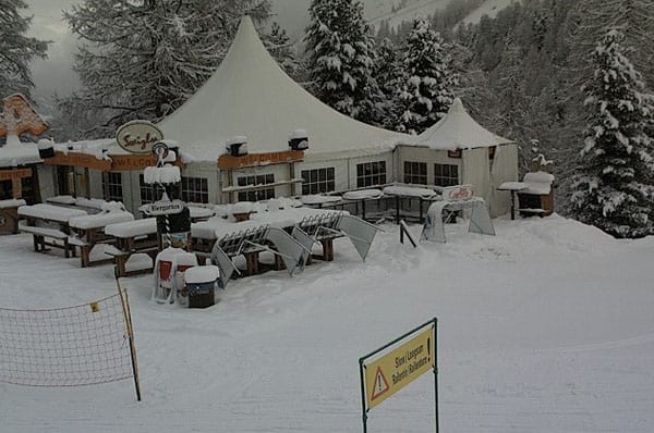
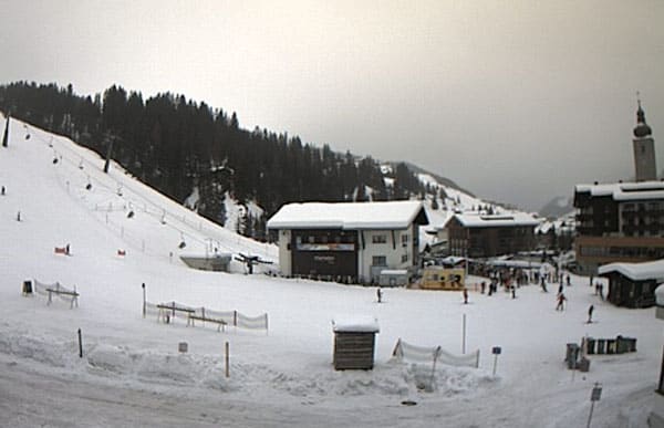
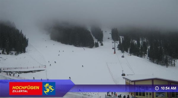
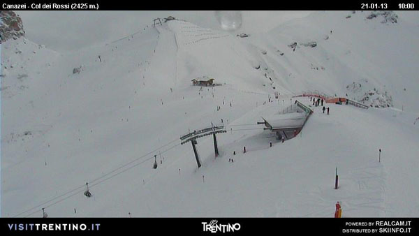
What lies ahead, as we approach the end of January? The mid-range forecasting models suggest continuing turbulence in the weather – and more snow. We will of course keep you posted…
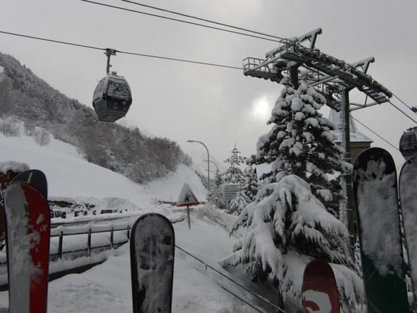
Meanwhile, in the Pyrenees, conditions have been even more erratic. After the massive dumps of last week, it suddenly became very warm and rained heavily on all but the highest slopes. Fortunately, it cooled down again quickly and there was snow on Saturday night. There’s more of the white stuff to come across the region again today.
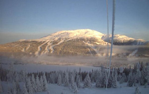
Up in Scandinavia, there’s been none of this thaw-freeze-thaw nonsense. It’s been wintry almost the entire season, and today is no exception. In Are, Sweden, the sun’s out, and it’s freezing cold – -20C down by the lake, and -13C up on the Areskutan, thanks to a temperature inversion. Provided you’ve got the right clothing, it should be a cracking day.
Over in the western resorts of the USA and Canada the ridge of high pressure which has dominated for a week finally looks to be breaking down. Two weather fronts are due in from the Pacific. The second, due in on Friday looks the more promising of the two. It will be colder than the first, and should push further inland, bringing snow not just to the likes of Whistler in BC and Heavenly in California, but also to the Rocky-Mountain resorts of America. In Colorado in particular, it’s sorely needed.
| France: see the main report. Last week conditions were superb across many French resorts. They’re still good – but the weekend thaw has left the off-piste snow a little crusty and/or heavy at lower altitudes and the pistes icy where there’s been lots of traffic. The drop in temperature and dusting of fresh snow should improve matters, particularly on-piste. Snow depths remain excellent at altitude. Above Val Thorens the snow is 140-240cm deep, and in Flaine it’s up to 98-318cm deep. | |
| Switzerland: as in France, many Swiss resorts felt the effect of strong winds and a rise in temperatures over the weekend. However, in the south east – in St Moritz especially, there was a decent dump of snow. Currently, Verbier has 90-225cm of snow on its slopes, Andermatt has up to 91-400cm, and Davos up to 58-128cm. | |
| Austria: the thaw has made its presence felt in Austria too – though temperatures will be dropping back this week, and there’s a little fresh snow in the forecast. High-altitude Obergurgl has 91-204cm of snow, the Skiwelt 55-125cm and St Anton 65-180cm. | |
| Italy: There’s been fresh snow at altitude in many Italian resorts over the last week. In the east, Selva reports 50-125cm of settled cover. Above the Aosta Valley, Cervinia has 50-205cm of settled snow on its slopes. | |
| Andorra: See our main report. It’s been an extraordinary week in the Pyrenees – heavy snow, followed by rain, followed by more snow. Currently, the Grand Valira – Andorra’s biggest ski area – reports 80-160cm of snow on its slopes. | |
| Western USA: They could do with some more snow in the western resorts of the US. A week of sunny weather has turned increasingly mild, and the skiing surface needs refreshing. Fingers crossed that the weather front due in at the weekend delivers. Currently, Kirkwood, California claims up to 260cm of settled cover. In Utah, Snowbird the snow report talks of 147cm, mid-mountain; in Jackson Hole in Wyoming that figure is 119cm, and in Vail, Colorado 53cm. | |
| Western Canada: There was a little fresh snow blowing around the Canadian Rockies last week, but here too the weather was pretty quiet by the usual standards. Currently, the mid-mountain snowpack at Whistler is 180cm, at Fernie it’s 185cm. Lake Louise it’s 144cm. |


Goodbye and good riddance to the warm hiccup of weather in the Alps at the weekend. https://
https://t.co/DRcSqTNz
RT @welove2ski: Goodbye and good riddance to the warm hiccup of weather in the Alps at the weekend. https://
https://t.co/gcZ2rFCN
RT @welove2ski: Goodbye and good riddance to the warm hiccup of weather in the Alps at the weekend. https://
https://t.co/DRcSqTNz