With impeccable timing a band of snow has swept across the Alps, and deposited 10-50cm of the white stuff across the region. As the weather front moves off to the east, the skies are clearing, too.
In other words, the sun’s out, there’s a fresh blanket of snow on the ground, and the busy half-term week is off to a flying start.
Here’s how it’s looking in Les Deux Alpes this morning. There’s 40cm of fresh snow on the ground, and the settled snow is 45-190cm deep across the resort.
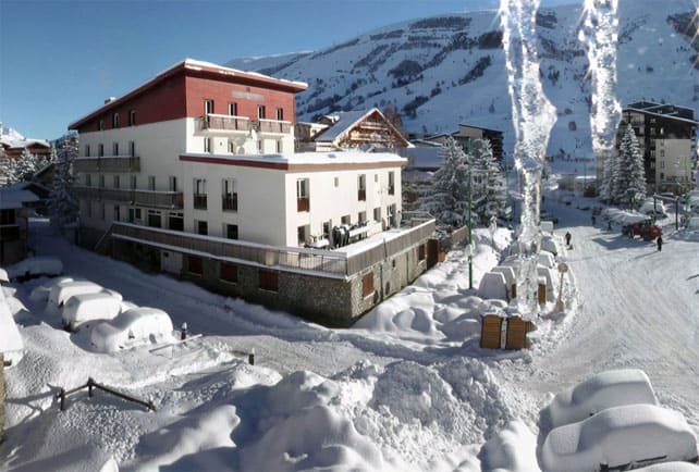
Below, is the scene in Serre Chevalier, which claims 30-50cm of fresh snow, and settled snow depths of 135-295cm, depending on altitude.
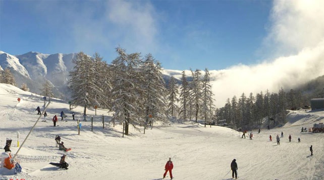
Below is the scene in Tignes, which claims 25cm of new snow, and snow depths of 130-210cm.
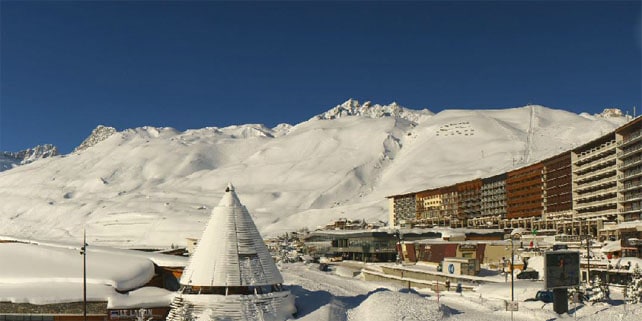
Below is Meribel, in the Three Valleys, where there’s 25-30cm of new snow in the wake of the storm and settled depths are 117-149cm.
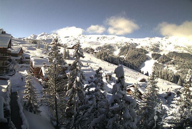
Below was the scene first thing this morning in St Martin de Belleville as seen by Helen Raemers of The Alpine Club.
Below is the centre of La Clusaz. The snow report there claims settled snow depths of 65-230cm.
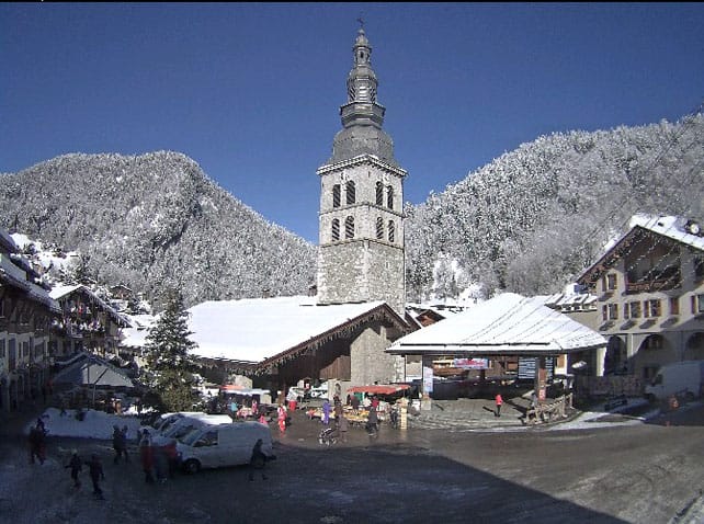
Pictured, below, is Cervinia, where the snow is 190-300cm deep.
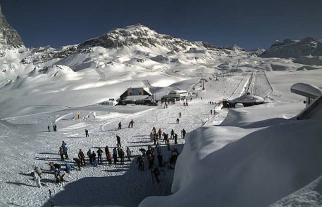
This is Verbier, where settled snow depths are 80-175cm deep.
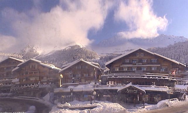
Below is St Moritz, where there’s 30cm of fresh snow, and the cover is 140-189cm deep.
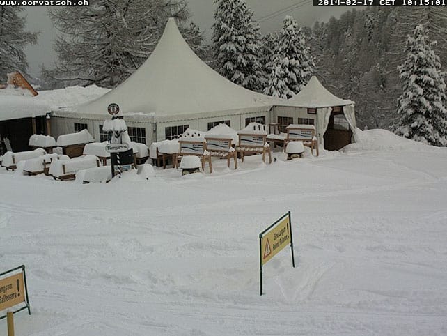
This is Obergurgl, where’s there’s 25cm of new snow this morning, and the settled cover is 85-182cm deep.
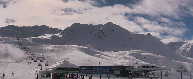
This is Alpbach in the Ski Juwel ski area, where there’s 20cm of new snow, and the cover is 30-120cm deep.
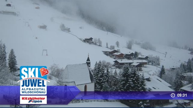
And finally, this is San Cassiano in the eastern Dolomites, where there’s 180-310cm of cover. It’s still snowing here too.
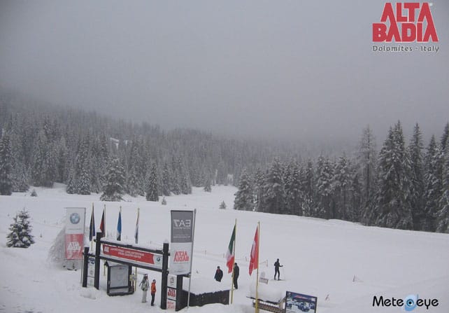
However, it’s worth noting that today will probably be the best day of the week for skiing. According to French forecasters Meteo Chamonix, temperatures are going to rise this afternoon and tomorrow, and by tomorrow afternoon the freezing point will be at 2400m. Fresh bands of snow are due in on Wednesday and Friday (along with a drop in temperature), and it looks as though the weather won’t settle down again until the weekend. If you’re out in the Alps at the moment, enjoy the sun while you can!
One final thing: take care if you’re heading off-piste. In many areas, the risk is considerable (3/5). Check local conditions carefully, make sure you’re properly equipped, and hire a guide.
At last, western Canada gets a proper dump
By their usual exalted standards, the resorts of western Canada had a dry first half of the season. But there’s been a significant change in the weather this week, as you’ll see from this snatch of video from Revelstoke, British Columbia, on Thursday.
The resort reports 113cm of snow in the last seven days. Whistler has done well too, reporting 108cm over the same period, and Fernie has clocked up 70cm. More snow is expected this week.
Meanwhile, south of the border in Wyoming, Jackson Hole reported 28cm of fresh snow at the start of the weekend, bringing its season total to 795cm of snow so far. According to its graph of super-snowiness, Breckenridge, Colorado is in second place with 779cm so far.
Here’s how Jackson Hole looked yesterday.
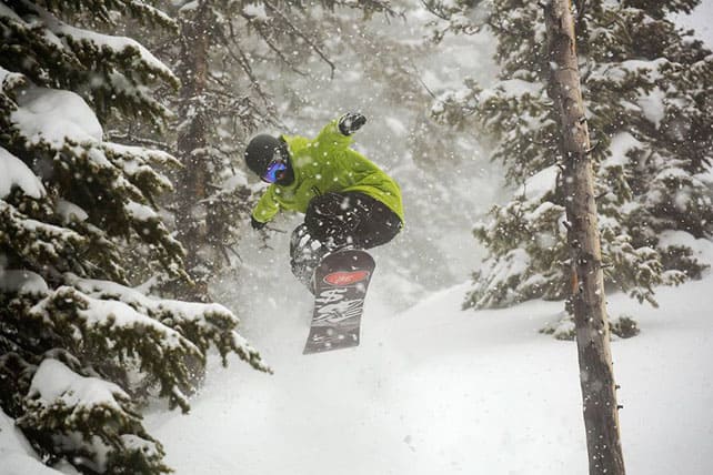
And here’s last Friday’s video from Breckenridge.
More snow is expected parts of the American Rockies on Wednesday. Colorado and the northern half of the range should see moderate accumulations. In Utah, the snow will probably be lighter.
| France: see our main report. The snow is in fantastic condition today, and there’s plenty of it, too. But it will be getting wetter and heavier below the 2000m mark as the day progresses. There’ll be more snow in the second half of the week. Currently, Val d’Isere reports 130-197cm of settled snow on its pistes, Val Thorens 120-220 and Montgenevre 180-230cm. | |
| Switzerland: as in France, conditions are superb this morning in most Swiss resorts. Currently, little Andermatt has cover 90-400cm deep on its slopes. Meanwhile, in the west, Verbier reports cover 80-175cm deep, and in the north Laax has snow 30-145cm deep. Most resorts in the Swiss Alps should see more snow over the next four days. | |
| Austria: There’s been fresh snow across much of Austria, and it hasn’t cleared yet. Thankfully, after rain on Sunday, the snow level dropped right down to the valley floor, even in the low-lying resorts of the north. Currently, the Skiwelt reports cover 35-65cm deep. By contrast, in Nassfeld in the south, the snowpack is 180-420cm deep. Meanwhile, in the west St Anton reports 64-145cm of settled snow on its pistes. | |
| Italy: regular followers of our snow report will know just how much snow the Italian resorts have had this winter – and little Madesimo now has a settled snowpack 300-500cm deep. Elsewhere it’s not quite so thick, but still way above average. Madonna di Campiglio, for example, has cover 240-270cm deep. In the east, Canazei the settled snow is 95-275cm deep, on-piste. | |
| Andorra: it’s a great day to be skiing in the Pyrenees, too. Currently, Soldeu and Pas de la Casa in Grandvalira report 120-230cm of settled snow on their pistes. Across the border in Baqueira in Spain, the cover is 215-305cm deep. | |
| Western USA: last week was a mild one across the resorts of the American west. It will continue that way until Wednesday when a cold front moves down from the north-west and brings more snow to some – but not all – parts of the region. Snow depths are more than healthy at the moment. In Wyoming, Jackson Hole has 226cm of settled cover, mid-mountain, Breckenridge in Colorado has 231cm, and in Utah, The Canyons reports 193cm. | |
| Western Canada: see our main report. The Snow Gods have made a welcome return to the region, although not every resort has benefitted yet from the change. Whistler reports 108cm in the last week, and 200cm of settled cover mid-mountain, but Sun Peaks only 29cm and 123cm of settled cover. In Banff National Park, Lake Louise has had 37cm of new snow in the last week and reports 148cm of settled cover. |


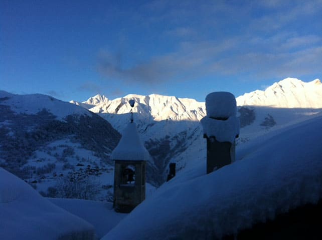


Fresh snow and bright sunshine in the Alps: what a start to half-term week! https://t.co/0ZAjGLfObp
https://t.co/GC1TvL2S4K @muirgrrrrr
A flying start for the half term #holidays @welove2ski https://t.co/ushMQL4Llq 80-175cm of fresh snow #verbier https://t.co/X9brKwFCWa