


Happy new year Snowfiends! May all your turns in 2014 be on the finest snow…
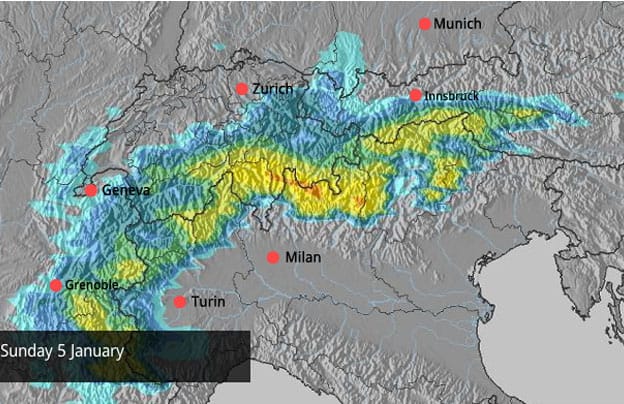
And in the meantime, feast your eyes on the Alpine snow forecast for Sunday.
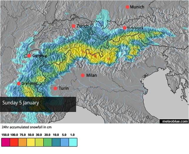
In fact, there’s snow forecast in the Alps for each of the next five days – thanks to three separate weather fronts that are set to hustle through the region by Monday. The last of them, due in on Saturday afternoon, is likely to be the most productive, but moderate accumulations are also expected today in the western Alps as a result of today’s storm.
Overall, the southern French and Swiss resorts, as well as those in Italy, will probably get the lion’s share of the white stuff: the effect will be quite similar to that of the Christmas storm.
There are two other features to note about this turbulent spell of weather.
1. It won’t be particularly cold. French forecaster Meteo Chamonix notes that the rain/snow line is going to be yo-yoing about, and only above 2000m will there be continuous snowfall. This is going to reinforce the contrast between current conditions at altitude – where the snowpack is fairly deep in most regions – with those below about 1600m, where it’s still quite thin. If you’re looking for top-quality conditions in the wake of these storms, ski at the top of your lift system.
2. There’ll be strong winds at altitude – sometimes from the south, sometimes from the west – which means deep drifting and the formation of poorly-bonded wind-compacted slabs. In other words – a renewed risk of avalanches. Extreme caution will be needed if you’re tempted to venture off piste. If you do, consult local avalanche bulletins, hire a guide and make sure you all have avalanche transceivers, shovels, probes, mobile phones and first-aid kits – and are trained in their use. There has a been a heavy toll of avalanche fatalities in recent days. Stay safe!
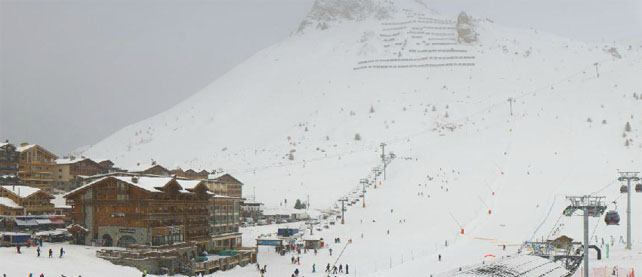
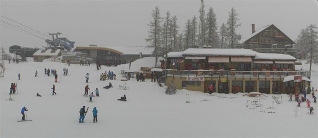
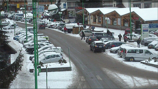
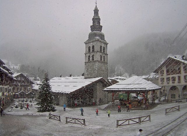
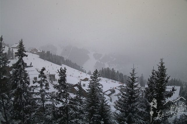
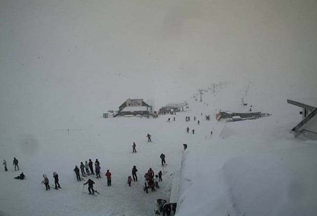
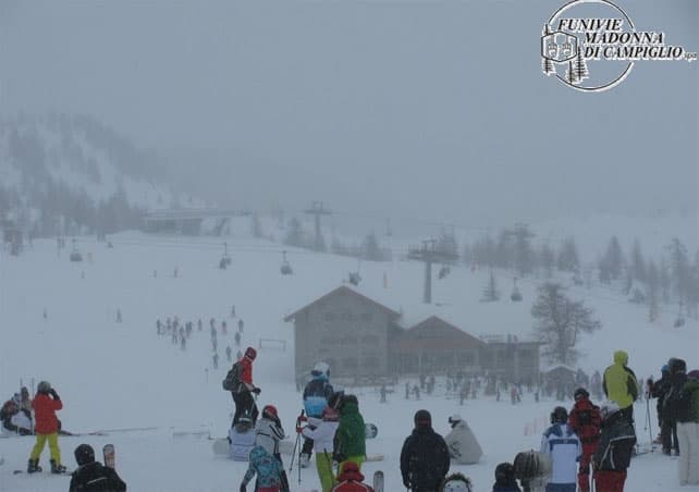
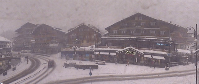
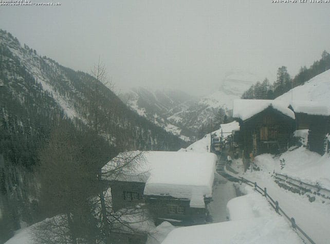
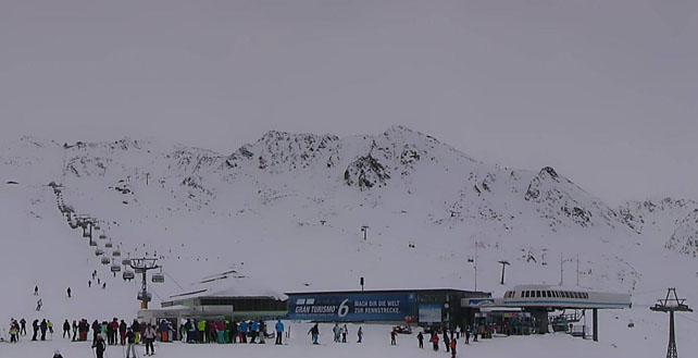
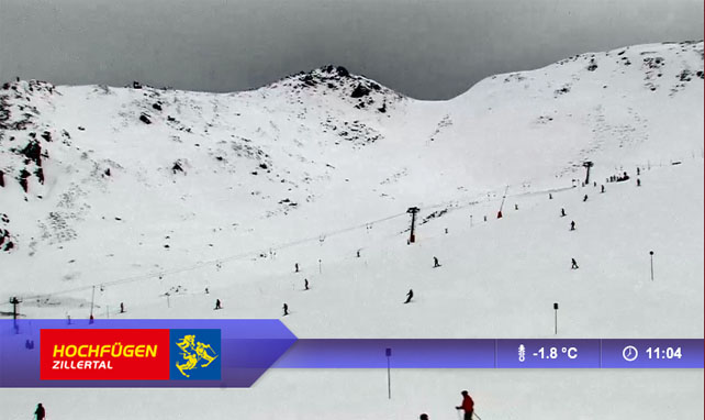
Here’s a quick survey of today’s webcams and Facebook shots.
In the Rockies, some resorts get lucky…again
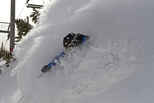
In the American Rockies the pattern of recent days has been reinforced, with more snow in the northern states and the more northern and eastern resorts of Colorado. Yesterday, Jackson Hole in Wyoming reported 18cm of fresh snow. In Colorado, Winter Park and Steamboat in Colorado both had 20cm and Breckenridge 18cm – adding to the snow they got at the weekend. Here’s the video they shot in Breckenridge by way of celebration.
Further south and west there was less snow. The Utah resorts had just a dusting, while in California the agonising snow drought continues.
| France: Conditions in the French Alps have been transformed by the snow since Christmas – and they’re likely to improve further over the next four days. Bear in mind however, that cover is thin at lower altitudes, and Michael Schumacher’s terrible accident has reminded us all that there are still plenty of rocks to watch out for off-piste. The avalanche risk is still considerable too – and it may rise as a result of the new snow. Be cautious and be safe, if you’re venturing off the groomed pistes. Currently, Alpe d’Huez has 58-210cm of settled cover, on-piste, Val d’Isere has 62-103cm, Val Thorens has 90-135cm. | |
| Switzerland: Swiss resorts near the Italian border are expecting more heavy snow over the next four days – which is likely to raise the avalanche risk once more. Generally speaking, conditions have improved dramatically over the last nine days. In Andermatt the snow report records 65-350cm of settled-cover, on-piste. Elsewhere, Laax the settled cover is 30-140cm deep, in Davos it’s 25-75cm deep and in St Moritz it’s 86-132cm deep. | |
| Austria: Snow depths are quite varied at the moment in Austria. At altitude, near the Italian border, the snow is deep. In Obergurgl for example, the settled cover is 75-167cm. The snowpack on the Stubai Glacier is up to 210cm deep, too. Further north, and in the lower resorts, it’s much thinner. For example, in the Skiwelt it’s 20-40cm deep. Here, less snow is expected over the coming days than in the resorts further west and south. | |
| Italy: The snow is deep in many resorts in the central and western Italian Alps. Currently, above the Aosta Valley Cervinia reports 80-160cm of fresh snow, and in Madesimo it’s even deeper, thanks to over 2m of snow at altitude from the Christmas storm. Further east, in the Dolomites, there’s 30-80cm for snow above Canazei, and up to 140cm on the slopes above Moena. | |
| Andorra: Thanks to heavy snow in November, the Pyrenees got off to a cracking start to the season – and the heavy snow at Christmas has left them in excellent shape for the rest of the holidays. In Andorra, Grandvalira currently reports 90-170cm of settled snow, on-piste. | |
| Western USA: See our main report. Colorado has had several top-ups of snow, which have been significant in the north and east of the state. California and the Pacific Northwest remain short of snow and are looking forward to a fundamental change in the weather. Currently, Breckenridge has 119cm packed down, mid-mountain, Snowbird has 114cm, and Jackson Hole 104cm. | |
| Western Canada: There were hopes of a big storm in Whistler at the end of the week. But these have now receded. Light to moderate snowfall is expected instead, and the mid-mountain snowpack is 89cm deep – rather modest by the resort’s exalted standards. Elsewhere, Lake Louise in Banff National Park reports 9cm of new snow over New Year and a mid-mountain snowpack of 90cm. Revelstoke reports 2cm of fresh snow and a mid-mountain snowpack of 135cm. There should be more snow in the Canadian Rockies over the next two days. |


There’s snow falling in the western and southern Alps today – and a big dump is expected at the weekend, too. https://t.co/lQO6K8zsCz
“@welove2ski: There’s snow falling in the western Alps today – and a big dump is expected at the weekend, too. https://t.co/kx0clr0z4r”
woo hoo ! “There’s snow falling in the western and southern Alps today – and a big dump is expected at the weekend. https://t.co/sAXHcsd0Uj”