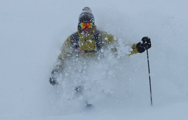
The forecast was spot on. The snow came yesterday and it’s been falling heavily across the Alps ever since. I’m writing this on Monday afternoon and in places the accumulations are now significant. In Serre Chevalier, Mel Crosby of Eurekaski says she hasn’t seen snow this heavy for maybe five years. “The snow is waist deep on-piste at 1900m,” she reports. In France, Les Deux Alpes has 60cm in the town and more up top. Courmayeur reported 60cm this morning – and more has fallen since then.
Alf Alderson, our Meribel blogger, reported having to wade through the white stuff when he was walking the dog this morning – though totals here don’t quite match those in the likes of Serre Chevalier and Les Deux Alpes (the tourist office reckons about 40cm so far).
So far, it’s the resorts of the south-west that have had the most snow: but it’s been spreading east. In the Brenta Dolomites, Madonna di Campiglio has had about 40cm of fresh so far. St Moritz in Switzerland reports 40cm in the valley, and more up top. Corvara in the Alta Badia reports on 30-40cm at village level.
Advertisement
The snow has eased up a bit in the west now. But according to our snow forecast there’s more to come overnight and into tomorrow. Increasingly, however, it’s in the northern half of the Alps that it will continue to fall. After tonight, the Italian resorts will be mostly dry.
We’ve heard from the instructors at the New Generation ski school in La Tania that the snow is heavy on the lower slopes, but it’s cold higher up, so there should be plenty of powder about when the skies clear.
Needless to say, this is exactly what the Alps need in the run-up to Easter – especially after the sharp thaw of early March. Here’s a survey of today’s webcams and photos.
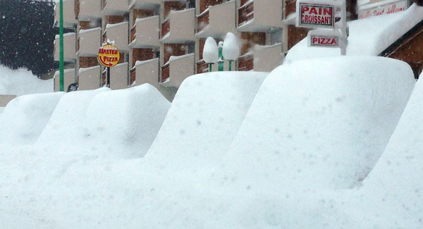
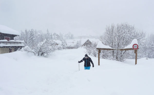
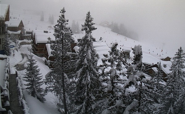
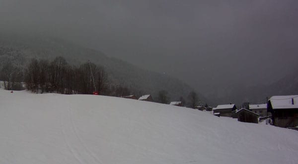
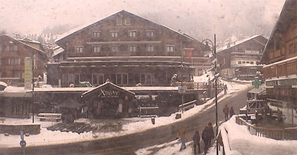
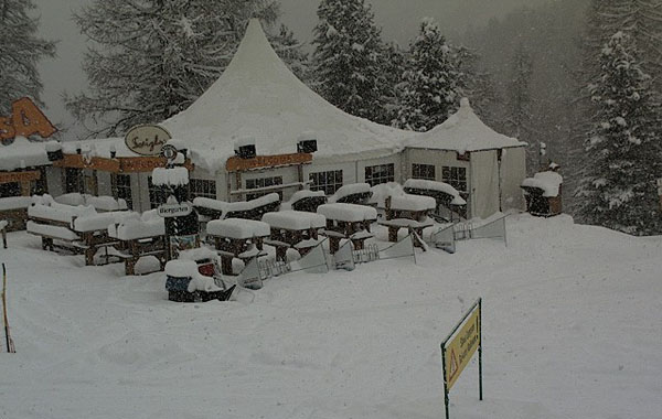
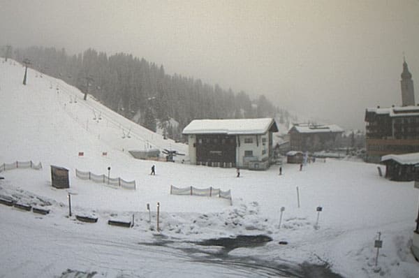
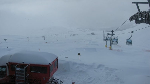
The immediate outlook is for the cool (but not frigid) temperatures to continue until Friday, along with snow showers across the northern Alps. Then the skies are due to clear and temperatures will rise. We’re not expecting a sharp thaw, in the short term, at least: but the freezing point will rise steadily, and the strengthening sun will make the cover wet on south-facing slopes. You need to ski the snow as soon as possible if you want to enjoy it at its best (paying close attention, of course to the considerable avalanche risk).
In Scandinavia, it’s been cold and clear
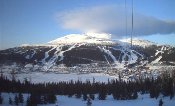
It’s been a cold winter in Scandinavia, and the trend looks to set to continue. In Are, Sweden daytime temperatures well below freezing, despite the sunshine – even at the bottom of the lifts.
In the American Rockies, spring has turned back to winter
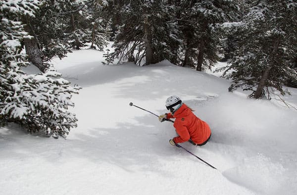
After a balmy end to last week, the weather has turned wintry again in the American Rockies. Breckenridge in Colorado has had 15cm of fresh snow in the last two days, and is expecting a high of just -4C today. Jackson Hole in Wyoming has had a similar amount. More of the white stuff is expected this week, from Thursday – with the Canadian Rockies, Montana, Wyoming and northern Colorado set to get the lion’s share.
| France: see our main report. It’s been snowing hard in the French resorts, and there’s going to be more this week. What’s more, the next bit of mild, spring-like weather isn’t due until Friday. In Val Thorens the snowpack is currently 150-340cm deep. In Flaine the snow’s 76-370cm deep. Today’s high was -6C. | |
| Switzerland: Switzerland hasn’t seen as much fresh snow as France, and it’s not as cold either. However, there are significant amounts of snow piling up in the southern resorts. St Moritz is doing particularly well – and reports 40cm of fresh snow in the valley, with more higher up. Currently, Engelberg has 42-472cm of settled snow on its pistes, and a temperature of -3.2C at 1800m. In Davos it’s +1C in town and the snow is 60-154cm deep. | |
| Austria: the snow’s only got going properly today in Austria, so accumulations aren’t as significant as they are elsewhere. However, there is more to come this week. Currently, high-altitude Obergurgl has 75-199cm of snow, and a high of -3C, and St Anton 65-220cm. | |
| Italy: there’s been plenty of snow across the Italian Alps in the last 24 hours – although it will ease off tonight. Canazei reports 45-185cm of settled cover, with 20cm of fresh snow this morning. Above the Aosta Valley, Cervinia has had 40cm of fresh snow and reports 95-290cm of settled cover. | |
| Andorra: it was mild and sunny in Andorra today. The Grand Valira – Andorra’s biggest ski area – reported 140-250cm of settled snow on its slopes, and a temperature of +3C at resort level. | |
| Western USA: see main report. The weather has cooled down considerably in the Rockies and there was light to moderate snowfall over the weekend. More significant accumulations should result from the weather front due in on Thursday in the more northern resorts. In Utah, Snowbird the snow report talks of 203cm of settled snow, mid-mountain; in Jackson Hole in Wyoming that figure is 150cm, and in Breckenridge, Colorado 157cm. Meanwhile, above Lake Tahoe in California, Heavenly reports 122cm of settled snow. | |
| Western Canada: Whistler reports 15cm of fresh snow and a mid-mountain snowpack that’s 262cm deep. It’s cooler than it has been recently, too. Inland, the Rockies are having a snowy March, and there the temperatures are still pretty wintry. In beautiful Lake Louise there is 8cm of fresh snow today, the snowpack is 176cm deep mid-mountain, and the high today will be -8C. |


Powder days are here again…we’ve got lots of pix of the fresh snow in the Alps in our latest Snow Report. https://t.co/6MSorxwXIV
RT @welove2ski: Powder days are here again…we’ve got lots of pix of the fresh snow in the Alps in our latest Snow Report. https://t.co …
RT @welove2ski: Powder days are here again…we’ve got lots of pix of the fresh snow in the Alps in our latest Snow Report. https://t.co …