First of all – be safe, Snowfiends. The grim tidings from the Alps and the Pyrenees have reminded us all of the risks we face when head into the mountains each winter. A string of avalanche accidents since Boxing Day in Andorra, France, Switzerland, and Italy have left 12 dead at the latest count. And the world is waiting on tenterhooks for the latest news of Michael Schumacher, who’s in a critical condition in a hospital in Grenoble – after he fell and suffered a severe blow to his head while off-piste in Meribel.
Please err on the side of caution if you’re heading to the slopes – and don’t forget your ski helmet.
The avalanche risk is still considerable, off-piste
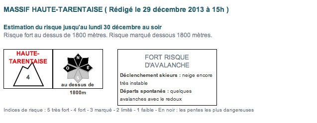
Of course, after a long period of dry weather in the Alps, the arrival of heavy snow over Christmas was bound to tempt skiers and snowboarders off-piste. But two factors have combined to trigger the terrible sequence of avalanche accidents since December 26. First, is the sheer weight of numbers in the mountains at the moment, thanks to the Christmas holidays. The second is the unstable nature of the snowpack. Before the Christmas storm there were warnings that it was unusually unstable – and the strong winds that accompanied the snow have added to the risk, creating poorly-bonded wind-packed slabs.
Over the weekend there was more snow – adding up to 30cm of extra snow across the region – and instability is still a feature of the snow cover off-pitste. In many places the avalanche risk is reported to be considerable (3/5). In the Haute Tarentaise – home to the resort of Val d’Isere, among others – it is currently 4/5, which means that off-piste skiing is pretty much out of the question.
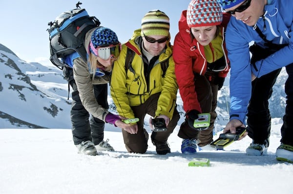
Given the numbers of skiers in the mountain at the moment, a lot of the popular off-piste runs have been worn down to moguls. But all the same, extreme caution should be exercised, especially if you’re venturing off the beaten track. Hire a guide, make sure you’re properly equipped and read both the regional and local avalanche bulletins yourself. You should read William Carey’s avalanche story too. Be safe!
On piste, the conditions have improved dramatically
Meanwhile, on the pistes, the skiing has improved dramatically since this time last week – thanks to the Christmas storm and the top-up at the weekend. Some resorts were hit hard, especially along the Italian border with France, Switzerland and Austria. For example, little Madesimo in Italy received 150cm of snow at village level and more than two metres higher up.
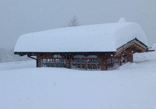
But even away from the eye of the storm, many resorts have had half a metre or more of snow, and this has done wonders for the cover on the groomed pistes – at all altitudes. It’s worth remembering, however, that the snow was very thin on the lower slopes before the storms, and also that there have been times when it rained as well as snowed. What’s more, for most of the week, the freezing point is expected to hover between 1400 and 2000m. So you should aim high to find the best-quality skiing surface.
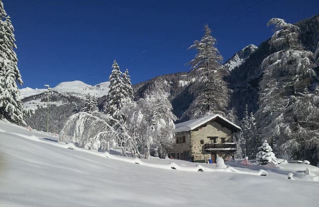
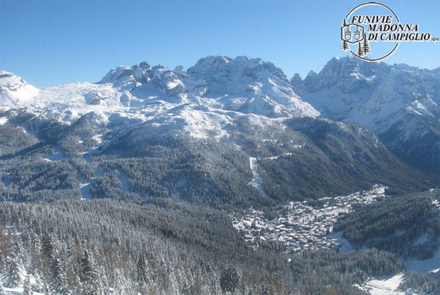
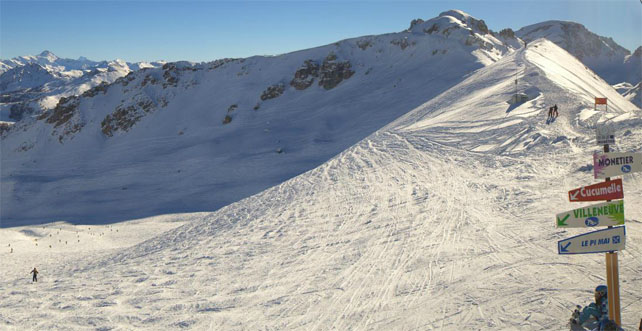
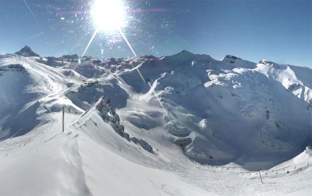
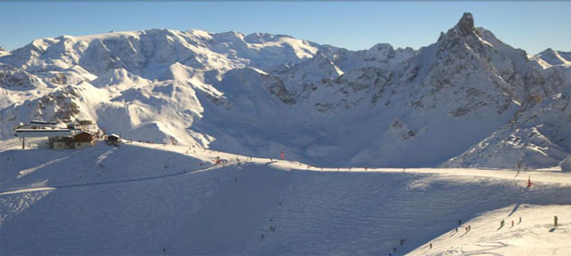
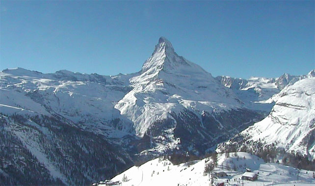
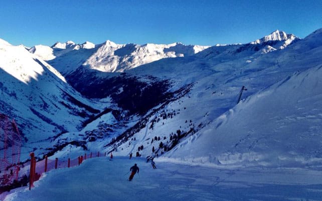
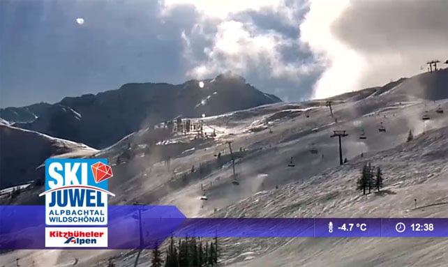
Here’s a brief survey of the day’s webcams and Facebook pictures: as you can see, it’s a beautiful day. There’s a little more snow in the forecast for the end of the week, too.
Surprise snowfall in the Rockies
Saturday night brought moderate snowfall to some resorts in the Colorado Rockies. Winter Park saw the heaviest falls, with around 20cm of powder on the slopes by morning.
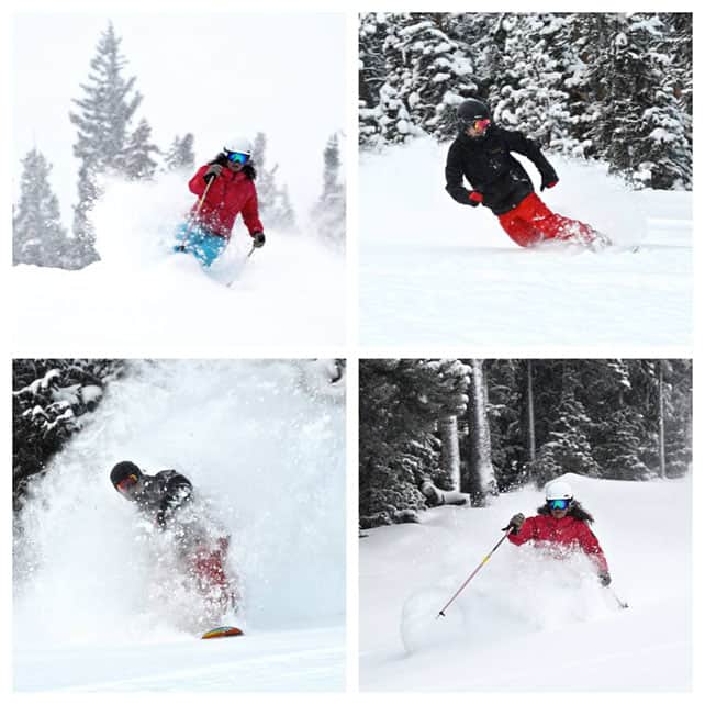
Breckenridge also had about 15cm. Not bad, given only a dusting had been expected. Here’s the video they shot yesterday to celebrate.
According to local snow supremo, Joel Gratz, northern Colorado should see a little more snow midweek – and then a more substantial and widespread storm over the weekend. This storm should affect many areas of the American west, including northern California and the Pacific Northwest, where more snow is badly needed. There, the cover is currently less than 50% of its late-December average.
| France: Conditions in the French Alps have been transformed by the snow of the last week. Half a metre of snow has fallen in many places, and the pistes are in much better shape now. Off-piste, however the avalanche risk is still considerable. Thanks to strong Foehn winds last week, the cover is uneven too – with bald ridge lines alternating with deep drifts. Currently, Les Deux Alpes has 15-180cm of settled cover, on-piste, Val d’Isere has 65-105cm, Val Thorens has 90-135cm, Meribel 50-90cm and La Clusaz 30-150cm. | |
| Switzerland: There was up to 30cm of new snow in Switzerland over the weekend, to add to the moderate-to-heavy falls over the last week. Freeskier Eric Zeller reports 1.6m of fresh snow at altitude in Andermatt in the last week. The snow report for the resort records 75-350cm of settled-cover as result. Elsewhere, Laax the settled cover is 30-140cm deep, in Verbier it’s 30-108cm deep and in St Moritz it’s 86-132cm deep. | |
| Austria: Fresh snow at the weekend added to the sometimes heavy totals clocked up in the Christmas storms in Austria. In the northern Tirol, lower ski areas such as the Skiwelt were particularly grateful for the Saturday/Sunday snow, which helped to freshen up the pistes considerably. Elsewhere, on the Stubai Glacier the settled snow is up to 210cm deep, while in Obergurgl it’s 75-167cm deep, and in St Anton it’s 25-80cm deep. | |
| Italy: The snow is deep in many resorts in the central and western Italian Alps. Currently, above the Aosta Valley Cervinia reports 80-160cm of fresh snow. Further east, in the Dolomites, there’s 30-90cm for snow above Canazei, and up to 160cm on the slopes above Moena. | |
| Andorra: Thanks to heavy snow in November, the Pyrenees got off to a cracking start to the season – and the heavy snow at Christmas has left them in excellent shape for the rest of the holidays. In Andorra, Grandvalira currently reports 90-170cm of settled snow, on-piste. | |
| Western USA: With a few exceptions, it’s been mostly dry in the American Rockies, since the last top-up of snow on December 23. California and the Pacific Northwest remain short of snow and are looking forward to a fundamental change in the weather, which is expected next week. Currently, Breckenridge has 107cm packed down, mid-mountain, Snowbird has 116cm, and Jackson Hole 104cm. | |
| Western Canada: Whistler could do with a decent dump – and there’s hope it may come at the end of the week. Currently, the mid-mountain snowpack is 89cm deep – rather modest by the resort’s exalted standards. Elsewhere, Lake Louise in Banff National Park reports a dusting of new snow and a mid-mountain snowpack of 90cm. Revelstoke reports 1cm of fresh snow and a mid-mountain snowpack of 129cm. |


Stay safe, everyone…
Here’s our latest snow report. https://t.co/KwvMO6c56v
Avalanche risk is still 4 out of 5 https://t.co/adKmTIaIF4
Our thoughts at this time are with the Schumacher family – hoping for a speedy and full recovery #legend https://t.co/tT28lw3afN
Today’s ski report – featuring #Champoluc via @welove2ski https://t.co/JLDacsUska