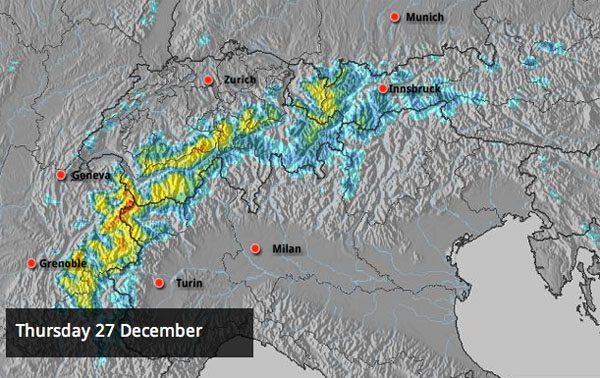
The Alps are getting a late Christmas present today and tomorrow – in the form of drop in temperatures in and a decent dump of snow. Today, France, Switzerland and the Arlberg resorts of Austria will see the deepest accumulations. Our snow forecast reckons there could be nearly metre on the Mont Blanc massif and 50+cm in many French resorts. The Meteo France avalanche service thinks it’s going to be more like 40cm.
Tomorrow, eastern Switzerland and the Tirol/Salzburgerland borders in Austria will get most of the snow. 30-50cm are likely.
It’s going to be windy – very windy at altitude – at the height of the storm. And temperatures are likely to yo-yo about too. Meteo Chamonix expects the freezing level to move from 800m this morning to 1700-1900 metres this afternoon. But all the same – it’s a still a big relief that the worst of the thaw has been chased away. At the start of the week, it was more like Easter than Christmas, with the freezing level at 3000m and rain for a time above 2200m. Needless to say, the quality of the snow was affected – and in his Courmayeur snow report yesterday, Welove2ski blogger Paddy O’Powder grumbled that the thaw had turned “both the pistes and powder runs into knee-deep porridge”.
The change in the weather hasn’t come a moment too soon. Here’s a brief survey of today’s webcams to celebrate.
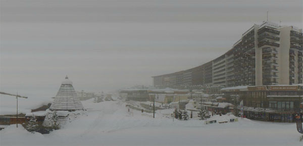
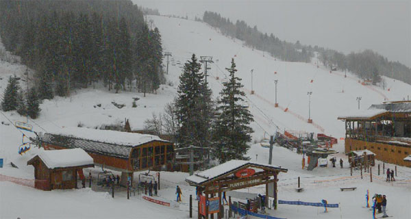
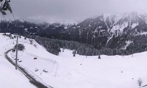
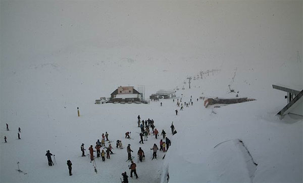
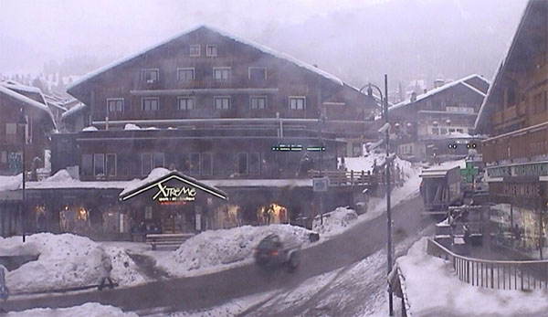
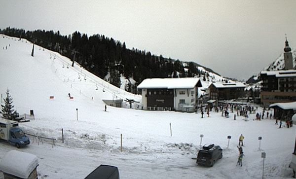
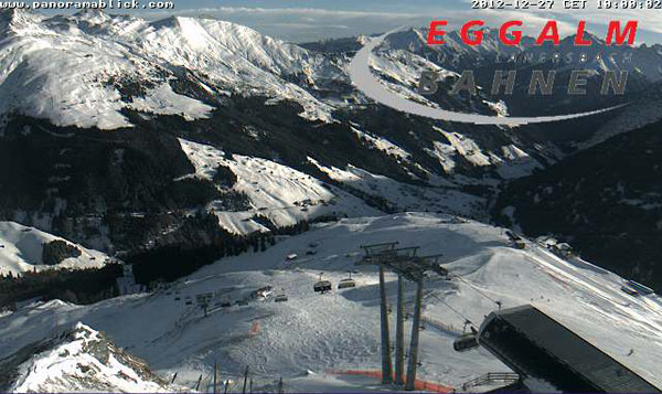
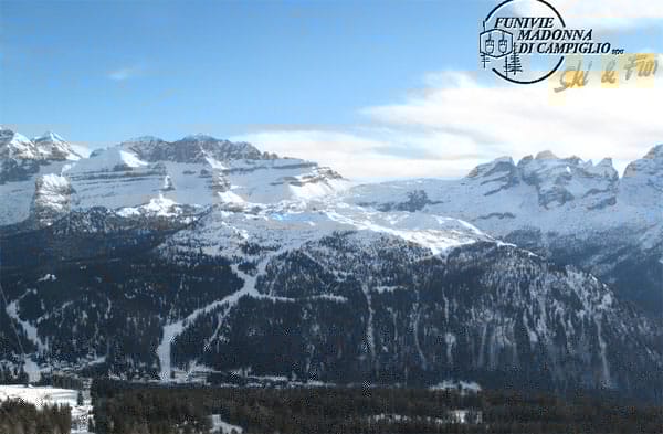
Clearly, in the short term, skiers in the northern half of the Alps are going to have stick below the treeline and/or hire a guide to get the best out of the conditions, whether they’re skiing on piste or off.
Thereafter, skies should clear on Saturday, and there could be more snow again on Sunday and Tuesday/Wednesday next week. However, it’s worth noting that, for the time being, there’s little chance of a return to the really wintry weather we saw in the first half of December. The lower resorts look set to suffer a bit from see-sawing temperatures, with further bouts of rain expected at village level. Aim high for the best snow – but be prepared for stormy conditions from time to time. Ideally, you want a resort which has plenty of high-altitude skiing, above 2200m, but trees lower down for the days when there’s a white-out.
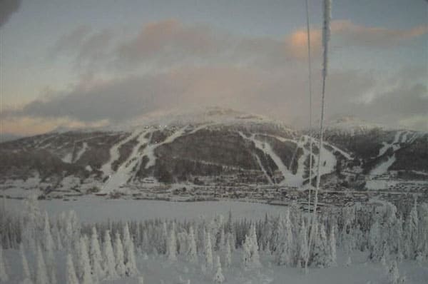
By way of contrast, up in Scandinavia, the thaw has passed them by completely. In Are, Sweden today, it’s -5C on the shores of the lake and -9C on the top of the Areskutan – and what’s more 20-30cm of snow is expected today and tomorrow. Here’s how the resort is looking today from the far side of the lake.
Across the Atlantic, it’s been wintry too. The Californian resorts have been walloped by two separate storms which have dropped up to 172cm of snow on Heavenly, 193cm at Kirkwood and 150cm further south in Mammoth. Here’s the lastest video from Heavenly.
Meanwhile, in the Rockies it’s been frigid. Breckenridge in Colorado has had 30cm of snow over the last week, and is expecting temperatures today to be around -21C, once you’ve factored in the windchill. The settled snow depth there is 84cm, mid-mountain. That’s beginning to look respectable, after a slow start to the winter in Colorado. In Utah, Snowbird reports chilly conditions too – and a further 36cm of snow in the last 48 hours, to add to the 25cm that fell immediately before Christmas. There’s now 172 of settled snow on the mid-mountain trails.

Further north, in Canada, the weather is settling down after an exciting couple of weeks. Whistler’s mid-mountain base is currently two metres, and it reports 105cm of snow in the last week. Inland, Fernie has a settled snowpack of 221cm and reports 98cm of snow in the last week. The high there yesterday was -10C.
| France: Heavy snow at altitude last week was followed by a powerful thaw at the weekend and over Christmas, and rain to 2200m in many places. The snow falling today will do a lot to repair the damage, thank goodness, even though visibility is going to be non-existant above the treeline. Remarkably, snow depths are still very good for the time of year, above about 1500m – testament to the intensity of the wintry blast in early December. Above Tignes, the snow is currently up to 250cm deep; above Val Thorens it’s up to 215cm deep, and above Flaine it’s up to 245cm deep. Clearly, with the temperatures yo-yoing about as they are, you should aim high whenever the skies clear to find the best skiing surface. | |
| Switzerland: What’s true of France is also true of Switzerland. Once skies clear, skiers should aim high to find the best cover. Snow depths are still excellent at altitude for the time of year. Verbier has up to 215cm at the top of its ski area, Andermatt has up to 350cm, and Davos up to 111cm. | |
| Austria: Austria suffered from the thaw, too – but not as severely as in France and western Switzerland. Currently, the Arlberg resorts of St Anton and Lech both report about 150cm of snow at altitude. Above Obergurgl, where there’s up to 216cm. Lower down, in the Skiwelt, there’s a metre of snow up top and 50cm on the valley runs. All areas will be glad of the top-up of cold snow that’s due today and tomorrow. | |
| Italy: Parts of Italian Dolomites got a welcome top-up of snow on December 20: as a result, Canazei reports settled depths of up to 125cm on its pistes. Generally, the weather has been much sunnier than here than in other regions of the Alps this season. Further west, Cervinia reports 185cm of snow, mid-mountain. It’s snowing there again now – which will be doing wonders to refresh the “hard-packed” conditions on-piste. | |
| Andorra: The Pyrenees are suffering in the thaw – which is a shame given the resorts there got off to such a good start in mid-December. In the Grand Valira ski area depths are down slightly: the cover is currently 20-60cm deep, on-piste. | |
| Western USA: See our main report. Currently, in Kirkwood, California, the cover is 172-240cm deep. Snowbird in Utah has 172cm of settled snow, mid-mountain, Jackson Hole in Wyoming 129cm, and Vail, Colorado 60cm. | |
| Western Canada: There’s been some fabulous skiing in western Canada over the last ten days, with over 150cm of fresh snow falling in some resorts. In Whistler the mid-mountain base has now settled to a depth of two metres. In Banff National Park Sunshine Village reports a settled snow base of 131cm, and 39cm of snow this week. |


Goodbye and good riddance to the unseasonable thaw we’ve just had in the Alps. Welcome back, snow! https://t.co/0AmA68AN
RT @welove2ski: Goodbye and good riddance to the unseasonable thaw we’ve just had in the Alps. Welcome back, snow! https://t.co/0AmA68AN
RT @welove2ski: Goodbye and good riddance to the unseasonable thaw we’ve just had in the Alps. Welcome back, snow! https://t.co/0AmA68AN