Happy New Year, Snowfiends! May all your turns in 2015 be smooth, and all your snow soft, cold (and when you walk over it in your ski boots), squeaky.
In the Alps, cold snow has certainly been on the menu this week. As you’ll have seen from our last snow report, conditions right across the northern Alps improved dramatically in the wake of the big weekend storm – which dumped half a metre of desperately-needed snow in many places. It was cold, too: -17C at 2500m was pretty standard. And that’s before you took account of the wind chill.
Here’s how it was looking Verbier, Switzerland on Sunday – one of the resorts where the weekend snow was heaviest. The video comes from ski instructors Jon and Tom of British ski school New Generation.
In the western Alps, the weather settled down quickly after the weekend, and the sun’s been out. Conditions are miraculous, given how snowless the lower resorts were looking ten days ago. But you need to watch out for hard-packed areas where there’s been heavy traffic: and the snow is still pretty thin lower down.
Meanwhile, in the east, and in Austria especially, the pistes are in superb condition thanks to a more extended period of snowfall, which started a week ago. In fact, today is the first properly sunny day they’ve had since then. As a result, even the lower resorts are in great shape.
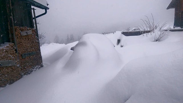
This was how the Skiwelt looked yesterday. 95cm of snow is now packed down on the higher pistes here, and 65cm lower down. It’s still chilly here – but not as frigid as at the start of the week. Top temperature will be -6C.
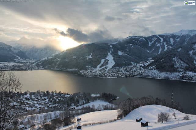
Meanwhile, pictured below, was yesterday’s sunset in Zell am See. On the Schmitten (the slopes behind the town), the snow is 25-75cm deep, and top temperature by the lake will be -2C.
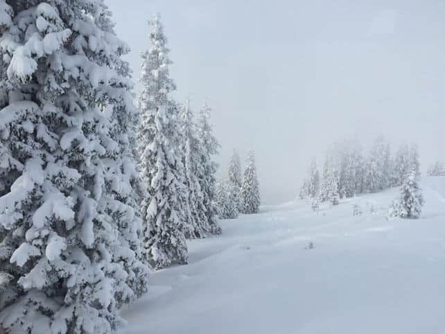
Pictured below is one of the higher slopes at Kitzbuhel, where the cover is currently 52-36cm deep, on-piste.
Higher up, the snow is deeper. Above St Anton, it’s up to 145cm deep, and 35cm on the valley runs, depending on altitude.
Even the Tirol’s avalanche service is impressed. “The landscape is a vast picture of deep snow,” it reports this morning. However, it does counsel caution. “The first day of pleasant weather conditions following a period of snowfall and storm winds is known to be accident-prone. Thus, our appeal on New Year’s Day: exercise extreme caution in very steep terrain above the treeline”. Generally, the avalanche risk here is 3/5, and there’s danger from wind-drifted snow slabs at altitude and from gliding avalanches on previously grassy slopes where the new snow has been heavy.
What’s next?
The forecast is mixed. The weather’s warming up, and in the short term it’s going to get turbulent again: and that’s not a good thing for the lower resorts. Tomorrow, there’s likely to be a dusting of snow at altitude, as a weak weather front arrives from the northwest. Then, a much more powerful system arrives on Saturday, dragging in mild Atlantic air, and bringing rain to the valleys on Saturday. The snowline will hover somewhere between 1500 and 1800m. There’s a good chance temperatures will drop on Sunday in the eastern Alps, and there will be snow, persisting into Monday in Austria.
At that point, high pressure will already be asserting itself in the west, and mild and sunny weather will spread across the whole region next week for a time.
Check out snow forecast for the Alps to see who’s likely to get what over the next five days.
Here’s how it’s looking today
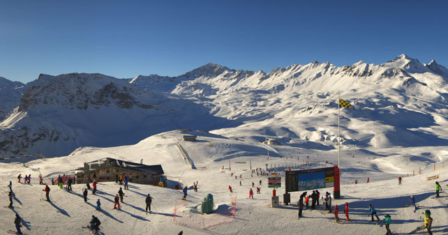
Here’s a brief survey of the morning webcams, starting with the top of the Bellevarde in Val d’Isere, where the snow is 50-95cm deep. Across the Espace Killy, 68% of pistes are now open.
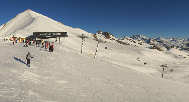
Pictured below is the top of the Combe de la Saulire run in Courchevel. The snow here is 49-88cm deep across the pistes.
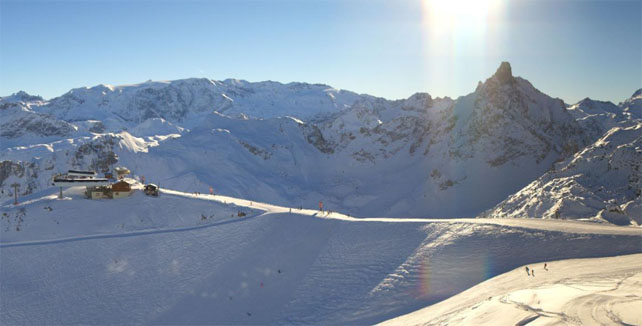
Below is the scene this morning at the top of Serre Chevalier in France, where the cover is currently 30-80cm deep.
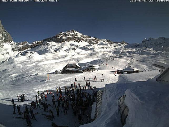
Pictured below is Cervinia in Italy. Italy has missed out on most of the snow of the last week. But Cervinia still has deep cover, and had a 15-20cm top-up on Sunday. The snow’s a metre deep, mid-mountain, although it is becoming hard-packed in places.
Meanwhile, here’s some video shot yesterday in Laax in Switzerland, which has done well from the snowfalls in the eastern Alps. There was 20cm more yesterday, and the snow cover is 35-170cm deep.
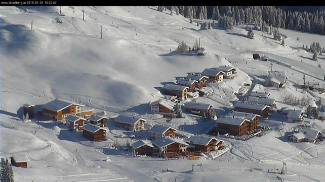
Pictured below is Lech in the Austrian Arlberg this morning, which reports snow 75-115cm deep.
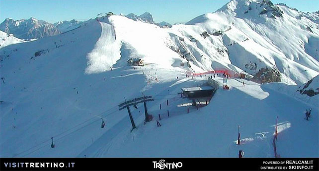
Below is Canazei in the Italian Dolomites, where the snow is 5-60cm deep.
In the Rockies, quieter weather awaits
After all the powder days of the festive period in the American Rockies, the weather seems to be quietening down. According to Colorado snow guru Joel Gratz, the resorts in the south of the state, especially Wolf Creek, should see decent snow today. But generally, it’s going to be drier and (mercifully) a bit warmer. We’re not talking about a thaw, in the short term, but temperatures will be less frigid. There could be light to moderate snow on Saturday across many of the skiing states in the west, but sunshine will predominate.
Here’s a reminder of just how good Christmas was out there, courtesy of some video from Vail. The resort claims more than 6ft (183cm) of snow since December 14.
Further north, in the Canadian Rockies, there should be light to moderate snowfall over the next two or three days. There’s likely to be a temperature inversion today at Lake Louise, in Banff National Park. At the top of the mountain, it’ll be -6C. Down below, it’s not expected to rise about -12C. In the wind, that’s going to feel like -17C. Currently the mid-mountain snow depth is 91cm.
| France: see our main report. The situation in France was improved dramatically by Saturday’s storm which dumped 50cm+ in many resorts. However, that’s not been enough to open all the pistes in many ski areas, and the cover will be starting to wear thin on the lower slopes by the end of the week. So we’re hoping to see another big storm in the near future. Short-term, there will be snow above 1500m on Saturday, with rain lower down, followed by a period of sunshine. As a result, skiers should target high-altitude resorts to be sure of good skiing. Val Thorens is a good bet given the current outlook, with 95-135cm of cover on its pistes. Meanwhile, in the Grand Massif, Flaine has 53-100cm of cover. In Alpe d’Huez there’s 50-115cm of snow on-piste. | |
| Switzerland: as in France, the weekend saw a dramatic transformation in conditions in Switzerland – although there were a few spots where the snow was already deep, such as Andermatt, where there’s now up to 300cm of snow on the Gemsstock. In the east, in resorts such as Laax and Davos, there was light to moderate snowfall into the middle of the week, too. In Davos, the cover on-piste is now 17-116cm deep. In Verbier, the cover is 30-92cm deep. | |
| Austria: the change in Austria’s fortunes began last Thursday, with the first light to moderate snowfall, and it’s been snowing steadily ever since. It’s been cold too, so the pistes are now in great shape, considering how threadbare many of them were ten days ago. Currently St Anton reports cover 30-145cm deep. In Ischgl it’s currently 15-55cm deep. Temperatures will warm up sharply tomorrow, which is going to affect the cover lower down, but more snow is likely on Sunday and Monday. | |
| Italy: Much of the Italian Alps missed out on the meat of the weekend storms, and has had to make do with the low temperatures instead. These have at least allowed the snow cannons to run. Currently above Champoluc and Gressoney in the Monterosa there’s up to 85cm on the highest pistes, although the could do with some more lower down. Meanwhile, in the Dolomites, Canazei has up to 60cm of cover on its higher pistes. | |
| Andorra: in Andorra, the Grandvalira ski area reports a respectable 50-120cm of cover on its pistes. | |
| Western USA: see our main report. Late November and late December have both been wonderful times to ski the American Rockies, with frequent snowstorms in many places. However, it looks as though the white stuff won’t be quite as abundant now: although many areas should see a light to moderate snowfall on Saturday. Currently, Beaver Creek in Colorado has a metre of snow packed down, mid-mountain, Jackson Hole in Wyoming has 155cm, and Snowbird in Utah 180cm. | |
| Western Canada: Whistler is in reasonable shape, with up to 117cm of cover bedded down, mid-mountain. But it’s been a dry week, with only 7cm of new snow added. The next significant storm is expected on Sunday. Meanwhile, in Banff National Park, the trend is for low temperatures, and light snowfall. |




Add Comment