When will it snow in the Alps?
That’s the question on everyone’s lips right now, as we roll towards Christmas, with snowless pistes below 2000m, and news breaking of the first round of opening-day postponements from big-name ski resorts.
Among those which were planning to open on Friday or Saturday were Courchevel, Meribel, St Anton, Lech, the Skiwelt and the resorts around the Sella Massif in the Italian Dolomites. All have now put back their opening days by a week, or are opening lifts to pedestrians but not skiers.
Let’s not forget that several high-altitude resorts are already open, as well as all the glacier ski areas, and some have exceptionally deep cover for the time of year: but this is the moment when the mainstream season is supposed to get going too, and the delay is a big disappointment.
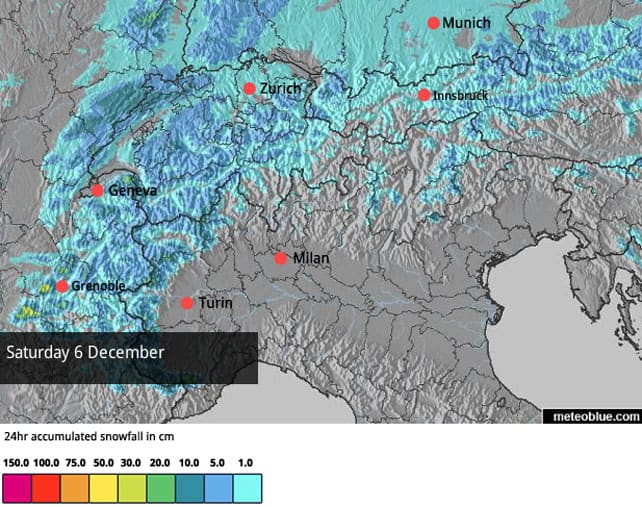
In the short term, a welcome change in the weather is on its way. Friday night will see a significant cooling over the region, with light to moderate snowfall in the west. Here’s how our snow forecast for the Alps is looking for Saturday, December 6.
According to French forecaster, Meteo Chamonix, the snow will settle down to 500m on Friday night, and the freezing point won’t be rising much above 800m until Tuesday. There should be another dose of light-to-moderate snowfall on Monday as well, and throughout this period we should see the snow cannons running at full pelt.
Nowhere will the race to make snow be more urgent than Val d’Isere, where World Cup ski racing is due to start on December 13. The resort’s secret weapon is a brand new snowmaking system believed to be the largest in the world outside the US – capable of converting La Face, the racecourse built for the 1992 Olympics, from green grace to FIS acceptable snow cover in just seven days. Let’s hope they’ll have enough time – and some help from Mother Nature, too.
Beyond Tuesday, however, the outlook is uncertain. Earlier this week, there was consensus amongst the mid-range weather forecasts that on December 11 we’d see a rush of very cold air into the region, accompanied by snow. But the consensus is now breaking down, and it seems the weather could go either way. Europe’s ECMWF is still forecasting the onset of winter. America’s GEFS is predicting high pressure over the region and a mild, sunny spell.
In other words, despite the cooling off this weekend, it’s still too early to say if we’ll see a decisive shift towards good skiing weather. But at least the outlook will be clearer by Monday.
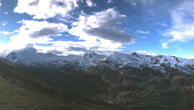
Mind you, it’s a complicated situation across the Alps, even now. Check out the photo, below, of the Grostè area above the Italian resort Madonna di Campiglio, yesterday. Set at the western end of the Dolomite’s Madonna has enjoyed several local snowstorms in recent days, and although it’s been mild lower down, the upper slopes are in great shape. It’s snowing there again, as I write.
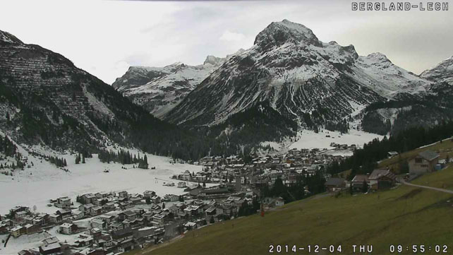
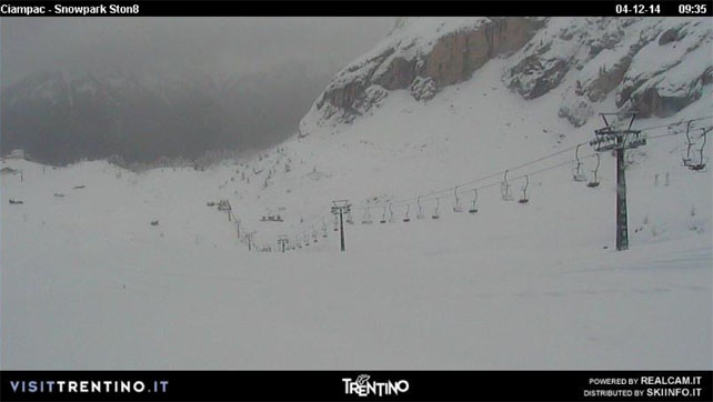
And here’s how Val di Fassa, at the other end of the Dolomites, is looking this morning. No pistes are currently open here, but the snow now falling will surely help them catch up with the season.
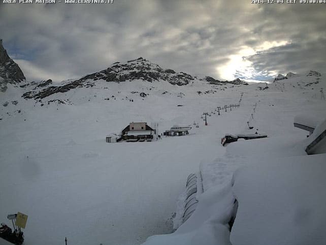
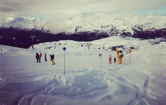
Pictured, below, is high-altitude Cervinia, above Italy’s Aosta Valley, which was walloped by snow in mid-November, and continues to offer some of the best skiing in the Alps.
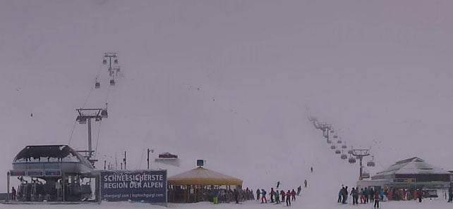
Pictured, below, is Obergurgl in Austria, which is also getting snow today, and has excellent skiing on its upper slopes, whenever skies clear. The settled cover here is up to 90cm deep.
Meanwhile, this video, shot in Ischgl yesterday, shows the good piste-skiing conditions on the top half of the mountain, above 2500m. Currently, a 72km of its pistes are open.
Finally, pictured below, is the scene yesterday up high in Val d’Isere. Only six pistes are currently open in Val, but as is common across the region, there’s no shortage of snow on the very highest slopes.
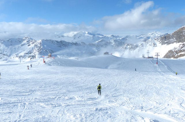
If you want to book a trip now for either December 13 or 20, I’d say hang on a few days to see which way the weather goes next week, in case the heavens open and suddenly the lower resorts see heavy snow: in which case, if you’re quick you could beat the scramble to bag one of the ultra-cheap, very-late-booking deals which are now flooding the market. Or else, to be safe, aim high, for the likes of Val Thorens, Tignes, Obergurgl, Ischgl and Cervinia, where there’s already decent piste skiing on offer.
A mild spell has hit the American west
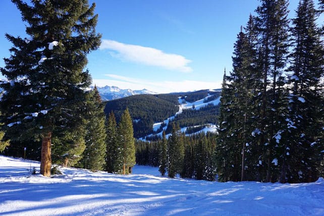
After all the snowy excitement of November, December in the American Rockies has started on a milder, drier note. There have been spells of sunshine in most resorts, but also patches of warm, windy weather, and the occasional bout of snow. In Colorado and Utah, no significant snowstorms are now expected until the end of next week, at the earliest, which is making local skiers rather twitchy. But despite the shortage of fresh powder, there’s still decent cover on the groomed trails. In Vail, Colorado for example, the mid-mountain snowpack is 56cm deep. In Utah, Snowbird reports 81cm of settled cover.
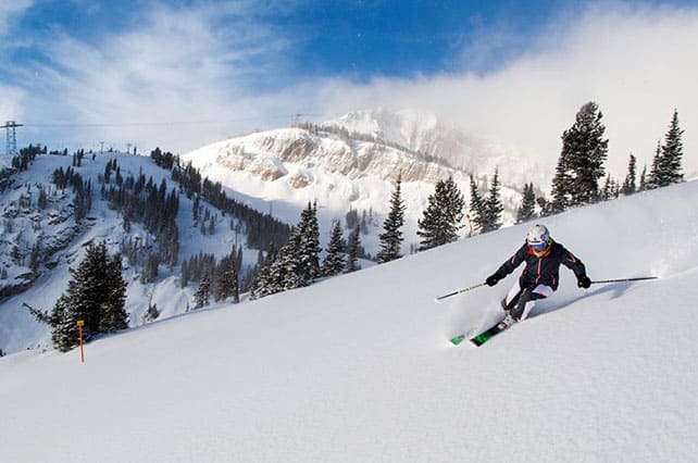
Meanwhile, further north, Jackson Hole in Wyoming has had some of the heaviest early-season snowfall (223cm so far, mid-mountain) and reports settled cover of 104cm on the trails. 100% of its terrain is already open. It too is facing a drier spell over the next three or four days, with a mix of sunshine and flurries in the forecast, but there’s a chance of a heavier snow next Tuesday.
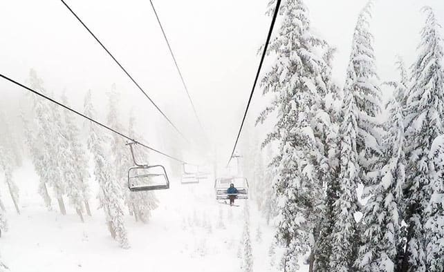
By way of contrast, the Californian resorts have had a slow start to the season, but they’ve seen fresh snow in recent days, and there’s more in the forecast for the weekend. Yesterday, Heavenly, above South Lake Tahoe, was claiming 30cm over the last week. Northstar. at the other end of the lake, has had rather more than that – 63cm in the last week, and is opening up new terrain as a result.
Beautiful weather in the Canadian Rockies
| France: see our main report. It’s going to cool down significantly in the French Alps at the weekend, and some snow is expected. The snow cannons will be running hard to make up for lost time, as a result. Whether that’s enough to get the season back on track remains to be seen, and the real decider will be the weather at the end of next week, which could bring heavier snow and more intense cold – or sunshine. For the time being, Tignes and Val Thorens are the resorts to target, although there are six pistes open in Val d’Isere and Serre Chevalier is planning to open at the weekend too. The season is also underway in Les Deux Alpes. | |
| Switzerland: there’s decent skiing on offer on the glaciers above Zermatt, Saas-Fee, Engelberg and Les Diablerets. Snow cover at altitude above Zermatt and Saas-Fee is exceptional in the wake of the heavy snow in mid-November. Verbier is now also open for the season, although only four pistes are available for skiing and the settled cover is 35cm deep. | |
| Austria: all eyes are now on the forecast for next week. The snow cannons will at last be able to run in the lower resorts, but a decent dump of snow from Mother Nature would help no end. You can currently ski at Obergurgl and Ischgl, as well as on the Hintertux, Stubai, Molltal, Pitztal, Kaunertal, Rettenbach and Kitzsteinhorn glaciers. | |
| Italy: early-season conditions have been superb above Cervinia, especially above 2500m. Above Champoluc and Gressoney in the Monterosa ski area a handful of lifts and pistes are also open, and there’s good snow on the Groste sector of Madonna di Campiglio. However, as is the case elsewhere in the Alps cover is very thin, or non-existent, in many Italian resorts, and the start of the ski season is on hold. Above Val Senales in the South Tyrol, eight pistes are currently open for skiing on the glacier. Above Passo Tonale, on the Presena Glacier, three pistes are also open. | |
| Andorra: the situation is the Pyrenees is very similar to that in the Alps right now. There’s snow on the high peaks and ridges, but lower down the pistes are green, not white. However, the Grandvalira ski area, home to Soldeu and Pas de la Casa, will be opening this weekend, with 35km of pistes on offer for skiing. | |
| Western USA: see our main report. November turned into a memorable month in the American Rockies with the snowstorms coming in waves. As a result, many resorts are in great shape for the early season, although the milder weather in Colorado and Utah of recent days has made the snow heavy on the lower slopes. In Breckenridge, Colorado, the settled cover is 91cm deep on the upper slopes. In Snowbird, Utah, it’s around 80cm deep. Further north, Jackson Hole is in great shape with over a metre of snow packed down mid-mountain, and 100% of its terrain open. | |
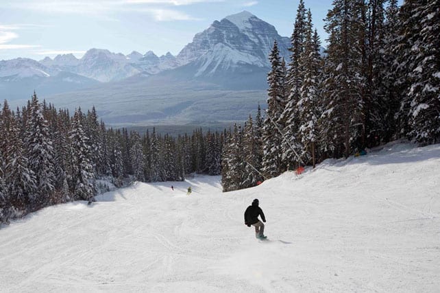
| Western Canada: Whistler opened on November 21 this year, and now offers skiing on both Whistler and Blackcomb mountains. However, the resort has only seen 8cm of snow in the last week and the mid-mountain cover is now 50cm deep. All eyes are now on the forecast next week, which could see a couple of big storms. Meanwhile, in Banff National Park, Lake Louise temperatures are rising slightly after a frigid start to the week, but the snow on the groomed trails is still in excellent condition. |




Add Comment